
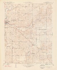
1948 Map of Corydon East
USGS Topo · Published 1948About this map
Corydon serves as the focal point for this Harrison County landscape in the years following World War II, situated where Little Indian Creek meets the larger Indian Creek. The terrain is defined by a dense network of country schools and churches that anchored rural Indiana life during this era, including the Getz School and Phrimers Ch.
Find a feature on this map
24 named features on this map. Tap any name to fly to it.
Don’t see what you’re looking for? This feature index may not catch every label — zoom into the map to look around manually.
Map Details
Editions of this 1948 Corydon East Map
2 editions found
Other maps of this area

1909 · Kosmosdale
USGS Topo · 1:48,000

1912 · Kosmosdale
USGS Topo · 1:62,500

1931 · Corydon
USGS Topo · 1:62,500

1939 · Georgetown
USGS Topo · 1:24,000

1944 · Corydon West
USGS Topo · 1:24,000

1946 · Depauw
USGS Topo · 1:24,000

1947 · Georgetown
USGS Topo · 1:24,000

1947 · Corydon West
USGS Topo · 1:24,000

1947 · Mauckport
USGS Topo · 1:24,000

1948 · Laconia
USGS Topo · 1:24,000