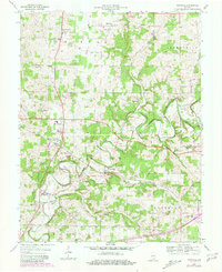
1954 Map of Crandall
USGS Topo · Published 1981About this map
Indian Creek meanders through the heart of Harrison County, shaping a landscape of deep limestone valleys and agricultural plateaus. The Southern railroad serves as the primary artery for the region, connecting the significant depot at Corydon Junction with the small village of Crandall. This transportation corridor was central to the development of several crossroads communities including New Salisbury and Mott Station.
Find a feature on this map
42 named features on this map. Tap any name to fly to it.
Don’t see what you’re looking for? This feature index may not catch every label — zoom into the map to look around manually.
Map Details
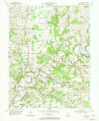
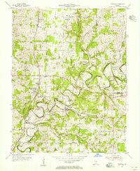
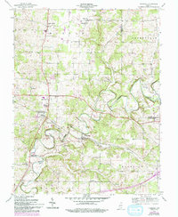
Editions of this 1954 Crandall Map
4 editions found
Other maps of this area

1909 · Kosmosdale
USGS Topo · 1:48,000

1912 · Kosmosdale
USGS Topo · 1:62,500

1931 · Corydon
USGS Topo · 1:62,500

1939 · Georgetown
USGS Topo · 1:24,000

1941 · Borden
USGS Topo · 1:24,000

1944 · Corydon West
USGS Topo · 1:24,000

1946 · Depauw
USGS Topo · 1:24,000

1947 · Georgetown
USGS Topo · 1:24,000

1947 · Corydon West
USGS Topo · 1:24,000

1948 · Corydon East
USGS Topo · 1:24,000