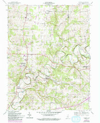
1954 Map of Crandall
USGS Topo · Published 1994About this map
Indian Creek and its many tributaries, including Corn Creek and Crandall Branch, carve through the rural landscape of Harrison and Floyd Counties. This area in the mid-20th century remains defined by small agricultural settlements and a network of country churches such as St Michael Ch and Zoar Ch. The Southern Railway corridor plays a significant role in the local geography, anchoring communities like Crandall and Corydon Junction. Genealogists will find a wealth of burial sites scattered across the townships, ranging from the uniquely named Whiskey Cem to family and church grounds like Sappenfield Cem and Conrad Cem. The map provides a look at the transition between established villages like New Salisbury and the quieter hamlets of Mott Station and Hursttown as they appeared before later development altered the rural character of the region.
Find a feature on this map
36 named features on this map. Tap any name to fly to it.
Don’t see what you’re looking for? This feature index may not catch every label — zoom into the map to look around manually.
Map Details
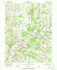
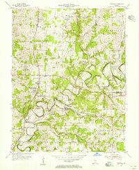
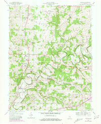
Editions of this 1954 Crandall Map
4 editions found
Other maps of this area

1909 · Kosmosdale
USGS Topo · 1:48,000

1912 · Kosmosdale
USGS Topo · 1:62,500

1931 · Corydon
USGS Topo · 1:62,500

1939 · Georgetown
USGS Topo · 1:24,000

1941 · Borden
USGS Topo · 1:24,000

1944 · Corydon West
USGS Topo · 1:24,000

1946 · Depauw
USGS Topo · 1:24,000

1947 · Georgetown
USGS Topo · 1:24,000

1947 · Corydon West
USGS Topo · 1:24,000

1948 · Corydon East
USGS Topo · 1:24,000