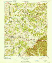
1952 Map of Georgetown
USGS Topo · Published 1952About this map
Georgetown and the rugged knobs of Floyd County define this mid-century landscape, where the Southern railroad line snakes through the hills towards a prominent Tunnel east of Duncan. The geography is shaped by the winding courses of Big Indian Creek and Little Indian Creek, which carve through a series of named ridges including Hickory Ridge and Skipsey Ridge. These high points separate small agricultural settlements and rural centers like Greenville and Galena.
Find a feature on this map
45 named features on this map. Tap any name to fly to it.
Don’t see what you’re looking for? This feature index may not catch every label — zoom into the map to look around manually.
Map Details
Editions of this 1952 Georgetown Map
This is the sole edition of this map. No revisions or reprints were ever made.
Other maps of this area

1909 · Kosmosdale
USGS Topo · 1:48,000

1912 · Kosmosdale
USGS Topo · 1:62,500

1931 · Corydon
USGS Topo · 1:62,500

1938 · Speed
USGS Topo · 1:24,000

1939 · New Albany
USGS Topo · 1:24,000

1939 · Georgetown
USGS Topo · 1:24,000

1941 · Borden
USGS Topo · 1:24,000

1946 · New Albany
USGS Topo · 1:24,000

1947 · Speed
USGS Topo · 1:24,000

1947 · Georgetown
USGS Topo · 1:24,000