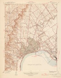
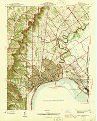
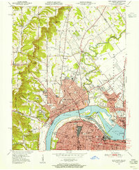
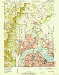
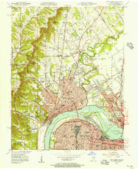
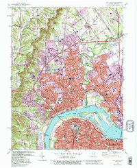
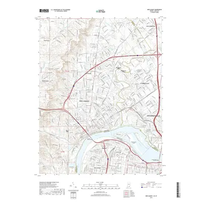
1946 Map of New Albany
USGS Topo · Published 1946About this map
The Ohio River waterfront anchors this mid-century survey, detailing the industrial and transportation hub where New Albany meets the Falls of the Ohio. A dense network of railroads, including the Baltimore and Ohio RR and the Pennsylvania RR, highlights the area's importance as a gateway between Indiana and Kentucky. The map captures the urban growth of Clarksville and Jeffersonville alongside established neighborhoods like Claysburg.
Find a feature on this map
56 named features on this map. Tap any name to fly to it.
Don’t see what you’re looking for? This feature index may not catch every label — zoom into the map to look around manually.
Map Details
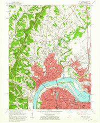
Editions of this 1946 New Albany Map
2 editions found
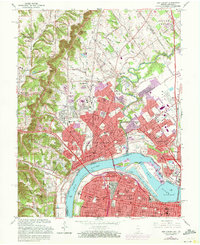
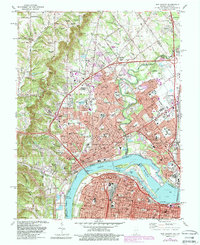
Historical Maps of Louisville Through Time
14 maps found

1939 New Albany
Floyd County, IN
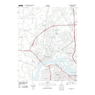
1946 New Albany
Floyd County, IN
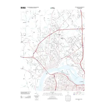
1950 New Albany
Floyd County, IN
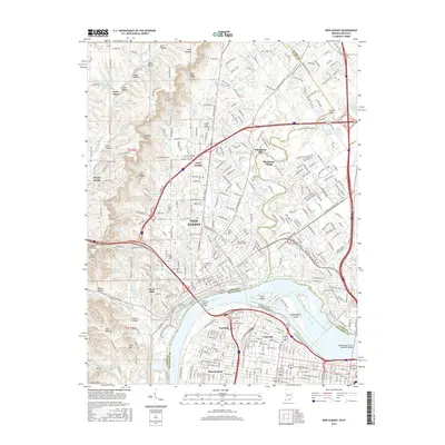
1951 New Albany
Floyd County, IN
1955 New Albany
Floyd County, IN
1960 New Albany
Floyd County, IN
1965 New Albany
Floyd County, IN
1982 New Albany
Floyd County, IN
1992 New Albany
Floyd County, IN
2010 New Albany
Floyd County, IN
2013 New Albany
Floyd County, IN
2016 New Albany
Floyd County, IN
2019 New Albany
Floyd County, IN
2023 New Albany
Floyd County, IN