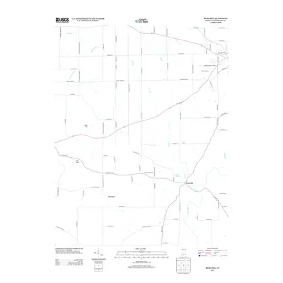
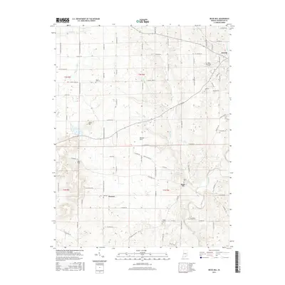
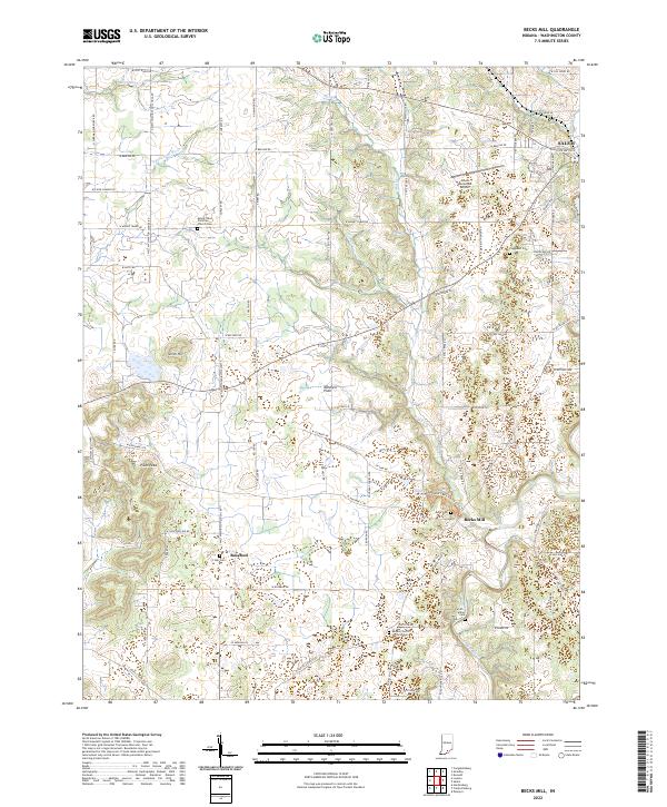
1950 Map of Becks Mill
USGS Topo · Published 1950About this map
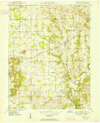
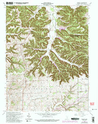
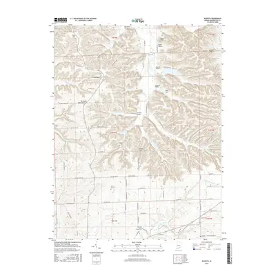
Becks Mill serves as a focal point for this mid-century topographic study of Washington County, where the eponymous settlement and mill sit near the Blue River. The landscape is defined by a dense network of local landmarks, including several schools named for distant states, such as Texas Sch and Kansas Sch, reflecting the civic priorities of these rural townships. In the northeast corner, the city of Salem is shown as it was shortly after the war, positioned along the tracks of the Chicago Indianapolis and Louisville railroad.
Find a feature on this map
28 named features on this map. Tap any name to fly to it.
Don’t see what you’re looking for? This feature index may not catch every label — zoom into the map to look around manually.
Map Details
Editions of this 1950 Becks Mill Map
This is the sole edition of this map. No revisions or reprints were ever made.
Historical Maps of Salem Through Time
27 maps found
1950 Becks Mill
Washington County, IN
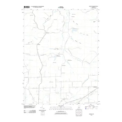
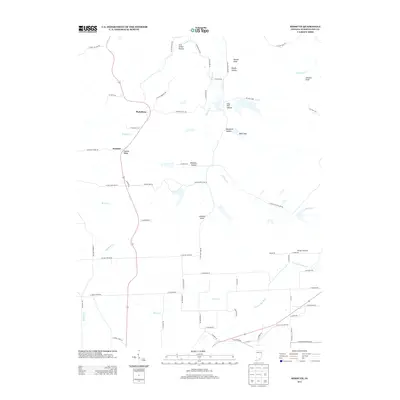
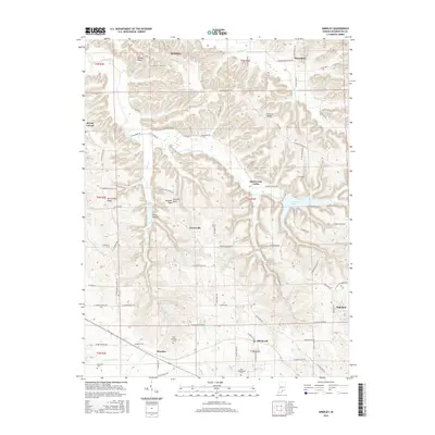
1951 Smedley
Washington County, IN
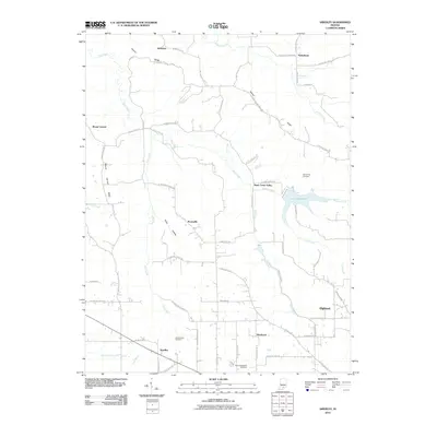
1953 Kossuth
Washington County, IN
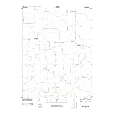
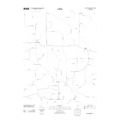
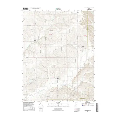
1955 South Boston
Washington County, IN
1963 Kossuth
Washington County, IN
1966 Becks Mill
Washington County, IN
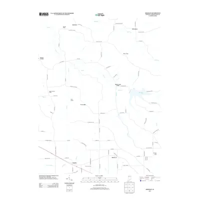
1966 Smedley
Washington County, IN
2010 Becks Mill
Washington County, IN
2010 Kossuth
Washington County, IN
2010 Smedley
Washington County, IN
2010 South Boston
Washington County, IN
2013 Becks Mill
Washington County, IN
2013 Kossuth
Washington County, IN
2013 Smedley
Washington County, IN
2013 South Boston
Washington County, IN
2016 Becks Mill
Washington County, IN
2016 Kossuth
Washington County, IN
2016 Smedley
Washington County, IN
2016 South Boston
Washington County, IN
2019 Becks Mill
Washington County, IN
2019 Kossuth
Washington County, IN
2019 Smedley
Washington County, IN
2019 South Boston
Washington County, IN
2022 Becks Mill
Washington County, IN
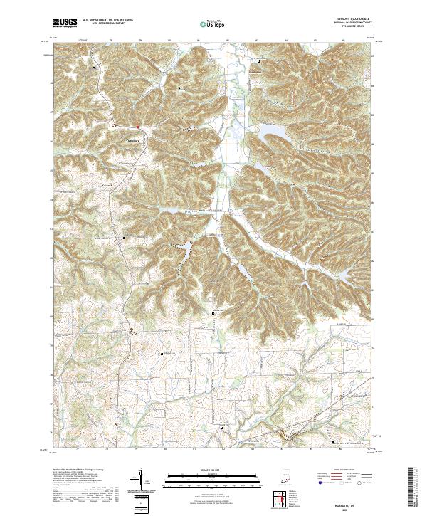
2022 Kossuth
Washington County, IN
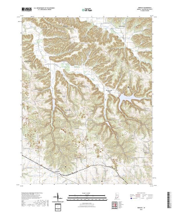
2022 Smedley
Washington County, IN
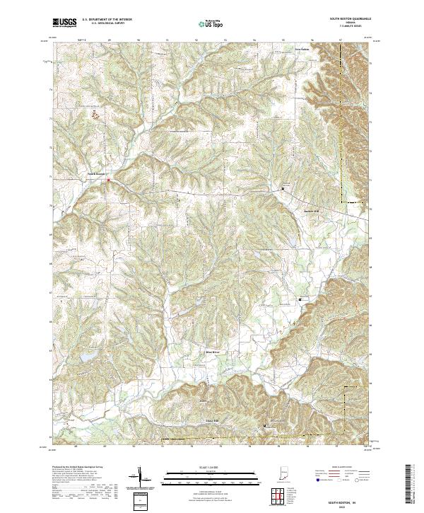
2022 South Boston
Washington County, IN