
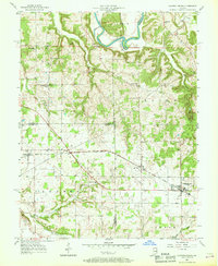
1957 Map of Campbellsburg
USGS Topo · Published 1958About this map
Monon railroad tracks form a central spine through this mid-century landscape, connecting the small agrarian hubs of Campbellsburg, Saltillo, and Leipsic. The terrain transitions from the relatively flat, cultivated lands in the south toward the deeply dissected drainage of the East Fork White River in the north. At Horseshoe Bend, the river creates a dramatic loop through the Guthrie region, while the southern reaches are defined by the winding course of the Lost River and its north fork.
Find a feature on this map
38 named features on this map. Tap any name to fly to it.
Don’t see what you’re looking for? This feature index may not catch every label — zoom into the map to look around manually.
Map Details
Editions of this 1957 Campbellsburg Map
2 editions found
Other maps of this area

1934 · Bedford
USGS Topo · 1:48,000

1937 · Bedford
USGS Topo · 1:62,500

1950 · Becks Mill
USGS Topo · 1:24,000

1950 · Mitchell
USGS Topo · 1:24,000

1951 · Smedley
USGS Topo · 1:24,000

1956 · Vincennes
USGS Topo · 1:250,000

1957 · Vincennes
USGS Topo · 1:250,000

1957 · Livonia
USGS Topo · 1:24,000
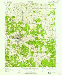
1957 · Paoli
USGS Topo · 1:24,000

1958 · Vincennes
USGS Topo · 1:250,000