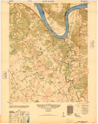
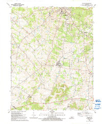
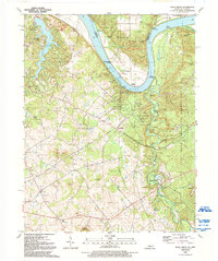
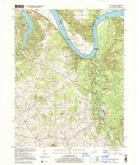
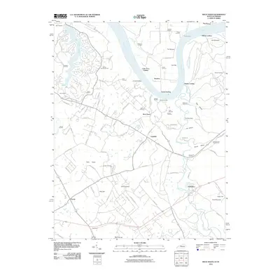
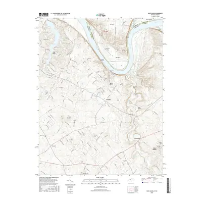
1946 Map of Rock Haven
USGS Topo · Published 1946About this map
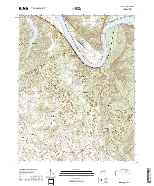
Garnettsville and Grahamton sit along the winding banks of Otter Creek, providing a detailed look at the rural landscape of Meade County just after the war. This territory is defined by the sharp bend of the Ohio River, where river commerce is supported by Lock and Dam 43 and multiple historical landings such as Cedar Farm Landing and Hughes Landing. The southern and eastern portions of the map are heavily influenced by the presence of the Fort Knox Military Reservation, which abuts the Otter Creek National Park.
Find a feature on this map
44 named features on this map. Tap any name to fly to it.
Don’t see what you’re looking for? This feature index may not catch every label — zoom into the map to look around manually.
Map Details
Editions of this 1946 Rock Haven Map
This is the sole edition of this map. No revisions or reprints were ever made.
Historical Maps of New Boston Through Time
17 maps found
1946 Rock Haven
Meade County, KY
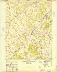
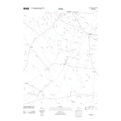
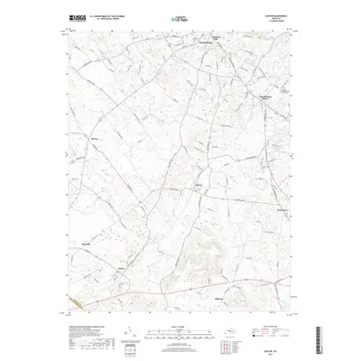
1948 Guston
Meade County, KY
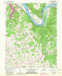
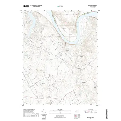
1960 Rock Haven
Meade County, KY
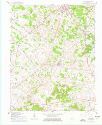
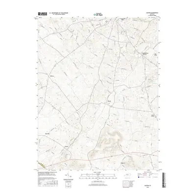
1961 Guston
Meade County, KY
1991 Guston
Meade County, KY
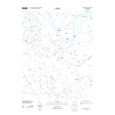
1991 Rock Haven
Meade County, KY
1998 Rock Haven
Meade County, KY
2010 Guston
Meade County, KY
2010 Rock Haven
Meade County, KY
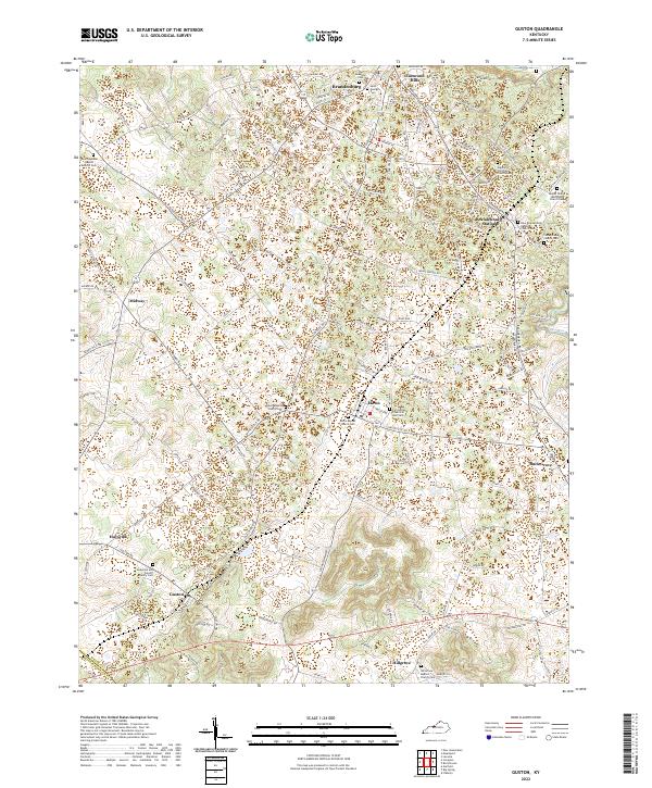
2013 Guston
Meade County, KY
2013 Rock Haven
Meade County, KY
2016 Guston
Meade County, KY
2016 Rock Haven
Meade County, KY
2019 Guston
Meade County, KY
2019 Rock Haven
Meade County, KY
2022 Guston
Meade County, KY
2022 Rock Haven
Meade County, KY