
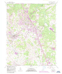
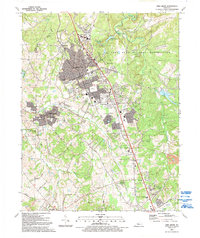
1946 Map of Vine Grove
USGS Topo · Published 1959About this map
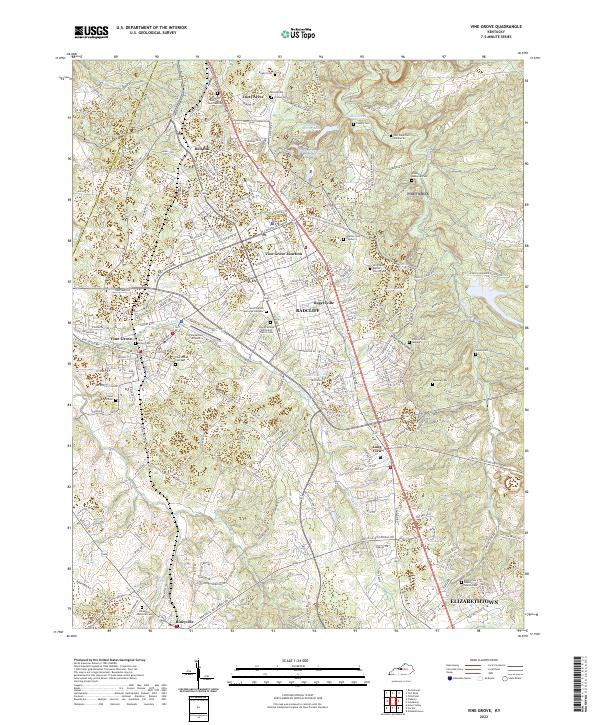
The Fort Knox Military Reservation dominates this 1940s landscape, illustrating a critical period of expansion for the facility during and immediately following World War II. The map reveals the intricate network of base infrastructure, including Godman Field, South Base, and various training routes like Battle Training Road. Beyond the federal boundaries, the civilian world is marked by the heavy traffic of the Dixie Highway and the intersection of the Illinois Central and Louisville and Nashville railroads.
Find a feature on this map
170 named features on this map. Tap any name to fly to it.
Don’t see what you’re looking for? This feature index may not catch every label — zoom into the map to look around manually.
Map Details
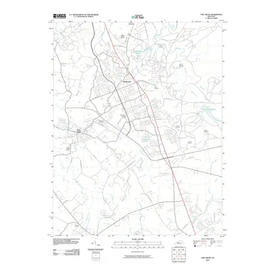
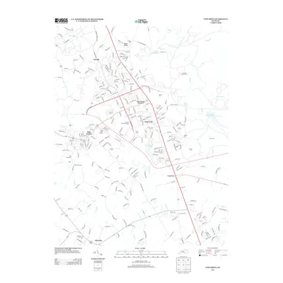
Editions of this 1946 Vine Grove Map
This is the sole edition of this map. No revisions or reprints were ever made.
Historical Maps of Louisville Through Time
11 maps found

1936 Vine Grove
Hardin County, KY

1943 Vine Grove
Hardin County, KY

1946 Vine Grove
Hardin County, KY
1946 Vine Grove
Hardin County, KY
1960 Vine Grove
Hardin County, KY
1991 Vine Grove
Hardin County, KY
2010 Vine Grove
Hardin County, KY
2013 Vine Grove
Hardin County, KY
2016 Vine Grove
Hardin County, KY
2019 Vine Grove
Hardin County, KY
2022 Vine Grove
Hardin County, KY