Old Maps of Island City, Kentucky for Academic Research
Study the evolution of Island City with 11 high-resolution historic maps. Whether you're teaching, researching, or modeling changes in land use, these maps provide essential visual documentation of urban, environmental, and geographic change.
- Analyze long-term change: Track patterns in development, transportation, and natural features.
- Ideal for environmental or urban studies: Support academic projects with primary historical map data.
- Use in the classroom or lab: Educators and researchers rely on these maps to bring historical context to life.
These maps are a powerful tool for teaching, research, and visualizing how Island City has changed over the decades.
Island City, KY maps
(11)- 1891 Map of Manchester
 1891 Manchester1891 Print · USGSEastern Kentucky's mountain settlements and early salt industry come to life in the years following the Reconstruction era. Genealogists and historians can locate early family landmarks such as Moore Store, the Salt Works, and Boush Store.7 unique versions available
 - 1954 Map of Maulden, 1955 Print
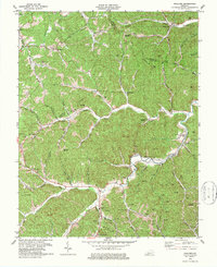
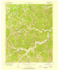 1954 Maulden1955 Print · USGSThe hills of Clay, Jackson, and Owsley Counties show a world of remote hollows and creek-side settlements during the mid-fifties. Genealogists can trace family names at Cradlebow Cem and locate community landmarks like Maulden PO and Silvermine Sch.2 unique versions available
 - 1957 Map of Jenkins, 1974 Print
 1957 Jenkins1974 Print · USGSThe Cumberland Plateau in the mid-twentieth century reveals a complex landscape of winding river valleys and deep-seated industry. Genealogists and historians can trace the development of Hazard, Jenkins, and Pikeville alongside extensive Numerous Oil and Gas Fields and the routes of the Chesapeake & Ohio Railway.
 - 1960 Map of Jenkins
 1960 Jenkins1960 Print · USGSEastern Kentucky and the West Virginia borderlands are captured at a mid-century peak of the coal and rail era. Trace the industrial corridors of the Chesapeake and Ohio RR through mountain hubs like Hazard and Jenkins.
 - 1977 Map of Hazard, 1983 Print
 1977 Hazard1983 Print · USGSEastern Kentucky's coal country comes into sharp focus during the late seventies, showing the deep-set river valleys and mountain gaps that shaped regional life. Genealogists can trace family connections through river-bottom settlements like Oneida, Krypton, and Bulan or follow the Seaboard System rail lines.
 - 1979 Map of Maulden
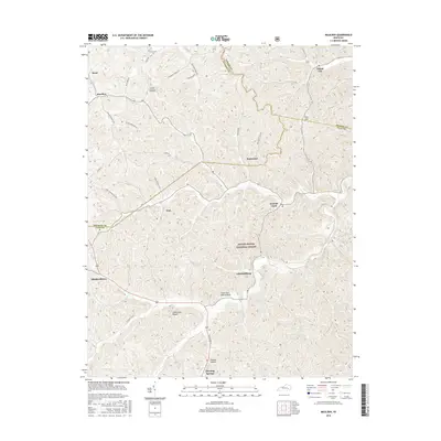
 1979 Maulden1979 Print · USGSClay County and the surrounding ridges are shown in the late seventies as the coal and gas industries reshaped the traditional landscape. Genealogists can locate family burial sites like McDaniel Cem and rural centers like Burning Springs and Little.
 - 2011 Map of Maulden, 2011 Print
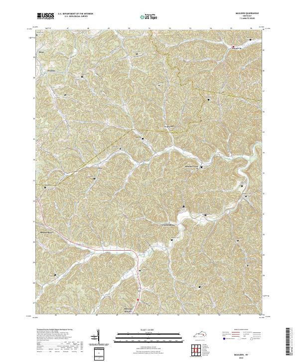
 2011 Maulden2011 Print · USGSCovers Island City, including Maulden, Chestnutburg, and other nearby areas
 - 2013 Map of Maulden, 2013 Print
 2013 Maulden2013 Print · USGSCovers Island City, including Maulden, Chestnutburg, and other nearby areas
 - 2016 Map of Maulden, 2016 Print
 2016 Maulden2016 Print · USGSCovers Island City, including Maulden, Chestnutburg, and other nearby areas
 - 2019 Map of Maulden, 2019 Print
 2019 Maulden2019 Print · USGSCovers Island City, including Maulden, Chestnutburg, and other nearby areas
 - 2022 Map of Maulden, 2022 Print
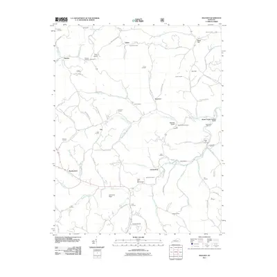
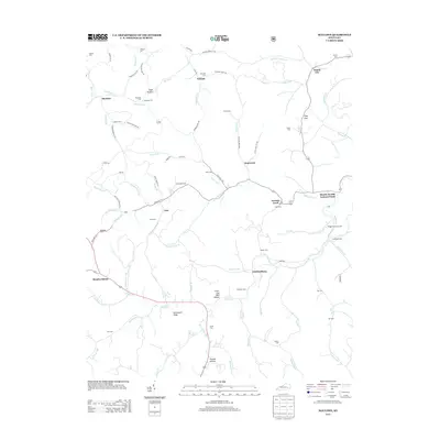
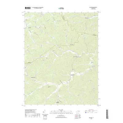
 2022 Maulden2022 Print · USGSClay and Owsley counties appear here in the early twenty-first century, showing a landscape of upland hollows and small creek-side settlements. Genealogists can trace family names at Robinson Cem, Sacker Cem, and the old crossroads at Chestnutburg.
End of results
Showing maps 1-11 of 11
Top cities near Island City
- Manchester historical maps
- Beattyville historical maps
- Annville historical maps
- McKee historical maps
- Booneville historical maps
- Willow Shoals historical maps
Frequently asked questions
- What are the different types of historical maps available for Island City?
- What is the oldest map of Island City?
- Where can I purchase historical maps of Island City for my home or office?
- Where can I download high-res historical maps of Island City?
- Are there historical topographic maps available for Island City?
- Is there historical aerial imagery available for Island City?
- Where are historical maps of Island City sourced from?