Old Maps of Morgan, Kentucky
Explore 11 old maps of Morgan, spanning from 1930 to today. These high-resolution historic maps reveal how streets, neighborhoods, landmarks, and natural features evolved over time — perfect for genealogy, metal detecting, research, and local history exploration.
What you can do with these maps:
- See how Morgan changed over time: Compare historical maps to modern-day views to trace roads, homesites, rail lines & more.
- View detailed metadata: Each map includes creators, publishers, year, scale, and archive source.
- Overlay maps with satellite & LiDAR: Visualize the past alongside modern tools to explore terrain & human change.
- Trusted historical sources: Maps sourced from the USGS, Library of Congress, and other archives.
- Access maps your way: View online, download high-res files, or order prints for personal or research use.
Start exploring old maps of Morgan to uncover forgotten places, hidden landmarks, and the deep history beneath your feet.
Morgan, KY maps
(11)- 1930 Map of Falmouth
 1930 Falmouth1930 Print · USGSPendleton and Harrison counties are shown here in the early thirties, centered on the river-and-rail hub of Falmouth. Genealogists and historians can locate dozens of country institutions like Bunker Hill Sch, Mt Carmel Ch, and the riverside station at Catawba.
 - 1936 Map of Falmouth
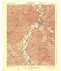 1936 Falmouth1936 Print · USGSPendleton and Harrison counties come to life in this mid-depression era survey of the Licking River valley. Genealogists can trace family footprints across a landscape dotted with dozens of rural landmarks like Beagle Sch, Morgan, and Mt Carmel Ch.2 unique versions available
 - 1953 Map of Berry, 1955 Print
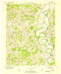 1953 Berry1955 Print · USGSHarrison and Pendleton counties come alive in the 1950s as the river and rail lines shape local life. Researchers can trace the winding South Fork Licking River to find riverside stops at Morgan, Boyd, and the church at Boyer Ch.
 - 1956 Map of Louisville, 1971 Print
 1956 Louisville1971 Print · USGSThe Ohio River valley and the Kentucky Bluegrass are captured here during a period of rapid mid-century growth and industrial activity. Genealogists and historians can trace rail-centered towns and military land use at Fort Knox and the Jefferson Proving Ground.2 unique versions available
 - 1964 Map of Louisville
 1964 Louisville1964 Print · USGSThe Ohio River valley and Kentucky Bluegrass are captured in the mid-1960s, showing a region balanced between industrial growth and its agrarian roots. Genealogists and historians can trace the development of county seats like Shelbyville and Paris, or locate established institutions such as Georgetown College and Bernheim Forest.
 - 1986 Map of Falmouth
 1986 Falmouth1986 Print · USGSNorthern Kentucky and the Ohio River valley are shown here in the mid-1980s, highlighting the region's complex river-and-rail geography. Genealogists and researchers can trace the roads connecting Big Bone Lick, Zion Church, and river towns like Falmouth and Augusta.2 unique versions available
 - 2010 Map of Berry, 2010 Print
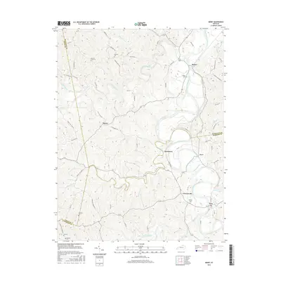
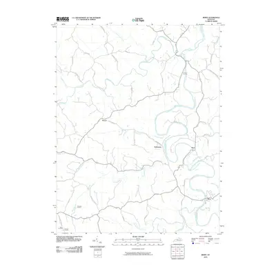 2010 Berry2010 Print · USGSCovers Morgan, including Berry, Boyd, and other nearby areas
 - 2013 Map of Berry, 2013 Print
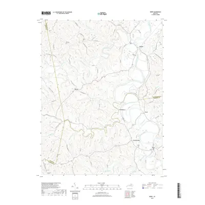
 2013 Berry2013 Print · USGSCovers Morgan, including Berry, Boyd, and other nearby areas
 - 2016 Map of Berry, 2016 Print
 2016 Berry2016 Print · USGSCovers Morgan, including Berry, Boyd, and other nearby areas
 - 2019 Map of Berry, 2019 Print
 2019 Berry2019 Print · USGSCovers Morgan, including Berry, Boyd, and other nearby areas
 - 2022 Map of Berry, 2022 Print
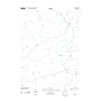
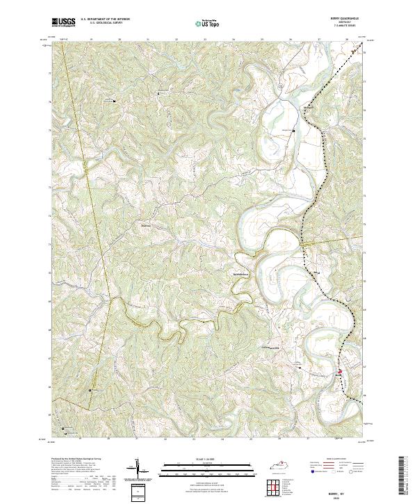 2022 Berry2022 Print · USGSThe South Fork Licking River valley comes alive in this contemporary survey of the Harrison and Pendleton county borders. Genealogists can trace family roots through numerous burial sites and rural hubs like Berry, Colemansville, and Pythian Grove Cem.
End of results
Showing maps 1-11 of 11
Top cities near Morgan
- Cynthiana historical maps
- Crittenden historical maps
- Dry Ridge historical maps
- Falmouth historical maps
- Butler historical maps
- Sadieville historical maps
See more
Frequently asked questions
- What are the different types of historical maps available for Morgan?
- What is the oldest map of Morgan?
- Where can I purchase historical maps of Morgan for my home or office?
- Where can I download high-res historical maps of Morgan?
- Are there historical topographic maps available for Morgan?
- Is there historical aerial imagery available for Morgan?
- Where are historical maps of Morgan sourced from?