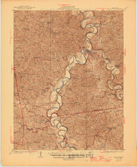
1930 Map of Falmouth
USGS Topo · Published 1930About this map
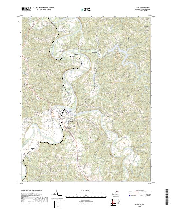
The Licking River and its South Fork dominate this 1930 survey, winding through the complex terrain of Pendleton County. The Falmouth townsite sits at the strategic confluence of these waters, served by the Louisville and Nashville Railroad which follows the river valleys. This map captures a dense network of rural infrastructure just before the mid-century consolidation of local institutions. Scores of small schoolhouses and churches are named, including the Livingood Sch, Bunker Hill Sch, and Richland Ch, documenting the social footprint of communities like Catawba, Morgan, and Kelat. The topographical detail reveals the transition from the river bottoms to the heights of Liberty Ridge, providing a clear view of how early Kentucky settlements and roads were dictated by the meandering watercourses.
Find a feature on this map
82 named features on this map. Tap any name to fly to it.
Don’t see what you’re looking for? This feature index may not catch every label — zoom into the map to look around manually.
Map Details
Editions of this 1930 Falmouth Map
This is the sole edition of this map. No revisions or reprints were ever made.
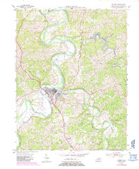
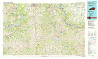
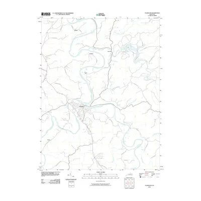
Historical Maps of Falmouth Through Time
9 maps found