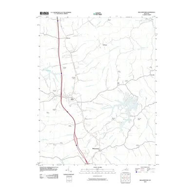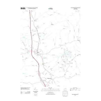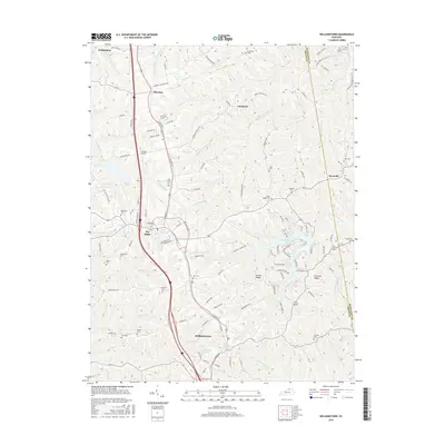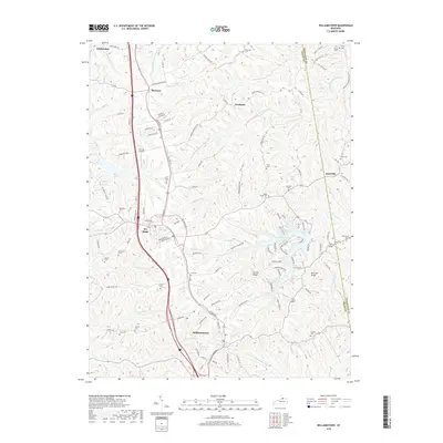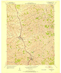
1950 Map of Williamstown
USGS Topo · Published 1952About this map
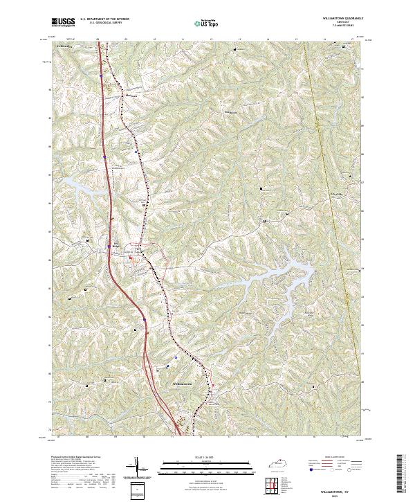
The Southern railroad corridor and the storied Dixie Highway serve as the primary north-south conduits through this portion of Grant County during the early 1950s. At the heart of the map, Dry Ridge sits atop the plateau, while the county seat of Williamstown anchors the southern reaches. The landscape is defined by the headwaters of numerous creeks, including the East Fork Grassy Creek and Tenmile Creek, which have carved the surrounding hills into a complex series of ridges and hollows.
Find a feature on this map
39 named features on this map. Tap any name to fly to it.
Don’t see what you’re looking for? This feature index may not catch every label — zoom into the map to look around manually.
Map Details
Editions of this 1950 Williamstown Map
This is the sole edition of this map. No revisions or reprints were ever made.
Historical Maps of Crittenden Through Time
7 maps found