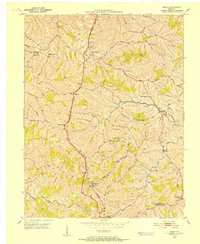
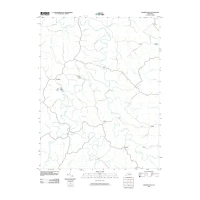
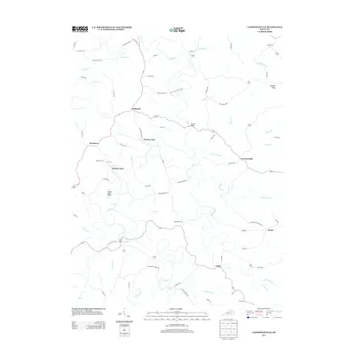
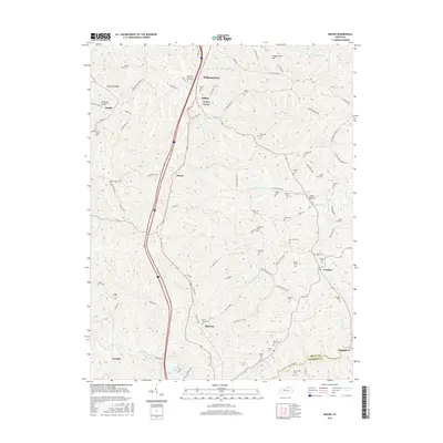
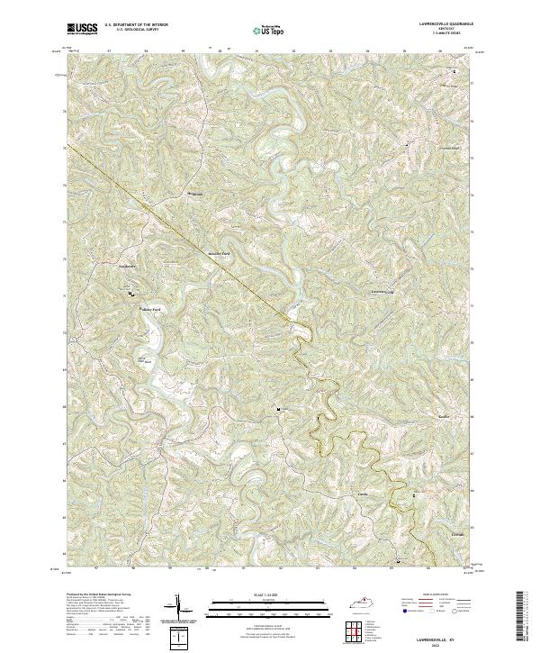
1950 Map of Lawrenceville
USGS Topo · Published 1970About this map
Eagle Creek snakes through the center of this mid-century survey, defining the irregular boundary between Grant and Owen Counties. The landscape is dominated by a dense network of ridges and hollows, where small settlements like Holbrook, Needmore, and Lawrenceville serve as local anchors. Rural life is traced through a high density of community landmarks, including Salem Church, Bethany Church, and Mt Hebron Church. Along the river's winding path, Lusbys Mill and the nearby Lusbys Mill School highlight a traditional water-based economy and social structure. Higher elevations such as Chipman Ridge and Fortner Ridge are traversed by narrow routes like Mitts Road, which connect isolated farmsteads and family burial grounds including the Nix Cemetery and Gaugh Cemetery. The map captures a moment when the topography strictly dictated the patterns of settlement and travel in this part of northern Kentucky.
Find a feature on this map
42 named features on this map. Tap any name to fly to it.
Don’t see what you’re looking for? This feature index may not catch every label — zoom into the map to look around manually.
Map Details
Editions of this 1950 Lawrenceville Map
This is the sole edition of this map. No revisions or reprints were ever made.
Historical Maps of Lawrenceville Through Time
19 maps found
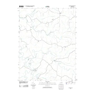
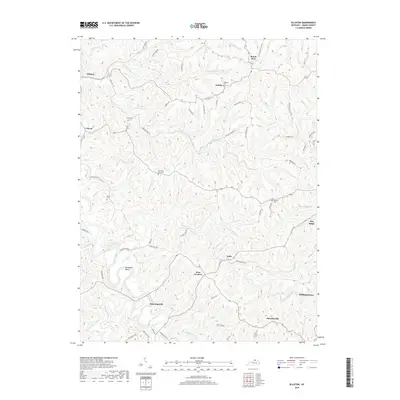
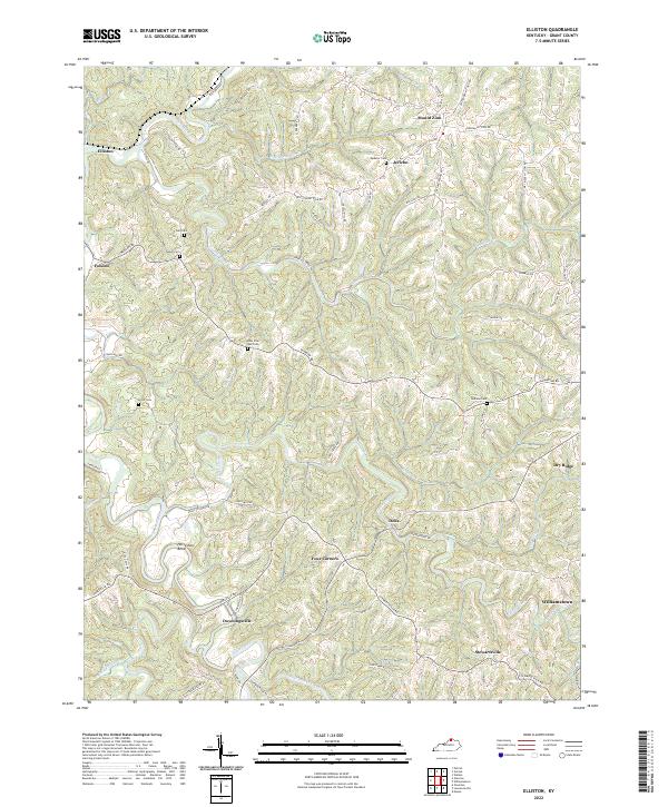
1950 Elliston
Grant County, KY
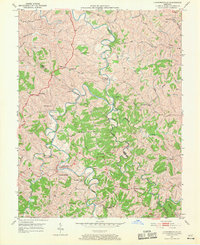
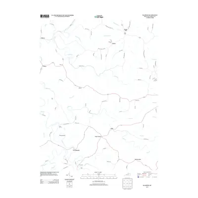
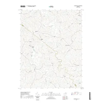
1950 Lawrenceville
Grant County, KY
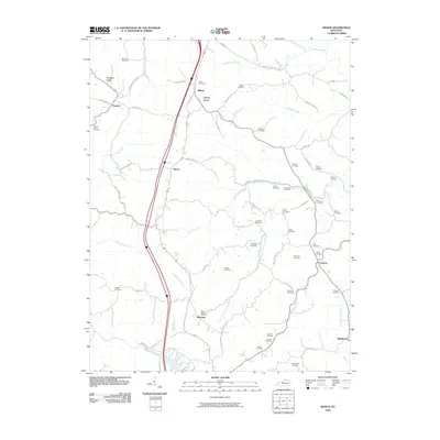
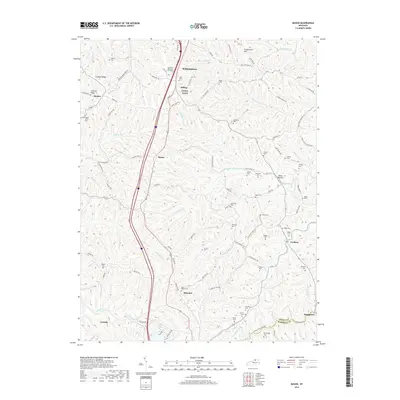
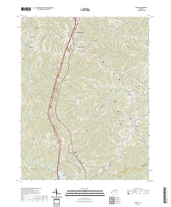
1950 Mason
Grant County, KY
1961 Mason
Grant County, KY
2010 Elliston
Grant County, KY
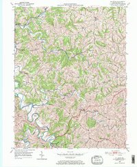
2010 Lawrenceville
Grant County, KY
2010 Mason
Grant County, KY
2013 Elliston
Grant County, KY
2013 Lawrenceville
Grant County, KY
2013 Mason
Grant County, KY
2016 Elliston
Grant County, KY
2016 Lawrenceville
Grant County, KY
2016 Mason
Grant County, KY
2019 Elliston
Grant County, KY
2019 Lawrenceville
Grant County, KY
2019 Mason
Grant County, KY
2022 Elliston
Grant County, KY
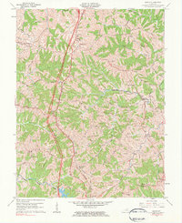
2022 Lawrenceville
Grant County, KY
2022 Mason
Grant County, KY