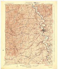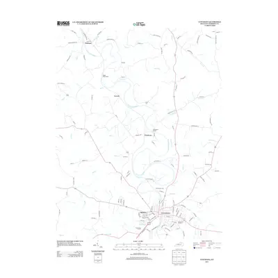
1929 Map of Cynthiana
USGS Topo · Published 1929About this map
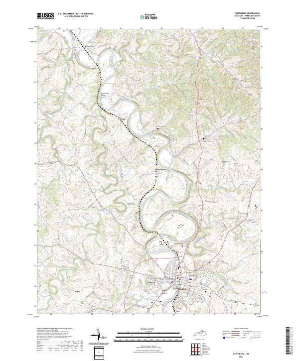
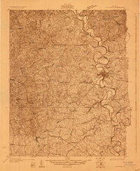
The South Fork Licking River meanders sharply through the heart of Harrison County, anchoring the regional center of Cynthiana. In the late 1920s, this landscape was defined by a dense network of rural schools and churches that served small agrarian communities like Connersville, Leesburg, and Jacksonville. The presence of institutions such as Mt Hope Ch, Keyho Sch, and Broadwell Sch indicates a well-established social fabric, while the Raven Creek Cemetery provides a specific point of interest for genealogists tracking early local families.
Find a feature on this map
67 named features on this map. Tap any name to fly to it.
Don’t see what you’re looking for? This feature index may not catch every label — zoom into the map to look around manually.
Map Details
Editions of this 1929 Cynthiana Map
This is the sole edition of this map. No revisions or reprints were ever made.
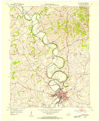
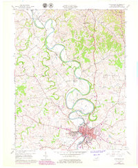
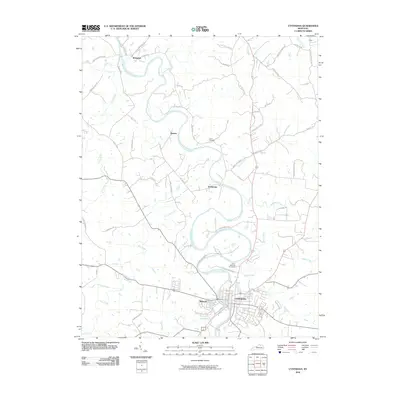
Historical Maps of Cynthiana Through Time
9 maps found