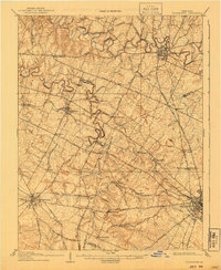
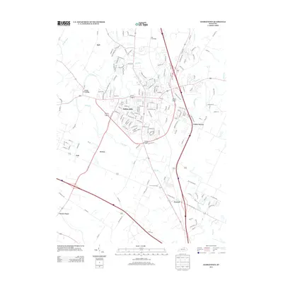
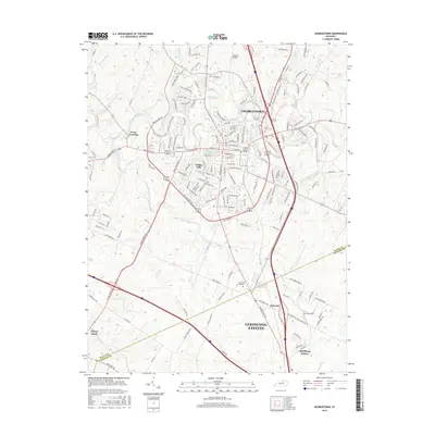
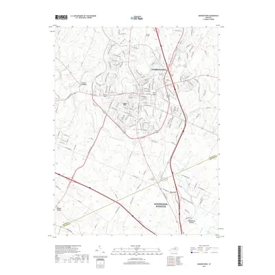
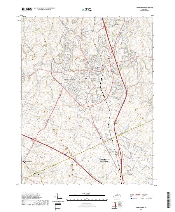
1906 Map of Georgetown
USGS Topo · Published 1954About this map
Georgetown serves as a major hub in this Bluegrass region survey, where the winding path of North Elkhorn Creek dictates the early industrial and agricultural layout. The landscape is defined by its sophisticated early 20th-century transportation network, with the Frankfort and Cincinnati R R and the Cincinnati New Orleans and Texas Pacific R R converging toward the burgeoning centers of Lexington and Versailles. Smaller rail-side settlements like Midway and Paynes Depot illustrate the vital connection between the rural interior and the central markets.
Find a feature on this map
39 named features on this map. Tap any name to fly to it.
Don’t see what you’re looking for? This feature index may not catch every label — zoom into the map to look around manually.
Map Details
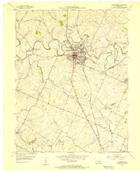
Editions of this 1906 Georgetown Map
This is the sole edition of this map. No revisions or reprints were ever made.
Historical Maps of Lexington Through Time
9 maps found