Old Maps of Ary, Kentucky for Genealogy
Trace your family roots with 13 historic maps of Ary. These high-res maps reveal old neighborhoods, homesites, landmarks, and streets — helping you uncover where your ancestors lived and how the area evolved over time.
- Explore historic neighborhoods: Identify where your relatives may have lived in the 1800s or 1900s.
- Compare maps over time: Trace the changes in streets, buildings, and landmarks for multi-generational research.
- Perfect for genealogy & ancestry research: Used by family historians and researchers to map out lineage and migration.
These maps are an incredible resource for exploring your personal connection to Ary's past.
Ary, KY maps
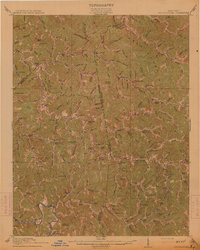
(13)- 1891 Map of Hazard
 1891 Hazard1891 Print · USGSEastern Kentucky's coal country is shown here in the late nineteenth century, focusing on the river-fed valleys of the Cumberland Plateau. Researchers can trace the early layouts of Hazard and Hyden or locate family homesteads near Crockettsville and Dwarf.5 unique versions available
 - 1914 Map of Troublesome
 1914 Troublesome1914 Print · USGSEastern Kentucky's mountain hollows and ridge-top boundaries are captured here during the early 20th century. Genealogists and historians can trace numerous rural educational sites like Balls Fork School and Caney School, or locate small settlements such as Buckhorn and Dwarf.3 unique versions available
 - 1954 Map of Hazard North, 1956 Print
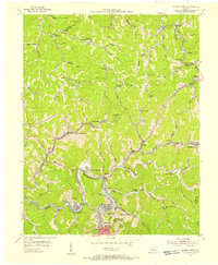 1954 Hazard North1956 Print · USGSThe North Fork Kentucky River valley hums with mid-century rail and mining activity in this survey of the Hazard area. Genealogists and historians can trace the foundations of numerous hollow communities, churches, and schoolhouses like Blue Diamond, Mt Zion Ch, and Hull Sch.2 unique versions available
 - 1957 Map of Jenkins, 1974 Print
 1957 Jenkins1974 Print · USGSThe Cumberland Plateau in the mid-twentieth century reveals a complex landscape of winding river valleys and deep-seated industry. Genealogists and historians can trace the development of Hazard, Jenkins, and Pikeville alongside extensive Numerous Oil and Gas Fields and the routes of the Chesapeake & Ohio Railway.
 - 1960 Map of Jenkins
 1960 Jenkins1960 Print · USGSEastern Kentucky and the West Virginia borderlands are captured at a mid-century peak of the coal and rail era. Trace the industrial corridors of the Chesapeake and Ohio RR through mountain hubs like Hazard and Jenkins.
 - 1972 Map of Hazard North, 1973 Print
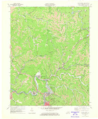 1972 Hazard North1973 Print · USGSThe coal country of Perry County is shown here in the early 1970s, at a time when industrial mining reshaped the landscape. Genealogists can trace family names through numerous remote burial sites and communities like Blue Diamond, Harveyton, and Hardburly.2 unique versions available
 - 1977 Map of Hazard, 1983 Print
 1977 Hazard1983 Print · USGSEastern Kentucky's coal country comes into sharp focus during the late seventies, showing the deep-set river valleys and mountain gaps that shaped regional life. Genealogists can trace family connections through river-bottom settlements like Oneida, Krypton, and Bulan or follow the Seaboard System rail lines.
 - 1992 Map of Hazard North
 1992 Hazard North1992 Print · USGSIn the early 1990s, the hollows and ridge lines north of HAZARD remained defined by the coal industry and mountain settlements. Researchers can trace families and operations through landmarks like Blue Diamond, the L & N RR corridor, and Hunter Memorial Ch.
 - 2010 Map of Hazard North, 2010 Print
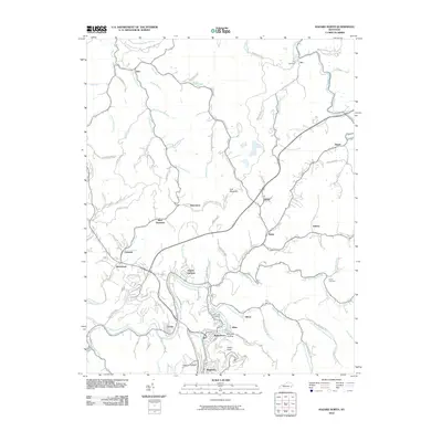 2010 Hazard North2010 Print · USGSCovers Ary, including Hazard, Blue Diamond, and other nearby areas
 - 2013 Map of Hazard North, 2013 Print
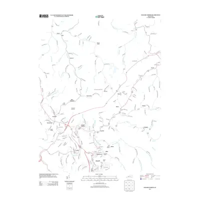 2013 Hazard North2013 Print · USGSCovers Ary, including Hazard, Blue Diamond, and other nearby areas
 - 2016 Map of Hazard North, 2016 Print
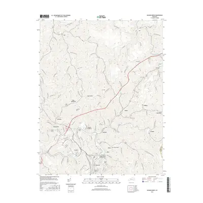 2016 Hazard North2016 Print · USGSCovers Ary, including Hazard, Blue Diamond, and other nearby areas
 - 2019 Map of Hazard North, 2019 Print
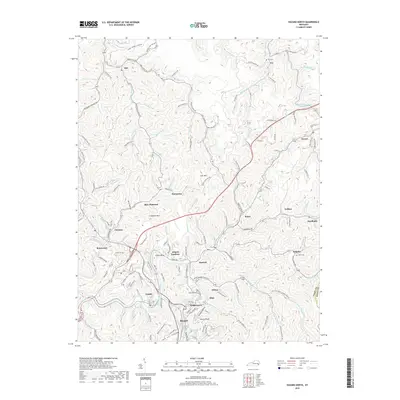 2019 Hazard North2019 Print · USGSCovers Ary, including Hazard, Blue Diamond, and other nearby areas
 - 2022 Map of Hazard North, 2022 Print
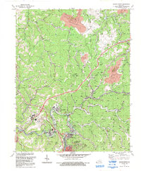
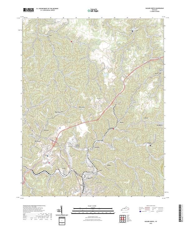 2022 Hazard North2022 Print · USGSThe North Fork Kentucky River valley comes alive in this contemporary study of the coal country around Hazard. Trace local family history and rail routes through Blue Diamond, Hardburly, and the Nobel Cockrell Cemetery.
End of results
Showing maps 1-13 of 13
Top cities near Ary
- Hazard historical maps
- Jackson historical maps
- Hindman historical maps
- Vicco historical maps
- Hyden historical maps
- Blackey historical maps
Frequently asked questions
- What are the different types of historical maps available for Ary?
- What is the oldest map of Ary?
- Where can I purchase historical maps of Ary for my home or office?
- Where can I download high-res historical maps of Ary?
- Are there historical topographic maps available for Ary?
- Is there historical aerial imagery available for Ary?
- Where are historical maps of Ary sourced from?