Old Maps of Buckhorn, Kentucky for Metal Detecting
Plan your next treasure hunt with 13 historic maps of Buckhorn. Find old homesites, ghost towns, trails, and gathering spots that may be lost to time — perfect for identifying promising metal detecting locations.
- Locate forgotten sites: Uncover places like long-lost settlements, abandoned rail lines, or gathering spots.
- Plan better hunts: Use map overlays combined with LiDAR or satellite views to narrow in on historically rich areas.
- Made for detectorists: Thousands of hobbyists use these maps to discover relics, coins, and hidden history.
Use these historic maps to boost your research and find new opportunities beneath the surface of Buckhorn.
Buckhorn, KY maps
(13)- 1891 Map of Hazard
 1891 Hazard1891 Print · USGSEastern Kentucky's coal country is shown here in the late nineteenth century, focusing on the river-fed valleys of the Cumberland Plateau. Researchers can trace the early layouts of Hazard and Hyden or locate family homesteads near Crockettsville and Dwarf.5 unique versions available
 - 1913 Map of Buckhorn
 1913 Buckhorn1913 Print · USGSThe North and Middle Forks of the Kentucky River dominate this pre-WWI landscape of steep ridges and deep valleys. Genealogists can locate family homesteads near Witherspoon College or trace ancestors along the Lexington and Eastern Ry through Chavies and Haddix.2 unique versions available
 - 1953 Map of Buckhorn, 1954 Print
 1953 Buckhorn1954 Print · USGSThe Middle Fork of the Kentucky River winds through Perry and Leslie Counties in the early fifties, connecting isolated mountain communities. Genealogists and historians can locate family landmarks like Witherspoon College, Johnson Church, and several rural schoolhouses including Otter Creek School.
 - 1957 Map of Jenkins, 1974 Print
 1957 Jenkins1974 Print · USGSThe Cumberland Plateau in the mid-twentieth century reveals a complex landscape of winding river valleys and deep-seated industry. Genealogists and historians can trace the development of Hazard, Jenkins, and Pikeville alongside extensive Numerous Oil and Gas Fields and the routes of the Chesapeake & Ohio Railway.
 - 1960 Map of Jenkins
 1960 Jenkins1960 Print · USGSEastern Kentucky and the West Virginia borderlands are captured at a mid-century peak of the coal and rail era. Trace the industrial corridors of the Chesapeake and Ohio RR through mountain hubs like Hazard and Jenkins.
 - 1961 Map of Buckhorn, 1963 Print
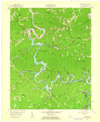 1961 Buckhorn1963 Print · USGSThe hills of Perry and Leslie counties are captured here just after the completion of the Buckhorn Dam and the filling of the reservoir. Genealogists can trace early mountain life through numerous rural schools like Strong Branch Sch and settlements at Bowlingtown and Saul.2 unique versions available
 - 1977 Map of Hazard, 1983 Print
 1977 Hazard1983 Print · USGSEastern Kentucky's coal country comes into sharp focus during the late seventies, showing the deep-set river valleys and mountain gaps that shaped regional life. Genealogists can trace family connections through river-bottom settlements like Oneida, Krypton, and Bulan or follow the Seaboard System rail lines.
 - 1979 Map of Buckhorn
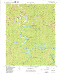 1979 Buckhorn1979 Print · USGSBuckhorn and the Middle Fork Kentucky River valley are captured here in the late seventies as recreational development and coal mining shaped the region. Genealogists and local historians can trace family-named sites such as Deaton Cem, Leatherwood Sch, and Johnson Ch.
 - 2011 Map of Buckhorn, 2011 Print
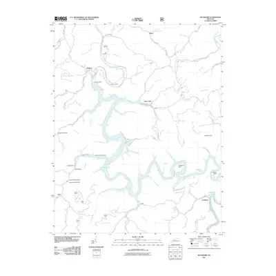 2011 Buckhorn2011 Print · USGSBuckhorn and the Middle Fork Kentucky River are shown here following the modern development of the reservoir system. Researchers can trace family burial grounds like Aims Cemetery or find historic river settlements at Gays Creek and Confluence.
 - 2013 Map of Buckhorn, 2013 Print
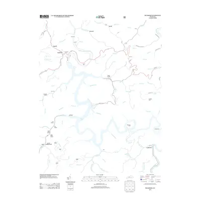 2013 Buckhorn2013 Print · USGSIn the central Kentucky highlands during the early twenty-first century, Buckhorn Lake forms a sprawling reservoir amidst a network of mountain hollows. Family historians can locate established burial sites like Deaton Cem and Johnson Cem near small river settlements including Gays Creek and Confluence.
 - 2016 Map of Buckhorn, 2016 Print
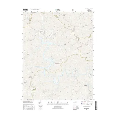 2016 Buckhorn2016 Print · USGSPerry County and the Middle Fork of the Kentucky River are captured in this mid-2010s survey of the mountain highlands. Local historians can trace established settlements like Buckhorn and Confluence alongside historic land features such as Mill Hollow and Langdon Knob.
 - 2019 Map of Buckhorn, 2019 Print
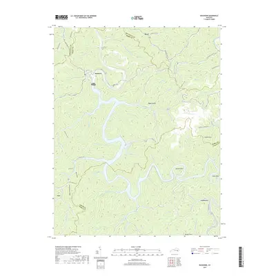 2019 Buckhorn2019 Print · USGSThe Middle Fork Kentucky River winds through Perry County in the late 2010s, anchoring a landscape of deep hollows and narrow ridges. Local historians can trace family roots at Johnson Cem and Deaton Cem or locate the small riverside settlements of Buckhorn and Confluence.
 - 2022 Map of Buckhorn, 2022 Print
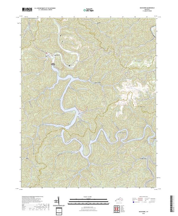 2022 Buckhorn2022 Print · USGSThe Middle Fork of the Kentucky River winds through Perry County in this contemporary study of eastern Kentucky’s ridge-and-hollow terrain. Researchers can identify local burial grounds like Deaton Cem, small communities at Confluence, and landmarks like Courthouse Fort.
End of results
Showing maps 1-13 of 13
Top cities near Buckhorn
Frequently asked questions
- What are the different types of historical maps available for Buckhorn?
- What is the oldest map of Buckhorn?
- Where can I purchase historical maps of Buckhorn for my home or office?
- Where can I download high-res historical maps of Buckhorn?
- Are there historical topographic maps available for Buckhorn?
- Is there historical aerial imagery available for Buckhorn?
- Where are historical maps of Buckhorn sourced from?