Old Maps of Mouthcard, Kentucky
Explore 16 old maps of Mouthcard, spanning from 1886 to today. These high-resolution historic maps reveal how streets, neighborhoods, landmarks, and natural features evolved over time — perfect for genealogy, metal detecting, research, and local history exploration.
What you can do with these maps:
- See how Mouthcard changed over time: Compare historical maps to modern-day views to trace roads, homesites, rail lines & more.
- View detailed metadata: Each map includes creators, publishers, year, scale, and archive source.
- Overlay maps with satellite & LiDAR: Visualize the past alongside modern tools to explore terrain & human change.
- Trusted historical sources: Maps sourced from the USGS, Library of Congress, and other archives.
- Access maps your way: View online, download high-res files, or order prints for personal or research use.
Start exploring old maps of Mouthcard to uncover forgotten places, hidden landmarks, and the deep history beneath your feet.
Mouthcard, KY maps
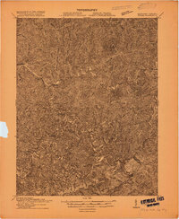
(16)- 1886 Map of Grundy
 1886 Grundy1886 Print · USGSThe Central Appalachian borderlands come alive in the late nineteenth century as small settlements and family outposts take hold in the hollows. Genealogists and historians can locate early communities like Clintwood and Grundy, or trace ancestral lands near Card P.O. and Sand Lick.
 - 1890 Map of Grundy
 1890 Grundy1890 Print · USGSThe Central Appalachian borderlands of Virginia and Kentucky are captured here in the late nineteenth century, showing a landscape of isolated mountain hollows. Genealogists and researchers can trace early settlements and river fords including Grundy, Clintwood, and the crossing at Fish Trap.
 - 1892 Map of Grundy
 1892 Grundy1892 Print · USGSThe Appalachian borderlands of Virginia and Kentucky appear here in the late nineteenth century, mapping the deep hollows and ridges of the coalfield region. Genealogists and historians can locate early settlement nodes like Ervinton, Sand Lick, and Grundy amidst landmarks like Pine Mountain.4 unique versions available
 - 1915 Map of Regina
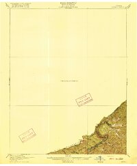
 1915 Regina1915 Print · USGSPike County at the dawn of the coal boom is defined by a dense river-and-rail network along the Levisa Fork. Genealogists and historians can trace old post offices and rail stops like Shelbiana P.O., Mouthcard, and Elkhorn City.2 unique versions available
 - 1916 Map of Regina
 1916 Regina1916 Print · USGSThe Virginia and Kentucky borderlands are captured here in the years before the Great War, focusing on the dramatic river gorge country. Genealogists and hikers can trace the Carolina Clinchfield and Ohio rail route near The Breaks and The Towers.2 unique versions available
 - 1917 Map of Regina
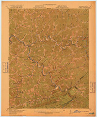 1917 Regina1917 Print · USGSThe Pike County coalfields and the winding Kentucky-Virginia border are captured here just before the close of the Great War. Genealogists can locate family homes and old post offices at Sutton PO, Regina PO, and Carmen PO along the steep hollows.3 unique versions available
 - 1954 Map of Lick Creek, 1955 Print
 1954 Lick Creek1955 Print · USGSEastern Kentucky's narrow hollows and river bends are captured here in the mid-1950s, showing the height of the mountain rail era. Genealogists can locate family landmarks like Cedar Bottom Ch and vanished schools such as Island Creek Sch or Millers Creek Sch.2 unique versions available
 - 1957 Map of Jenkins, 1974 Print
 1957 Jenkins1974 Print · USGSThe Cumberland Plateau in the mid-twentieth century reveals a complex landscape of winding river valleys and deep-seated industry. Genealogists and historians can trace the development of Hazard, Jenkins, and Pikeville alongside extensive Numerous Oil and Gas Fields and the routes of the Chesapeake & Ohio Railway.
 - 1960 Map of Jenkins
 1960 Jenkins1960 Print · USGSEastern Kentucky and the West Virginia borderlands are captured at a mid-century peak of the coal and rail era. Trace the industrial corridors of the Chesapeake and Ohio RR through mountain hubs like Hazard and Jenkins.
 - 1977 Map of Pikeville, 1983 Print
 1977 Pikeville1983 Print · USGSThe Central Appalachian coalfields and the rugged borders of Kentucky and Virginia come into focus during the late seventies. Researchers can trace the rail networks of the C & O and L & N through towns like Jenkins, Whitesburg, and Pikeville.
 - 1978 Map of Lick Creek
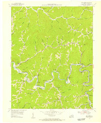
 1978 Lick Creek1978 Print · USGSPike County's coal country comes alive in the late seventies as industrial mining meets the newly formed Fishtrap Lake. Trace the Norfolk and Western rail lines serving Mouthcard and Nigh alongside family landmarks like Flanary Cem.
 - 2010 Map of Lick Creek, 2010 Print
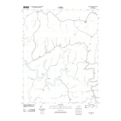 2010 Lick Creek2010 Print · USGSCovers Mouthcard, including Biggs, Nigh, and other nearby areas
 - 2013 Map of Lick Creek, 2013 Print
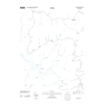 2013 Lick Creek2013 Print · USGSCovers Mouthcard, including Biggs, Nigh, and other nearby areas
 - 2016 Map of Lick Creek, 2016 Print
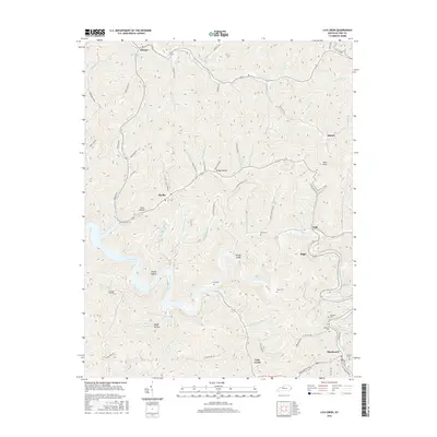 2016 Lick Creek2016 Print · USGSCovers Mouthcard, including Biggs, Nigh, and other nearby areas
 - 2019 Map of Lick Creek, 2019 Print
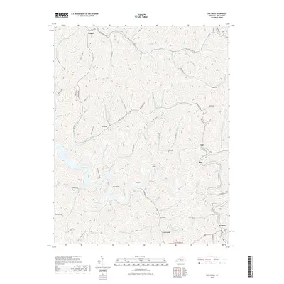 2019 Lick Creek2019 Print · USGSCovers Mouthcard, including Biggs, Nigh, and other nearby areas
 - 2022 Map of Lick Creek, 2022 Print
 2022 Lick Creek2022 Print · USGSPike County's narrow valleys and ridge-top heights are documented here in recent detail, showing the persistent settlement patterns along the Levisa Fork. Genealogists can trace family landmarks like the Childress Cem, Rose Cem, and the community of Lick Creek.
End of results
Showing maps 1-16 of 16
Top cities near Mouthcard
- Pikeville historical maps
- Clintwood historical maps
- Elkhorn City historical maps
- Grundy historical maps
- Haysi historical maps
- Vansant historical maps
See more
Frequently asked questions
- What are the different types of historical maps available for Mouthcard?
- What is the oldest map of Mouthcard?
- Where can I purchase historical maps of Mouthcard for my home or office?
- Where can I download high-res historical maps of Mouthcard?
- Are there historical topographic maps available for Mouthcard?
- Is there historical aerial imagery available for Mouthcard?
- Where are historical maps of Mouthcard sourced from?