Old Maps of Rockcastle County, Kentucky for Hiking & Exploration
Hike through history with 88 historic maps of Rockcastle County. Explore old trails, ghost towns, and forgotten backroads — perfect for outdoor adventurers and local explorers.
- Rediscover forgotten places: Map out old mining camps, roads, and footpaths that no longer exist on modern maps.
- Layer with modern tools: Combine with LiDAR or satellite views to plan hikes through historical terrain.
- Made for exploration: Popular among hikers, overlanders, and local history lovers.
Use these maps to find adventure and explore the hidden past of Rockcastle County.
Rockcastle County, KY maps
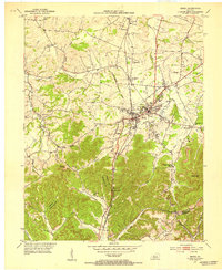
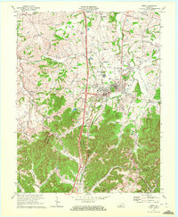
(88)- 1892 Map of Richmond
 1892 Richmond1892 Print · USGSMadison and Clark counties are mapped here in the late nineteenth century, centered on the growing railroad hub of Richmond. Genealogists can trace family land and travel routes through historic crossings like Boonesboro, river towns like Ford, and high points such as Combs Mtn.
 - 1893 Map of London
 1893 London1893 Print · USGSSoutheast Kentucky's plateau country was undergoing a railway-driven transformation in the early 1890s. Genealogists and local historians can trace family roots through numerous small communities like Broadhead, Gum Sulphur, and Altamont along the Louisville and Nashville Railroad.
 - 1897 Map of Richmond
 1897 Richmond1897 Print · USGSMadison and Clark counties are mapped here during a decade of rapid railroad expansion and river-based commerce. Genealogists can trace family names and extinct locales from Boonesboro to the industrial Stone Quarry and the hub at Winchester.5 unique versions available
 - 1897 Map of London
 1897 London1897 Print · USGSThe Kentucky interior near the close of the nineteenth century centers on the vital Louisville and Nashville Railroad corridor. Genealogists can trace early homesteads and rail stops from Mt. Vernon to Bee Lick and Hazlepatch.5 unique versions available
 - 1952 Map of Berea, 1953 Print
 1952 Berea1953 Print · USGSThe college town of Berea and its surrounding hill country are captured here in the early fifties. Genealogists and local historians can trace family-named sites across the ridges, from Wallace Chapel to the Macedonia Ch Abney Cem and Scaffold Cane School.
 - 1952 Map of Billows, 1954 Print
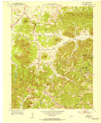
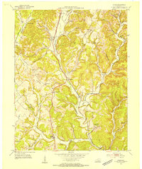
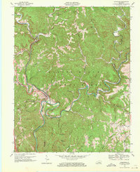
 1952 Billows1954 Print · USGSThe Rockcastle River valley and Cumberland National Forest appear here in the early fifties, showing a rural landscape defined by steep ridges and small settlements. Genealogists can locate family landmarks like Whitaker Cem, several local schools, and the Indian Trail Lookout Tower.3 unique versions available
 - 1952 Map of Bighill, 1954 Print
 1952 Bighill1954 Print · USGSMadison and Jackson counties are captured in the early fifties, showing a rural landscape organized around deep hollows and high knobs. Local historians can trace family locations near New Liberty Ch, Hardin Cem, and vanished schools like Log Cabin Sch.4 unique versions available
 - 1952 Map of Shopville, 1954 Print
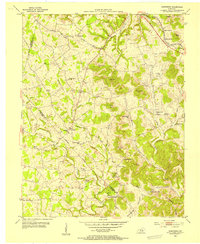
 1952 Shopville1954 Print · USGSPulaski and Rockcastle counties in the early fifties were a network of winding hollows and family-named knobs along Buck Creek. Genealogists and local historians can trace legacy sites like Silver Star Sch, Childress Cem, and the community of Shopville.2 unique versions available
 - 1952 Map of Bernstadt, 1954 Print
 1952 Bernstadt1954 Print · USGSLaurel County at the dawn of the fifties shows a landscape of deep hollows and ridge-top settlements before modern development changed the terrain. Trace local history through the Wilderness Road, the Swiss Colony community, and rural landmarks like Lake View Ch.2 unique versions available
 - 1952 Map of Woodstock, 1954 Print
 1952 Woodstock1954 Print · USGSThe rural uplands of Pulaski and Lincoln counties are captured here in the early fifties, showing a landscape of high knobs and deep hollows. Researchers can trace ancestral locations through numerous country schools and churches like Penobscot Sch and Sweetgum Ch.2 unique versions available
 - 1953 Map of Johnetta, 1954 Print
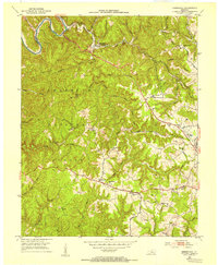
 1953 Johnetta1954 Print · USGSThe Rockcastle and Jackson County border comes alive in this early 1950s record of rural Kentucky life. Researchers can trace the footprints of community institutions like Owen Allen Sch, New Hope Ch, and the high vantage point of New Hope Lookout Tower.4 unique versions available
 - 1953 Map of Maretburg, 1954 Print
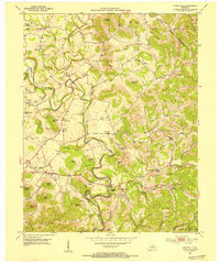
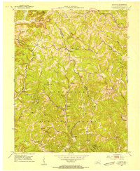
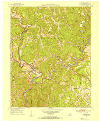
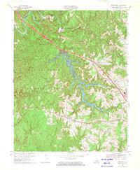
 1953 Maretburg1954 Print · USGSRockcastle County in the early 1950s is a landscape of high knobs and creek-bottom settlements centered on the historic Wilderness Road. Genealogists can locate family landmarks like Sayers Cem, Double Springs, and many rural schoolhouses including Ottawa Sch.3 unique versions available
 - 1953 Map of Wildie, 1954 Print
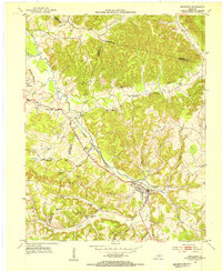
 1953 Wildie1954 Print · USGSThe hills of Rockcastle County come alive in the early fifties, centering on the rail corridor and the communities of Wildie and Renfro Valley. Genealogists can locate family burial sites like Saylor Cem and old schools including Hayes Grove Sch.
 - 1953 Map of Livingston, 1954 Print
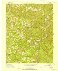
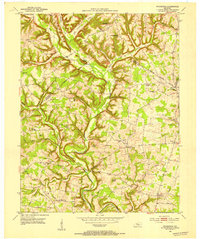
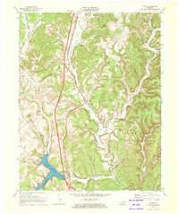
 1953 Livingston1954 Print · USGSThe Rockcastle River valley and Cumberland National Forest appear here during the early fifties, showing a landscape shaped by the Louisville and Nashville railroad. Researchers can trace the historic Wilderness Road past Livingston and locate landmarks like the Camp Wildcat Battle Monument or the Sand Hill Lookout Tower.2 unique versions available
 - 1953 Map of Brodhead, 1954 Print
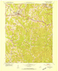
 1953 Brodhead1954 Print · USGSBrodhead and the surrounding Kentucky hills are captured here in the early fifties, showing a landscape shaped by the Louisville and Nashville railroad. You can trace the historic Wilderness Road and locate family landmarks like Watts Chapel, Turkeytown, and the Gum Grove Sch.
 - 1953 Map of Mount Vernon, 1954 Print
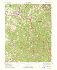
 1953 Mount Vernon1954 Print · USGSMount Vernon and the surrounding Kentucky hills are captured here in the early fifties, showing a landscape defined by the intersection of the historic Wilderness Road and the rail corridor. Researchers can locate numerous local landmarks including Orlando (Brush Creek Sta), Wellhope Sch, and the Flat Rock Cem.2 unique versions available
 - 1957 Map of Winchester, 1968 Print
 1957 Winchester1968 Print · USGSCentral Kentucky's landscape in the mid-twentieth century features the sprawling Fort Knox and the early parkway system. Genealogists and historians can trace rail lines like the Southern Railway and find landmarks from Bernheim Forest to Pilot Knob.3 unique versions available
 - 1960 Map of Winchester
 1960 Winchester1960 Print · USGSCentral Kentucky's diverse landscape is shown here at mid-century, from the bluegrass plains to the rugged Pottsville Escarpment. Genealogists and historians can trace the rail-and-river network connecting towns like Bardstown and Stanford alongside landmarks like Lake Cumberland.
 - 1969 Map of Bernstadt, 1971 Print
 1969 Bernstadt1971 Print · USGSThe Daniel Boone National Forest and the waters of Wood Creek Lake define this Laurel County landscape in the late sixties. Genealogists can trace family roots through hillside sites like Bernstadt, Colony Sch, and Hazel Patch Cem.3 unique versions available
 - 1969 Map of Livingston, 1971 Print
 1969 Livingston1971 Print · USGSThe Rockcastle River corridor in the late sixties shows a landscape where historic transit routes and coal extraction meet. Local historians can trace the Wilderness Road and rail spurs near Livingston, or locate sites like Great Saltpetre Cave and Red Hill Sch.2 unique versions available
 - 1970 Map of Wildie, 1972 Print
 1970 Wildie1972 Print · USGSRockcastle County and the Daniel Boone National Forest come to life in the early seventies, centered on the growing waters of Lake Linville. Trace family history at Saylor Cem or explore early landmarks like Renfro Valley and the Drive-in Theater.
 - 1970 Map of Mount Vernon, 1972 Print
 1970 Mount Vernon1972 Print · USGSMount Vernon and the surrounding Rockcastle County hills are captured here in the early seventies as the interstate era reshaped the landscape. Genealogists can locate family landmarks like Elmwood Cem, Maple Grove Ch, and old rural schools such as McKinney Sch.2 unique versions available
 - 1970 Map of Berea, 1972 Print
 1970 Berea1972 Print · USGSBerea and the surrounding Kentucky hills appear here at the start of the 1970s, showing the intersection of academic, rail, and rural life. Researchers can trace family sites at the Silver Creek Cem, visit Berea College, or follow the Louisville and Nashville through Boone Gap.5 unique versions available
 - 1982 Map of Somerset, 1983 Print
 1982 Somerset1983 Print · USGSThe Lake Cumberland region and the Daniel Boone National Forest appear here in the early eighties. Researchers can trace rural lineages through Broughtontown, Science Hill, and Sinking Valley Church while exploring the rail lines of the Southern Railway.
 - 1986 Map of Harrodsburg
 1986 Harrodsburg1986 Print · USGSCentral Kentucky in the mid-eighties reveals a landscape defined by the winding Kentucky River and the bustling county seats of the Bluegrass. Genealogists and historians can trace the evolution of Harrodsburg, Danville, and Nicholasville alongside the Lexington Blue Grass Army Depot.
Showing maps 1-25 of 88
Top cities of Rockcastle County
Frequently asked questions
- What are the different types of historical maps available for Rockcastle County?
- What is the oldest map of Rockcastle County?
- Where can I purchase historical maps of Rockcastle County for my home or office?
- Where can I download high-res historical maps of Rockcastle County?
- Are there historical topographic maps available for Rockcastle County?
- Is there historical aerial imagery available for Rockcastle County?
- Where are historical maps of Rockcastle County sourced from?