Old Maps of Whittle, Kentucky for Academic Research
Study the evolution of Whittle with 10 high-resolution historic maps. Whether you're teaching, researching, or modeling changes in land use, these maps provide essential visual documentation of urban, environmental, and geographic change.
- Analyze long-term change: Track patterns in development, transportation, and natural features.
- Ideal for environmental or urban studies: Support academic projects with primary historical map data.
- Use in the classroom or lab: Educators and researchers rely on these maps to bring historical context to life.
These maps are a powerful tool for teaching, research, and visualizing how Whittle has changed over the decades.
Whittle, KY maps
(10)- 1954 Map of Eli, 1956 Print
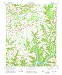
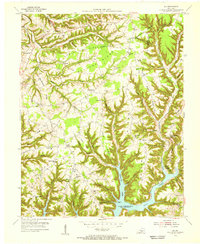 1954 Eli1956 Print · USGSThe Russell County ridge country is captured here in the mid-fifties as the waters of Lake Cumberland filled the deep hollows. Researchers can trace rural life through numerous landmarks like Irvins Store, the Cedar Springs Ch, and Sunshine Sch.2 unique versions available
 - 1957 Map of Winchester, 1968 Print
 1957 Winchester1968 Print · USGSCentral Kentucky's landscape in the mid-twentieth century features the sprawling Fort Knox and the early parkway system. Genealogists and historians can trace rail lines like the Southern Railway and find landmarks from Bernheim Forest to Pilot Knob.3 unique versions available
 - 1960 Map of Winchester
 1960 Winchester1960 Print · USGSCentral Kentucky's diverse landscape is shown here at mid-century, from the bluegrass plains to the rugged Pottsville Escarpment. Genealogists and historians can trace the rail-and-river network connecting towns like Bardstown and Stanford alongside landmarks like Lake Cumberland.
 - 1973 Map of Eli, 1974 Print
 1973 Eli1974 Print · USGSRussell and Pulaski counties are shown here in the early seventies as the region balanced its agrarian roots with modern infrastructure. Genealogists and historians can trace family locations near Irvins Store, Old Friendship Cem, and Locust Grove Ch.
 - 1982 Map of Somerset, 1983 Print
 1982 Somerset1983 Print · USGSThe Lake Cumberland region and the Daniel Boone National Forest appear here in the early eighties. Researchers can trace rural lineages through Broughtontown, Science Hill, and Sinking Valley Church while exploring the rail lines of the Southern Railway.
 - 2010 Map of Eli, 2010 Print
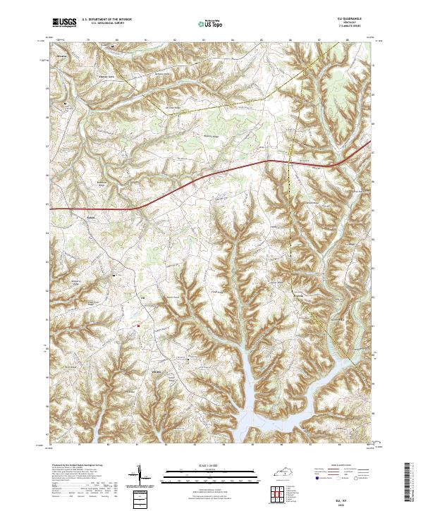
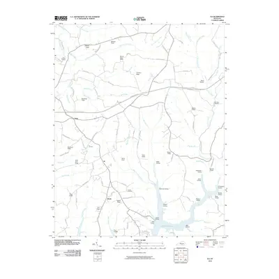 2010 Eli2010 Print · USGSCovers Whittle, including Honey Acre, Catherine, and other nearby areas
 - 2013 Map of Eli, 2013 Print
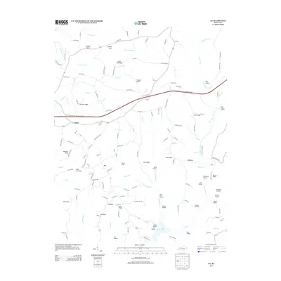 2013 Eli2013 Print · USGSCovers Whittle, including Honey Acre, Catherine, and other nearby areas
 - 2016 Map of Eli, 2016 Print
 2016 Eli2016 Print · USGSCovers Whittle, including Honey Acre, Catherine, and other nearby areas
 - 2019 Map of Eli, 2019 Print
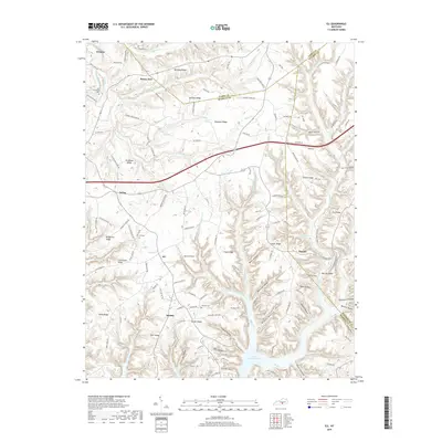 2019 Eli2019 Print · USGSCovers Whittle, including Honey Acre, Catherine, and other nearby areas
 - 2022 Map of Eli, 2022 Print
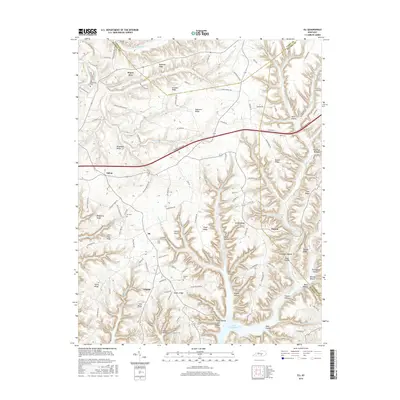
 2022 Eli2022 Print · USGSRussell County's high ridges and the deep inlets of Lake Cumberland are captured here in the early twenty-first century. Genealogists can trace family landmarks and burial sites like Whittle Cem and the Old Friendship Cem among the hollows of Eli and Dorena.
End of results
Showing maps 1-10 of 10
Top cities near Whittle
Frequently asked questions
- What are the different types of historical maps available for Whittle?
- What is the oldest map of Whittle?
- Where can I purchase historical maps of Whittle for my home or office?
- Where can I download high-res historical maps of Whittle?
- Are there historical topographic maps available for Whittle?
- Is there historical aerial imagery available for Whittle?
- Where are historical maps of Whittle sourced from?