Old Maps of Georgetown Oaks, Georgetown for Hiking & Exploration
Hike through history with 12 historic maps of Georgetown Oaks. Explore old trails, ghost towns, and forgotten backroads — perfect for outdoor adventurers and local explorers.
- Rediscover forgotten places: Map out old mining camps, roads, and footpaths that no longer exist on modern maps.
- Layer with modern tools: Combine with LiDAR or satellite views to plan hikes through historical terrain.
- Made for exploration: Popular among hikers, overlanders, and local history lovers.
Use these maps to find adventure and explore the hidden past of Georgetown Oaks.
Georgetown Oaks, Georgetown maps
(12)- 1906 Map of Georgetown, 1954 Print
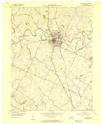
 1906 Georgetown1954 Print · USGSCentral Kentucky at the opening of the twentieth century was a landscape shaped by winding creeks and a dense web of steam rail lines. Local researchers can trace the historic rail corridors of the Southern R R and find early settlements like Paynes Depot and Great Crossing.
 - 1908 Map of Georgetown
 1908 Georgetown1908 Print · USGSCentral Kentucky at the turn of the century reveals a landscape of thriving rail depots and historic turnpikes connecting major county seats. Genealogists and historians can trace the early footprints of Midway, Donerail, and Great Crossing along the winding North Elkhorn Creek.2 unique versions available
 - 1954 Map of Georgetown, 1955 Print
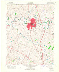
 1954 Georgetown1955 Print · USGSScott County enters the mid-fifties as a hub of education and transport centered on the crossing of major rail lines and the winding Elkhorn Creek. Researchers can trace the grounds of Georgetown College, locate Paynes Depot, or find rural landmarks like Bethel Ch and Cardome Academy.
 - 1956 Map of Louisville, 1971 Print
 1956 Louisville1971 Print · USGSThe Ohio River valley and the Kentucky Bluegrass are captured here during a period of rapid mid-century growth and industrial activity. Genealogists and historians can trace rail-centered towns and military land use at Fort Knox and the Jefferson Proving Ground.2 unique versions available
 - 1964 Map of Louisville
 1964 Louisville1964 Print · USGSThe Ohio River valley and Kentucky Bluegrass are captured in the mid-1960s, showing a region balanced between industrial growth and its agrarian roots. Genealogists and historians can trace the development of county seats like Shelbyville and Paris, or locate established institutions such as Georgetown College and Bernheim Forest.
 - 1965 Map of Georgetown, 1966 Print
 1965 Georgetown1966 Print · USGSGeorgetown and northern Fayette County appear here in the mid-sixties, a landscape of rolling hills and historic crossroads before the interstate era took full hold. Researchers can trace local roots through Georgetown College, the Maple Grove Cem, and old stops like Paynes Depot.4 unique versions available
 - 1986 Map of Lexington
 1986 Lexington1986 Print · USGSCentral Kentucky’s Bluegrass region is captured in the mid-eighties as urban centers like Lexington and Frankfort expand alongside deep-rooted rural hubs. Researchers can trace historic rail lines like the Southern Railway and find landmarks such as the Lexington Blue Grass Army Depot and Tacketts Mill.
 - 2010 Map of Georgetown, 2010 Print
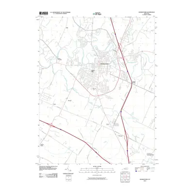 2010 Georgetown2010 Print · USGSCovers Georgetown Oaks, including Lexington, Georgetown, and other nearby areas
 - 2013 Map of Georgetown, 2013 Print
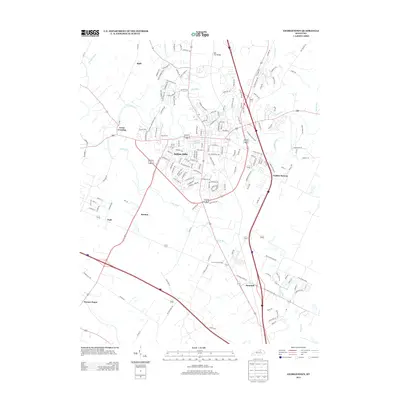 2013 Georgetown2013 Print · USGSCovers Georgetown Oaks, including Lexington, Georgetown, and other nearby areas
 - 2016 Map of Georgetown, 2016 Print
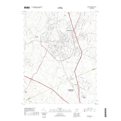
 2016 Georgetown2016 Print · USGSCovers Georgetown Oaks, including Lexington, Georgetown, and other nearby areas
 - 2019 Map of Georgetown, 2019 Print
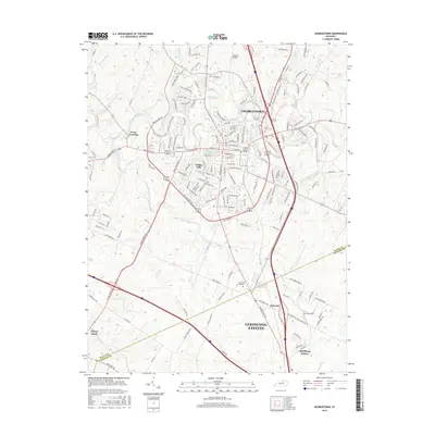
 2019 Georgetown2019 Print · USGSCovers Georgetown Oaks, including Lexington, Georgetown, and other nearby areas
 - 2022 Map of Georgetown, 2022 Print
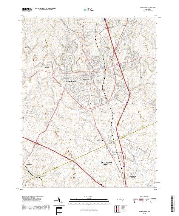 2022 Georgetown2022 Print · USGSGeorgetown and the rolling Scott County countryside appear in the early 2020s, showing a blend of academic tradition and modern growth. Trace local heritage at Georgetown College, the historic Great Crossing settlement, and cemeteries like Maple Grove Cem.
End of results
Showing maps 1-12 of 12
Frequently asked questions
- What are the different types of historical maps available for Georgetown Oaks?
- What is the oldest map of Georgetown Oaks?
- Where can I purchase historical maps of Georgetown Oaks for my home or office?
- Where can I download high-res historical maps of Georgetown Oaks?
- Are there historical topographic maps available for Georgetown Oaks?
- Is there historical aerial imagery available for Georgetown Oaks?
- Where are historical maps of Georgetown Oaks sourced from?