Old Maps of Neosheo, Kentucky
Explore 10 old maps of Neosheo, spanning from 1942 to today. These high-resolution historic maps reveal how streets, neighborhoods, landmarks, and natural features evolved over time — perfect for genealogy, metal detecting, research, and local history exploration.
What you can do with these maps:
- See how Neosheo changed over time: Compare historical maps to modern-day views to trace roads, homesites, rail lines & more.
- View detailed metadata: Each map includes creators, publishers, year, scale, and archive source.
- Overlay maps with satellite & LiDAR: Visualize the past alongside modern tools to explore terrain & human change.
- Trusted historical sources: Maps sourced from the USGS, Library of Congress, and other archives.
- Access maps your way: View online, download high-res files, or order prints for personal or research use.
Start exploring old maps of Neosheo to uncover forgotten places, hidden landmarks, and the deep history beneath your feet.
Neosheo, KY maps
(10)- 1942 Map of Gallatin
 1942 Gallatin1942 Print · USGSThe Tennessee-Kentucky borderlands were a crossroads of river and rail during the early war years. Genealogists and historians can trace family roots through dozens of named settlements like Bethpage, Prices Mill, and Mitchellville, or locate historic river crossings such as Kirkpatricks Ferry.
 - 1951 Map of Prices Mill, 1952 Print
 1951 Prices Mill1952 Print · USGSThe Kentucky-Tennessee state line divides this 1950s farming landscape where the river and local mills defined rural commerce. Genealogists can locate family landmarks and community centers such as Prices Mill, White Hill Ch, and the Red River Sch.2 unique versions available
 - 1956 Map of Nashville, 1971 Print
 1956 Nashville1971 Print · USGSThe Tennessee-Kentucky borderlands come into focus in the mid-1960s as major reservoir projects transformed the Cumberland and Tennessee river valleys. Researchers can trace the rail networks of the Louisville and Nashville and visit sites like Fort Campbell and Fort Donelson National Military Park.2 unique versions available
 - 1959 Map of Nashville
 1959 Nashville1959 Print · USGSMiddle Tennessee and Southern Kentucky come into focus during the late fifties, showing the region's transition into a modern transportation and military hub. Researchers can trace the sprawling Fort Campbell Military Reservation or locate historic rail stops along the Tennessee Central Ry and Illinois Central RR.
 - 1985 Map of Bowling Green
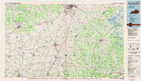 1985 Bowling Green1985 Print · USGSThe rolling borderlands of Kentucky and Tennessee are captured here in the mid-eighties, showing a landscape shaped by the Barren River and deep-rooted rail networks. Genealogists and researchers can trace local landmarks like Prices Mill, Highland Academy, and Green Lawn Cem.3 unique versions available
 - 2010 Map of Prices Mill, 2010 Print
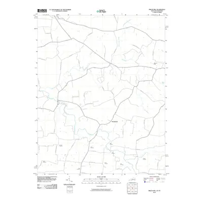 2010 Prices Mill2010 Print · USGSAgricultural life along the Kentucky-Tennessee border is documented here in the first decade of the new millennium. Genealogists can trace family heritage through numerous burial sites like Rose and Stringer or follow the waters of the Red River.
 - 2013 Map of Prices Mill, 2013 Print
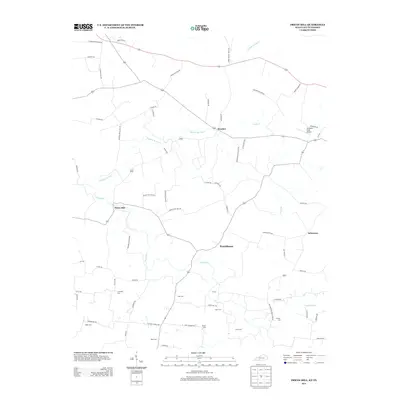 2013 Prices Mill2013 Print · USGSThe Kentucky and Tennessee borderlands come into focus during the early twenty-first century, showing a landscape defined by small river valleys and agricultural history. Genealogists can trace family heritage through numerous burial sites like Campbell Cem and Babb Cem near Prices Mill.
 - 2016 Map of Prices Mill, 2016 Print
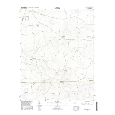 2016 Prices Mill2016 Print · USGSThe Kentucky and Tennessee borderlands come into focus in the mid-2010s, showing a rural landscape defined by the Red River and ancient family holdings. Genealogists can trace deep roots through numerous small burial sites like Campbell Cem, Babb Cem, and Doss Cem.
 - 2019 Map of Prices Mill, 2019 Print
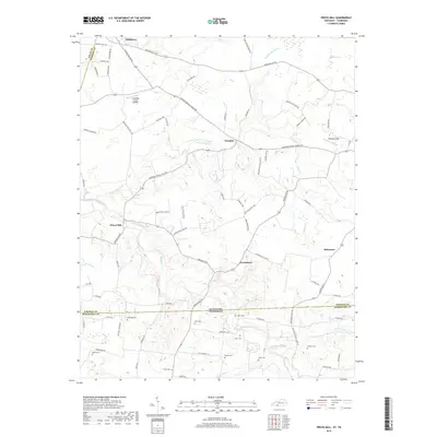 2019 Prices Mill2019 Print · USGSCrossing the Kentucky and Tennessee border in the late 2010s, this area shows a landscape of river-valley farms and small rural settlements. Genealogists can locate several family burial sites including Doss Cem and West Cem near the riverbanks of the Red River.
 - 2022 Map of Prices Mill, 2022 Print
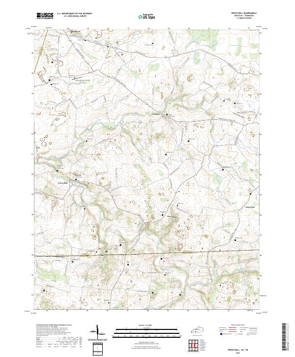 2022 Prices Mill2022 Print · USGSSpanning the Kentucky and Tennessee border in the early 2020s, this area preserves a deep-rooted agricultural landscape. Genealogists and local historians can trace family locations through dozens of sites like Prices Mill, Robey Swamp, and the White Hill Baptist Church Cem.
End of results
Showing maps 1-10 of 10
Top cities near Neosheo
- Bowling Green historical maps
- Springfield historical maps
- White House historical maps
- Portland historical maps
- Franklin historical maps
- Russellville historical maps
See more
Frequently asked questions
- What are the different types of historical maps available for Neosheo?
- What is the oldest map of Neosheo?
- Where can I purchase historical maps of Neosheo for my home or office?
- Where can I download high-res historical maps of Neosheo?
- Are there historical topographic maps available for Neosheo?
- Is there historical aerial imagery available for Neosheo?
- Where are historical maps of Neosheo sourced from?