Old Maps of Cadiz, Kentucky for Genealogy
Trace your family roots with 32 historic maps of Cadiz. These high-res maps reveal old neighborhoods, homesites, landmarks, and streets — helping you uncover where your ancestors lived and how the area evolved over time.
- Explore historic neighborhoods: Identify where your relatives may have lived in the 1800s or 1900s.
- Compare maps over time: Trace the changes in streets, buildings, and landmarks for multi-generational research.
- Perfect for genealogy & ancestry research: Used by family historians and researchers to map out lineage and migration.
These maps are an incredible resource for exploring your personal connection to Cadiz's past.
Cadiz, KY maps
(32)- 1950 Map of Caledonia, 1965 Print
 1950 Caledonia1965 Print · USGSTrigg and Christian Counties are captured in the mid-twentieth century as a landscape of rural schoolhouses, family cemeteries, and karst springs. Researchers can trace the heritage of Caledonia and Julien through landmarks like Binns Mill, Averitt Sch, and Locust Grove Ch.
 - 1951 Map of Caledonia
 1951 Caledonia1951 Print · USGSThe rural borderlands of Trigg and Christian counties are documented here in the early fifties, showing a landscape of sinkhole springs and small crossroads. Genealogists can locate family landmarks like Binns Mill, Locust Grove Ch, and the Old Presbyterian Cem.
 - 1953 Map of Gracey, 1954 Print
 1953 Gracey1954 Print · USGSChristian and Trigg counties appear here in the early fifties, during a period of steady rail-side growth and established farm life. Genealogists and historians can trace family roots through sites like Cerulean Springs, Montgomery Ch, and Roach Cem.
 - 1953 Map of Cobb, 1954 Print
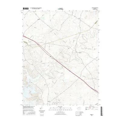
 1953 Cobb1954 Print · USGSSettled farmland along the border of Trigg and Caldwell counties is captured here in the early fifties. Genealogists and historians can trace families via the numerous rural burial grounds like Merrick Cem and churches such as Mt Zion Ch.
 - 1953 Map of Cadiz, 1955 Print
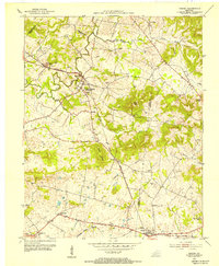
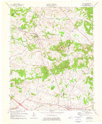
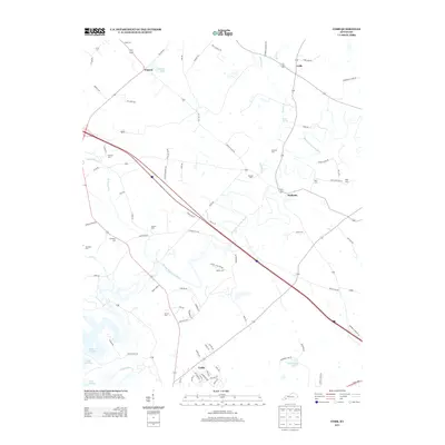
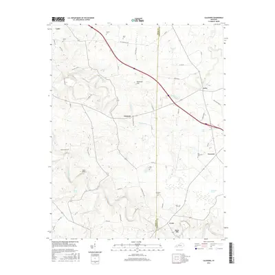
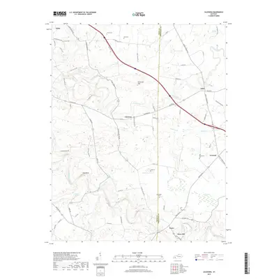
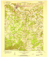 1953 Cadiz1955 Print · USGSTrigg County's river-driven geography is on full display during the early fifties, centering on the town of Cadiz. Genealogists and historians can trace family roots at Oak Grove Sch or locate numerous ancestral plots including Miller Cem and Wallace Cem.
 - 1956 Map of Nashville, 1971 Print
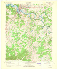
 1956 Nashville1971 Print · USGSThe Tennessee-Kentucky borderlands come into focus in the mid-1960s as major reservoir projects transformed the Cumberland and Tennessee river valleys. Researchers can trace the rail networks of the Louisville and Nashville and visit sites like Fort Campbell and Fort Donelson National Military Park.2 unique versions available
 - 1959 Map of Nashville
 1959 Nashville1959 Print · USGSMiddle Tennessee and Southern Kentucky come into focus during the late fifties, showing the region's transition into a modern transportation and military hub. Researchers can trace the sprawling Fort Campbell Military Reservation or locate historic rail stops along the Tennessee Central Ry and Illinois Central RR.
 - 1967 Map of Cadiz, 1968 Print
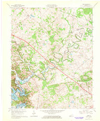
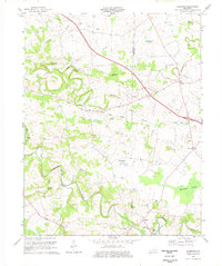
 1967 Cadiz1968 Print · USGSCadiz and the surrounding Trigg County countryside are captured here in the late sixties as the region adjusted to the creation of Lake Barkley. Researchers can locate rural landmarks like the McUpton Sch, trace the path of the Cadiz RR, and find family-named sites such as Bedford Spring.2 unique versions available
 - 1967 Map of Cobb, 1968 Print
 1967 Cobb1968 Print · USGSTrigg and Caldwell counties are shown in the late sixties as the newly formed Lake Barkley began to reshape the river valley. Genealogists can trace local roots through numerous family landmarks like Hanberry Cem, Wallonia, and Blue Spring Ch.2 unique versions available
 - 1974 Map of Gracey, 1976 Print
 1974 Gracey1976 Print · USGSAcross the rolling borderlands of Trigg and Christian counties in the mid-1970s, this survey documents a network of small rail-side settlements and rural family cemeteries. Genealogists can locate family landmarks such as Ladd Cem and Montgomery Ch alongside the Illinois Central Gulf tracks.
 - 1974 Map of Caledonia, 1977 Print
 1974 Caledonia1977 Print · USGSTrigg and Christian counties in the mid-1970s reveal a landscape of rural hamlets and family farmsteads along the Little River. Genealogists can trace family names at the Old Presbyterian Cem and Bacon Cem, or locate historic sites like Binns Mill.2 unique versions available
 - 1980 Map of Hopkinsville, 1983 Print
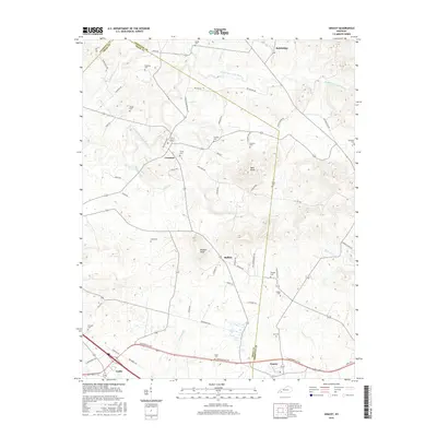
 1980 Hopkinsville1983 Print · USGSThe Kentucky and Tennessee borderlands appear here at the start of the 1980s, centered on the massive Fort Campbell Military Reservation. Trace the impact of the Cumberland River impoundment at Lake Barkley or locate rail hubs like Guthrie and Elkton.
 - 2010 Map of Cadiz, 2010 Print
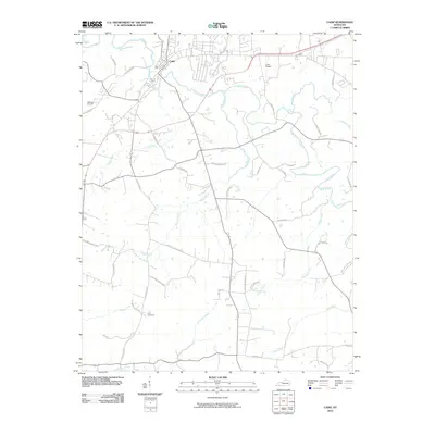 2010 Cadiz2010 Print · USGSCovers Cadiz, including Trigg County, United States, and other nearby areas
 - 2010 Map of Cobb, 2010 Print
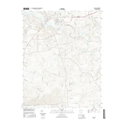
 2010 Cobb2010 Print · USGSCovers Cadiz, including Hopson, Wallonia, and other nearby areas
 - 2010 Map of Gracey, 2010 Print
 2010 Gracey2010 Print · USGSCovers Cadiz, including Bainbridge, Montgomery, and other nearby areas
 - 2010 Map of Caledonia, 2010 Print
 2010 Caledonia2010 Print · USGSCovers Cadiz, including Binns Mill, Julien, and other nearby areas
 - 2013 Map of Gracey, 2013 Print
 2013 Gracey2013 Print · USGSCovers Cadiz, including Bainbridge, Montgomery, and other nearby areas
 - 2013 Map of Caledonia, 2013 Print
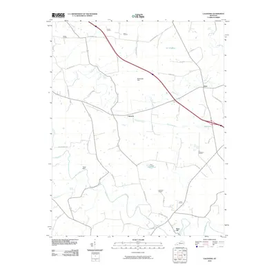
 2013 Caledonia2013 Print · USGSCovers Cadiz, including Binns Mill, Julien, and other nearby areas
 - 2013 Map of Cobb, 2013 Print
 2013 Cobb2013 Print · USGSCovers Cadiz, including Hopson, Wallonia, and other nearby areas
 - 2013 Map of Cadiz, 2013 Print
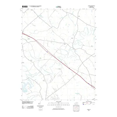
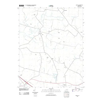
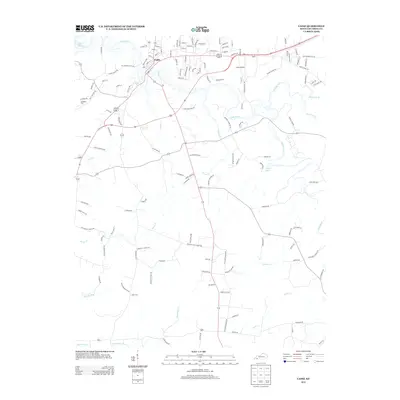 2013 Cadiz2013 Print · USGSCovers Cadiz, including Trigg County, United States, and other nearby areas
 - 2016 Map of Cadiz, 2016 Print
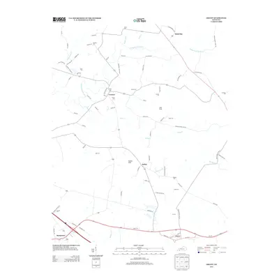
 2016 Cadiz2016 Print · USGSCovers Cadiz, including Trigg County, United States, and other nearby areas
 - 2016 Map of Gracey, 2016 Print
 2016 Gracey2016 Print · USGSCovers Cadiz, including Bainbridge, Montgomery, and other nearby areas
 - 2016 Map of Caledonia, 2016 Print
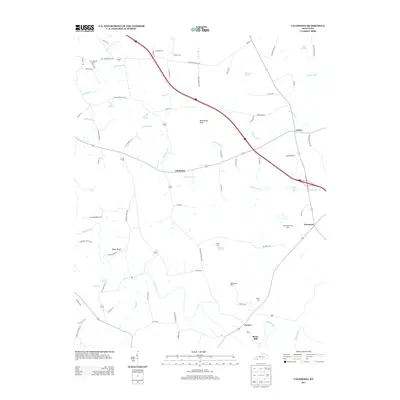
 2016 Caledonia2016 Print · USGSCovers Cadiz, including Binns Mill, Julien, and other nearby areas
 - 2016 Map of Cobb, 2016 Print
 2016 Cobb2016 Print · USGSCovers Cadiz, including Hopson, Wallonia, and other nearby areas
 - 2019 Map of Caledonia, 2019 Print
 2019 Caledonia2019 Print · USGSCovers Cadiz, including Binns Mill, Julien, and other nearby areas
Showing maps 1-25 of 32
Top cities near Cadiz
Top neighborhoods of Cadiz
Frequently asked questions
- What are the different types of historical maps available for Cadiz?
- What is the oldest map of Cadiz?
- Where can I purchase historical maps of Cadiz for my home or office?
- Where can I download high-res historical maps of Cadiz?
- Are there historical topographic maps available for Cadiz?
- Is there historical aerial imagery available for Cadiz?
- Where are historical maps of Cadiz sourced from?