Old Maps of Booker, Kentucky for Academic Research
Study the evolution of Booker with 10 high-resolution historic maps. Whether you're teaching, researching, or modeling changes in land use, these maps provide essential visual documentation of urban, environmental, and geographic change.
- Analyze long-term change: Track patterns in development, transportation, and natural features.
- Ideal for environmental or urban studies: Support academic projects with primary historical map data.
- Use in the classroom or lab: Educators and researchers rely on these maps to bring historical context to life.
These maps are a powerful tool for teaching, research, and visualizing how Booker has changed over the decades.
Booker, KY maps
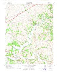
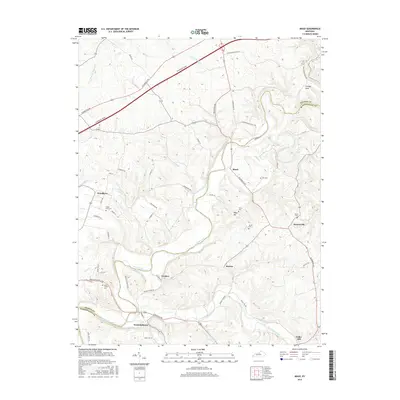
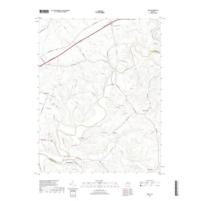
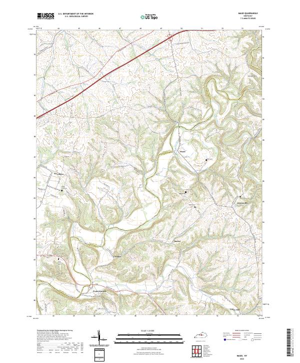
(10)- 1953 Map of Maud, 1954 Print
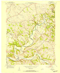 1953 Maud1954 Print · USGSWashington and Nelson Counties come to life in the early 1950s as a landscape of winding river forks and tight-knit farming communities. Genealogists can locate family burial sites like Poplar Flats Cem and landmarks such as the Maud Consolidated Sch or Fredericktown.2 unique versions available
 - 1957 Map of Winchester, 1968 Print
 1957 Winchester1968 Print · USGSCentral Kentucky's landscape in the mid-twentieth century features the sprawling Fort Knox and the early parkway system. Genealogists and historians can trace rail lines like the Southern Railway and find landmarks from Bernheim Forest to Pilot Knob.3 unique versions available
 - 1960 Map of Winchester
 1960 Winchester1960 Print · USGSCentral Kentucky's diverse landscape is shown here at mid-century, from the bluegrass plains to the rugged Pottsville Escarpment. Genealogists and historians can trace the rail-and-river network connecting towns like Bardstown and Stanford alongside landmarks like Lake Cumberland.
 - 1972 Map of Maud, 1973 Print
 1972 Maud1973 Print · USGSWashington and Nelson Counties are shown in the early seventies as the Blue Grass Parkway intersects the older river-oriented landscape. Genealogists and local historians can trace the Covered Bridge on the Beech Fork and find sites like Fredericktown and Holy Trinity Cem.2 unique versions available
 - 1981 Map of Elizabethtown, 1983 Print
 1981 Elizabethtown1983 Print · USGSCentral Kentucky in the early eighties shows a landscape of military installations, state parks, and historic sites. Genealogists and historians can trace rail lines like the Louisville and Nashville or locate sites like Lebanon National Cemetery and the Lincoln Memorial National Historic Site.
 - 2010 Map of Maud, 2010 Print
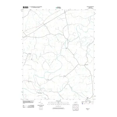 2010 Maud2010 Print · USGSCovers Booker, including Woodlawn, Maud, and other nearby areas
 - 2013 Map of Maud, 2013 Print
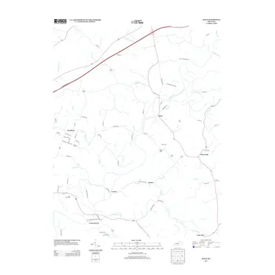 2013 Maud2013 Print · USGSCovers Booker, including Woodlawn, Maud, and other nearby areas
 - 2016 Map of Maud, 2016 Print
 2016 Maud2016 Print · USGSCovers Booker, including Woodlawn, Maud, and other nearby areas
 - 2019 Map of Maud, 2019 Print
 2019 Maud2019 Print · USGSCovers Booker, including Woodlawn, Maud, and other nearby areas
 - 2022 Map of Maud, 2022 Print
 2022 Maud2022 Print · USGSRural Washington and Nelson counties come into focus in this contemporary survey of the Kentucky interior. Researchers can trace ancestral footprints at Holy Trinity Cem or explore the settled crossroads of Fredericktown, Mooresville, and Woodlawn.
End of results
Showing maps 1-10 of 10
Top cities near Booker
- Louisville historical maps
- Bardstown historical maps
- Lebanon historical maps
- Springfield historical maps
- Bloomfield historical maps
- Loretto historical maps
See more
Frequently asked questions
- What are the different types of historical maps available for Booker?
- What is the oldest map of Booker?
- Where can I purchase historical maps of Booker for my home or office?
- Where can I download high-res historical maps of Booker?
- Are there historical topographic maps available for Booker?
- Is there historical aerial imagery available for Booker?
- Where are historical maps of Booker sourced from?