Old Maps of Monticello, Kentucky for Metal Detecting
Plan your next treasure hunt with 19 historic maps of Monticello. Find old homesites, ghost towns, trails, and gathering spots that may be lost to time — perfect for identifying promising metal detecting locations.
- Locate forgotten sites: Uncover places like long-lost settlements, abandoned rail lines, or gathering spots.
- Plan better hunts: Use map overlays combined with LiDAR or satellite views to narrow in on historically rich areas.
- Made for detectorists: Thousands of hobbyists use these maps to discover relics, coins, and hidden history.
Use these historic maps to boost your research and find new opportunities beneath the surface of Monticello.
Monticello, KY maps
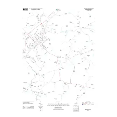
(19)- 1911 Map of Monticello, 1952 Print
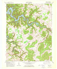
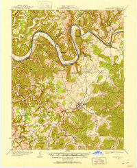 1911 Monticello1952 Print · USGSWayne County and the southern loops of the Cumberland River are captured here in the early twentieth century before modern reservoirs changed the valley. Genealogists can locate dozens of country schools and churches, from Old Glory School to Union Church, alongside river landings like Rankin Landing.2 unique versions available
 - 1914 Map of Monticello
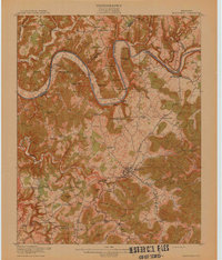 1914 Monticello1914 Print · USGSWayne County life in the early twentieth century centered on the Cumberland River and the crossroads at Monticello. Genealogists and historians can trace numerous rural institutions like Old Glory School, Union Church, and the Ramsey Branch Stop PO.4 unique versions available
 - 1953 Map of Parnell, 1955 Print
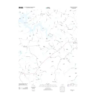
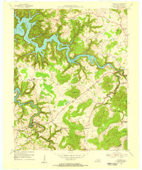 1953 Parnell1955 Print · USGSWayne County is captured here in the early fifties, just as the controlled inundation of Lake Cumberland began altering the traditional valley geography. Family researchers can locate long-standing community centers like the Old Glory Sch, Parnell Ch, and the rural settlement at Zula.2 unique versions available
 - 1953 Map of Monticello, 1955 Print
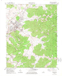
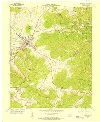 1953 Monticello1955 Print · USGSThe Wayne County seat and its surrounding hollows are captured here in the early fifties as a landscape of valley farms and upland ridges. Genealogists can locate family landmarks like Elk Spring Cemetery and the many rural schools including Travis Sch and Missouri Sch.2 unique versions available
 - 1956 Map of Corbin, 1966 Print
 1956 Corbin1966 Print · USGSThe Kentucky and Tennessee borderlands are captured here in the mid-fifties, showing the region's shift toward modern interstate travel and reservoir development. Genealogists and historians can trace old community lines near Albany and Monticello or locate early rail junctions along the Southern and Tennessee Central lines.3 unique versions available
 - 1958 Map of Corbin
 1958 Corbin1958 Print · USGSThe Upper Cumberland borderlands appear in the late 1950s as massive reservoirs and early atomic-era growth reshape the region. Trace family roots and vanished landmarks near Lake Cumberland, Oak Ridge, and the Cumberland National Forest.
 - 1977 Map of Monticello
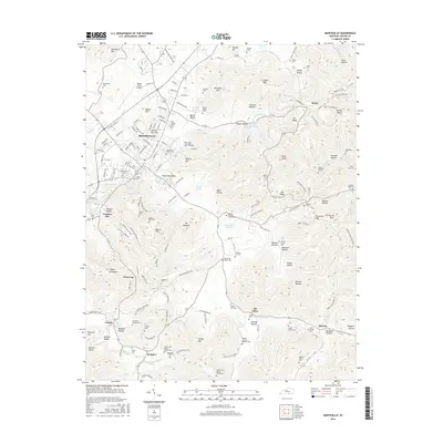
 1977 Monticello1977 Print · USGSMonticello and the surrounding Wayne County uplands are captured here in the late seventies. Genealogists can locate family burial sites at Elk Spring Cem and Sandusky Cem, or trace early community life around Sumpter Chapel and Oil Valley.
 - 1978 Map of Parnell, 1979 Print
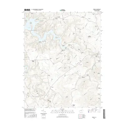
 1978 Parnell1979 Print · USGSWayne County's rugged ridges and river valleys are captured here in the late seventies as the region balanced rural tradition with its growing reservoir shoreline. Trace old family sites and crossroads near Parnell, Bethesda, and the local Oil Wells that dotted the landscape.
 - 1981 Map of Corbin, 1984 Print
 1981 Corbin1984 Print · USGSThe Kentucky and Tennessee borderlands in the early eighties were characterized by coal towns and deep mountain ridges. Trace family history or rail routes through Stearns, Williamsburg, and the mining settlements near Jellico Mountain along the L & N RR.
 - 2010 Map of Parnell, 2010 Print
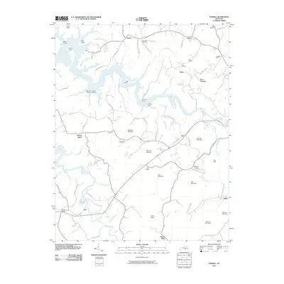 2010 Parnell2010 Print · USGSCovers Monticello, including Short Mountain, Murl, and other nearby areas
 - 2010 Map of Monticello, 2010 Print
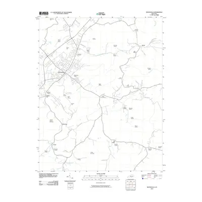 2010 Monticello2010 Print · USGSCovers Monticello, including Cooper, Wray Gap, and other nearby areas
 - 2013 Map of Monticello, 2013 Print
 2013 Monticello2013 Print · USGSCovers Monticello, including Cooper, Wray Gap, and other nearby areas
 - 2013 Map of Parnell, 2013 Print
 2013 Parnell2013 Print · USGSCovers Monticello, including Short Mountain, Murl, and other nearby areas
 - 2016 Map of Monticello, 2016 Print
 2016 Monticello2016 Print · USGSCovers Monticello, including Cooper, Wray Gap, and other nearby areas
 - 2016 Map of Parnell, 2016 Print
 2016 Parnell2016 Print · USGSCovers Monticello, including Short Mountain, Murl, and other nearby areas
 - 2019 Map of Monticello, 2019 Print
 2019 Monticello2019 Print · USGSCovers Monticello, including Cooper, Wray Gap, and other nearby areas
 - 2019 Map of Parnell, 2019 Print
 2019 Parnell2019 Print · USGSCovers Monticello, including Short Mountain, Murl, and other nearby areas
 - 2022 Map of Monticello, 2022 Print
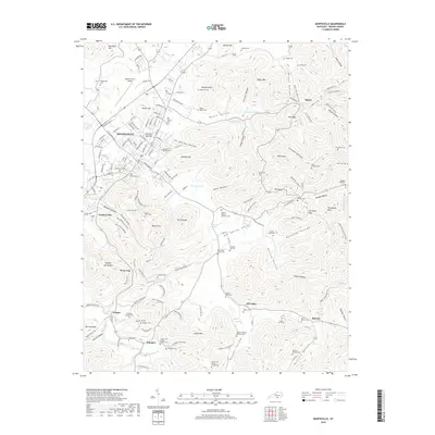
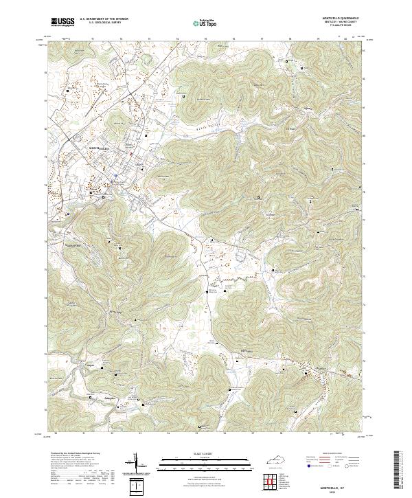 2022 Monticello2022 Print · USGSMonticello and the Kentucky highlands of Wayne County are shown here in detail during the early twenty-first century. Genealogists and local historians can trace hundreds of family sites, from the Ingram Family Plot to the Collum and Selena Coffey Cem and the Frisbie Cem.
 - 2022 Map of Parnell, 2022 Print
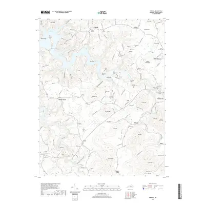
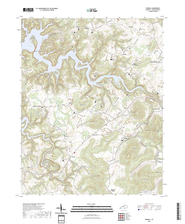 2022 Parnell2022 Print · USGSWayne County, Kentucky, is defined here by the winding shoreline of Lake Cumberland and the high ridges of the Cumberland Plateau. Researchers can trace ancestral roots through numerous family burial grounds like Alley Cem and Lucy Shearer Cem or explore the rural settlements of Parnell and Susie.
End of results
Showing maps 1-19 of 19
Top cities near Monticello
Frequently asked questions
- What are the different types of historical maps available for Monticello?
- What is the oldest map of Monticello?
- Where can I purchase historical maps of Monticello for my home or office?
- Where can I download high-res historical maps of Monticello?
- Are there historical topographic maps available for Monticello?
- Is there historical aerial imagery available for Monticello?
- Where are historical maps of Monticello sourced from?