Old Maps of Williamsburg, Kentucky
Explore 19 old maps of Williamsburg, spanning from 1890 to today. These high-resolution historic maps reveal how streets, neighborhoods, landmarks, and natural features evolved over time — perfect for genealogy, metal detecting, research, and local history exploration.
What you can do with these maps:
- See how Williamsburg changed over time: Compare historical maps to modern-day views to trace roads, homesites, rail lines & more.
- View detailed metadata: Each map includes creators, publishers, year, scale, and archive source.
- Overlay maps with satellite & LiDAR: Visualize the past alongside modern tools to explore terrain & human change.
- Trusted historical sources: Maps sourced from the USGS, Library of Congress, and other archives.
- Access maps your way: View online, download high-res files, or order prints for personal or research use.
Start exploring old maps of Williamsburg to uncover forgotten places, hidden landmarks, and the deep history beneath your feet.
Williamsburg, KY maps
(19)- 1890 Map of Williamsburg
 1890 Williamsburg1890 Print · USGSThe Kentucky and Tennessee borderlands come alive in the late nineteenth century as the coal industry and railroads expand. Genealogists can trace family roots in Williamsburgh or locate early industrial sites like Beaver Mines and Steels Mill.2 unique versions available
 - 1894 Map of Williamsburg
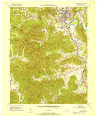
 1894 Williamsburg1894 Print · USGSThe Cumberland River valley and the Kentucky-Tennessee borderlands are captured here during the late nineteenth-century coal and rail expansion. Researchers can trace early industrial sites like Beaver Mines and Kensee Coal Mine or locate family roots in Whitley and Chitwood.5 unique versions available
 - 1952 Map of Wofford, 1953 Print
 1952 Wofford1953 Print · USGSWhitley County in the early fifties shows a landscape of deep river bends and rural communities along the Louisville and Nashville rail line. Genealogists can trace family footprints through numerous small landmarks like White Oak Ch, Canada Sch, and Shiner Sch.
 - 1952 Map of Williamsburg, 1954 Print
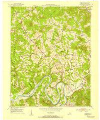
 1952 Williamsburg1954 Print · USGSWhitley County's river-and-rail landscape is captured here in the early fifties, centered on the Williamsburg bend. Trace the legacy of rural coal and community through numerous strip mines, the Shelly Knob Lookout Tower, and local landmarks like Cumberland College.
 - 1956 Map of Corbin, 1966 Print
 1956 Corbin1966 Print · USGSThe Kentucky and Tennessee borderlands are captured here in the mid-fifties, showing the region's shift toward modern interstate travel and reservoir development. Genealogists and historians can trace old community lines near Albany and Monticello or locate early rail junctions along the Southern and Tennessee Central lines.3 unique versions available
 - 1958 Map of Corbin
 1958 Corbin1958 Print · USGSThe Upper Cumberland borderlands appear in the late 1950s as massive reservoirs and early atomic-era growth reshape the region. Trace family roots and vanished landmarks near Lake Cumberland, Oak Ridge, and the Cumberland National Forest.
 - 1969 Map of Williamsburg, 1972 Print
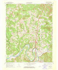
 1969 Williamsburg1972 Print · USGSWhitley County at the end of the sixties reveals a transition from traditional coal-and-rail towns to modern highway development. Genealogists can locate family names at Highland Cemetery and trace historical communities like Emlyn and Savoy along the Louisville and Nashville line.2 unique versions available
 - 1969 Map of Wofford, 1972 Print
 1969 Wofford1972 Print · USGSWhitley County's river-bottom lands and coal-country hills are shown here in the late sixties as modern infrastructure arrived. Genealogists can locate family burial sites at Ryan Cem and Steely Cem or trace the early days of the Gatliff State Fish Hatchery.3 unique versions available
 - 1981 Map of Corbin, 1984 Print
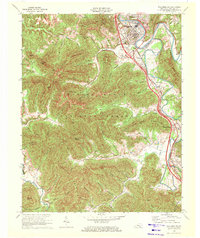
 1981 Corbin1984 Print · USGSThe Kentucky and Tennessee borderlands in the early eighties were characterized by coal towns and deep mountain ridges. Trace family history or rail routes through Stearns, Williamsburg, and the mining settlements near Jellico Mountain along the L & N RR.
 - 2010 Map of Williamsburg, 2010 Print
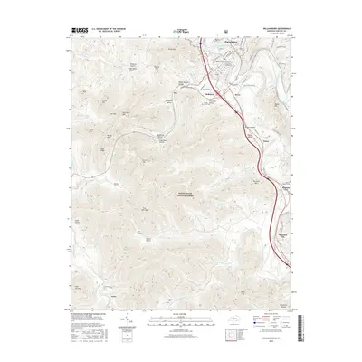
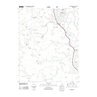 2010 Williamsburg2010 Print · USGSCovers Williamsburg, including Jellico Creek, Ayers, and other nearby areas
 - 2010 Map of Wofford, 2010 Print
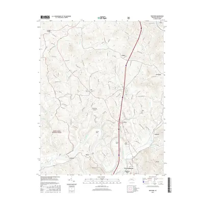
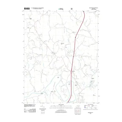 2010 Wofford2010 Print · USGSCovers Williamsburg, including Faber, Clio, and other nearby areas
 - 2013 Map of Wofford, 2013 Print
 2013 Wofford2013 Print · USGSCovers Williamsburg, including Faber, Clio, and other nearby areas
 - 2013 Map of Williamsburg, 2013 Print
 2013 Williamsburg2013 Print · USGSCovers Williamsburg, including Jellico Creek, Ayers, and other nearby areas
 - 2016 Map of Williamsburg, 2016 Print
 2016 Williamsburg2016 Print · USGSCovers Williamsburg, including Jellico Creek, Ayers, and other nearby areas
 - 2016 Map of Wofford, 2016 Print
 2016 Wofford2016 Print · USGSCovers Williamsburg, including Faber, Clio, and other nearby areas
 - 2019 Map of Williamsburg, 2019 Print
 2019 Williamsburg2019 Print · USGSCovers Williamsburg, including Jellico Creek, Ayers, and other nearby areas
 - 2019 Map of Wofford, 2019 Print
 2019 Wofford2019 Print · USGSCovers Williamsburg, including Faber, Clio, and other nearby areas
 - 2022 Map of Wofford, 2022 Print
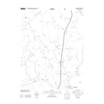
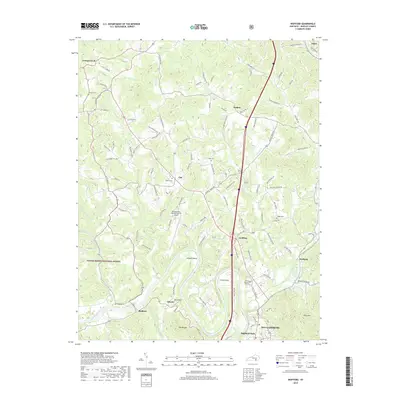
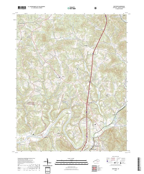 2022 Wofford2022 Print · USGSWhitley County, Kentucky, is shown here as it appeared in the early 2020s, defined by the winding Cumberland River and the rural hills north of Williamsburg. Researchers can locate several historical sites, including Youngs Chapel, Old Shiner School, and the hilltop Sutton Cem.
 - 2022 Map of Williamsburg, 2022 Print
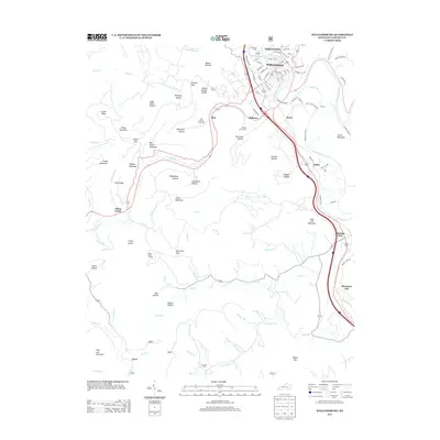
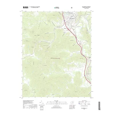
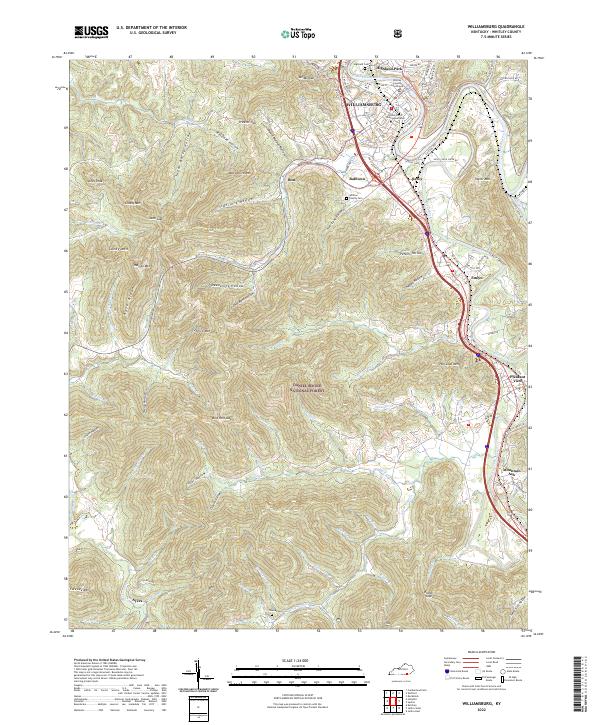 2022 Williamsburg2022 Print · USGSWhitley County's river-carved landscape and the growth of its county seat are captured in this recent survey. Genealogists can trace the Whitley County Cem, the University of the Cumberlands, and old settlements like Mountain Ash and Ayers.
End of results
Showing maps 1-19 of 19
Top cities near Williamsburg
Top neighborhoods of Williamsburg
Frequently asked questions
- What are the different types of historical maps available for Williamsburg?
- What is the oldest map of Williamsburg?
- Where can I purchase historical maps of Williamsburg for my home or office?
- Where can I download high-res historical maps of Williamsburg?
- Are there historical topographic maps available for Williamsburg?
- Is there historical aerial imagery available for Williamsburg?
- Where are historical maps of Williamsburg sourced from?