2000s (21st Century) Maps of Glencairn, Kentucky
Explore 5 historic maps of Glencairn from the 2000s (21st Century). These maps offer a rare glimpse into what life looked like during the 2000s — showing old roads, neighborhoods, homes, and landmarks that have changed or disappeared over time.
Whether you're researching your family's past, planning a metal detecting trip, or studying how Glencairn's landscape evolved across the 2000s, these high-resolution maps are a powerful tool for exploring the history of this region.
- Focus on a specific era: All maps on this page are from the 2000s, giving you a focused view of this time period.
- See what’s changed: Compare century-old streets, trails, and buildings to today's modern landscape using overlays and satellite layers.
- Research with precision: Use these maps for genealogy, historical research, land use analysis, or educational projects.
- View, download, or print: Maps are fully viewable online in high resolution, and can be downloaded or printed for your own records.
Start exploring Glencairn's history through authentic maps from the 2000s. This is your window into the past.
Glencairn, KY maps
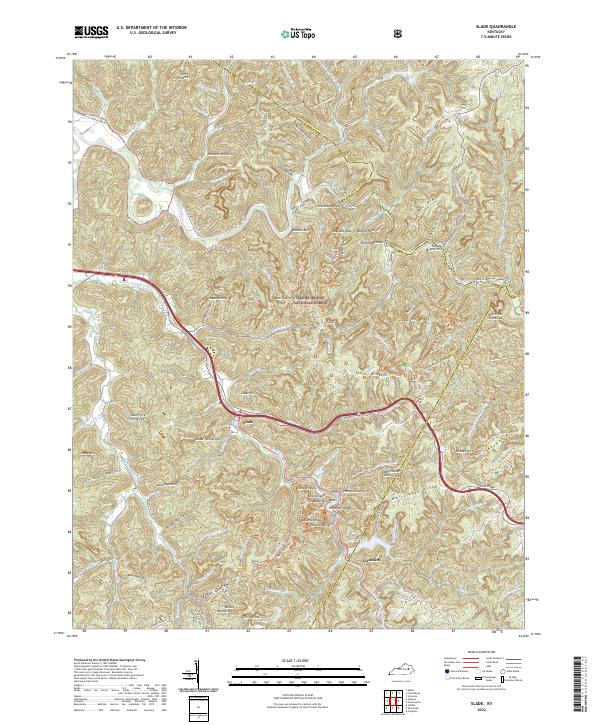
(5)- 2011 Map of Slade, 2011 Print
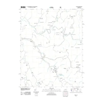 2011 Slade2011 Print · USGSCovers Glencairn, including Moreland, Nada Lombard Post Office, and other nearby areas
 - 2013 Map of Slade, 2013 Print
 2013 Slade2013 Print · USGSCovers Glencairn, including Moreland, Nada Lombard Post Office, and other nearby areas
 - 2016 Map of Slade, 2016 Print
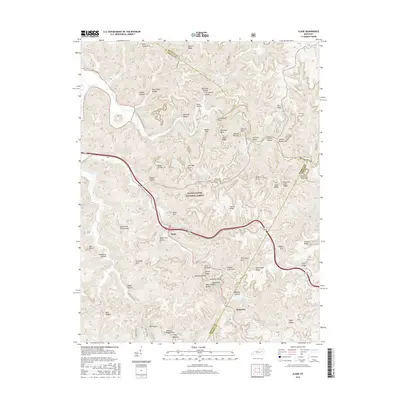 2016 Slade2016 Print · USGSCovers Glencairn, including Moreland, Nada Lombard Post Office, and other nearby areas
 - 2019 Map of Slade, 2019 Print
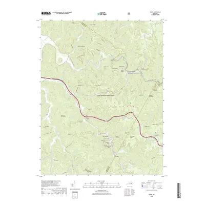 2019 Slade2019 Print · USGSCovers Glencairn, including Moreland, Nada Lombard Post Office, and other nearby areas
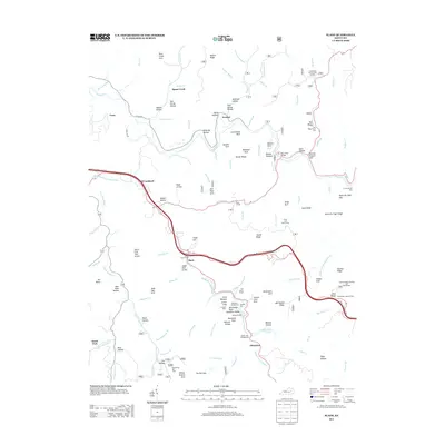
 - 2022 Map of Slade, 2022 Print
 2022 Slade2022 Print · USGSThe Red River Gorge comes into sharp focus during the 2020s, showing the intersection of Daniel Boone National Forest and the community of Slade. Outdoor researchers and geologists can trace numerous stone features like Double Arch, Ravens Window, and the Nada Arches.
End of results
Showing maps 1-5 of 5
Top cities near Glencairn
- Stanton historical maps
- Jeffersonville historical maps
- Beattyville historical maps
- Camargo historical maps
- Frenchburg historical maps
- Campton historical maps
See more
Frequently asked questions
- What are the different types of historical maps available for Glencairn?
- What is the oldest map of Glencairn?
- Where can I purchase historical maps of Glencairn for my home or office?
- Where can I download high-res historical maps of Glencairn?
- Are there historical topographic maps available for Glencairn?
- Is there historical aerial imagery available for Glencairn?
- Where are historical maps of Glencairn sourced from?