Old Maps of Pine Ridge, Kentucky for Metal Detecting
Plan your next treasure hunt with 11 historic maps of Pine Ridge. Find old homesites, ghost towns, trails, and gathering spots that may be lost to time — perfect for identifying promising metal detecting locations.
- Locate forgotten sites: Uncover places like long-lost settlements, abandoned rail lines, or gathering spots.
- Plan better hunts: Use map overlays combined with LiDAR or satellite views to narrow in on historically rich areas.
- Made for detectorists: Thousands of hobbyists use these maps to discover relics, coins, and hidden history.
Use these historic maps to boost your research and find new opportunities beneath the surface of Pine Ridge.
Pine Ridge, KY maps
(11)- 1892 Map of Beattyville
 1892 Beattyville1892 Print · USGSThe Kentucky River and its headwaters define this late nineteenth-century survey of the rugged Cumberland Plateau. Researchers can trace the early industrial sites of Estill Furnace and Fitchburg Furnace alongside the path of the Kentucky Union Railroad.6 unique versions available
 - 1951 Map of Pomeroyton, 1953 Print
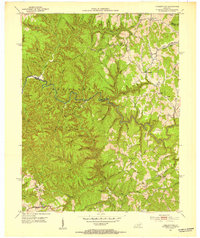 1951 Pomeroyton1953 Print · USGSThe winding Red River corridor defines this 1950s look at Wolfe County, Kentucky. Genealogists and local historians can locate early homesteads and trace rural life around the settlements of Pomeroyton and Valeria.2 unique versions available
 - 1957 Map of Jenkins, 1974 Print
 1957 Jenkins1974 Print · USGSThe Cumberland Plateau in the mid-twentieth century reveals a complex landscape of winding river valleys and deep-seated industry. Genealogists and historians can trace the development of Hazard, Jenkins, and Pikeville alongside extensive Numerous Oil and Gas Fields and the routes of the Chesapeake & Ohio Railway.
 - 1960 Map of Jenkins
 1960 Jenkins1960 Print · USGSEastern Kentucky and the West Virginia borderlands are captured at a mid-century peak of the coal and rail era. Trace the industrial corridors of the Chesapeake and Ohio RR through mountain hubs like Hazard and Jenkins.
 - 1966 Map of Pomeroyton, 1968 Print
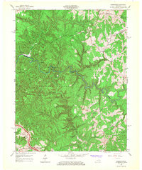 1966 Pomeroyton1968 Print · USGSThe Red River Gorge area comes to life in the mid-sixties, highlighting the rugged settlement patterns of Wolfe and Menifee Counties. Trace local landmarks like the Dessie Scott Childrens Home, Calaboose Sch, and geological wonders from Sky Bridge to Tower Rock.4 unique versions available
 - 1982 Map of Irvine, 1983 Print
 1982 Irvine1983 Print · USGSEastern Kentucky's hill country is mapped here in the early eighties, showcasing the complex river valleys and ridge-top settlements of the Cumberland Plateau. Researchers can trace historic rail lines like the Louisville & Nashville RR or locate rural communities such as Beattyville and Slade.
 - 2011 Map of Pomeroyton, 2011 Print
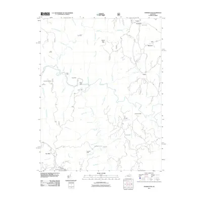 2011 Pomeroyton2011 Print · USGSCovers Pine Ridge, including Calaboose, Valeria, and other nearby areas
 - 2013 Map of Pomeroyton, 2013 Print
 2013 Pomeroyton2013 Print · USGSCovers Pine Ridge, including Calaboose, Valeria, and other nearby areas
 - 2016 Map of Pomeroyton, 2016 Print
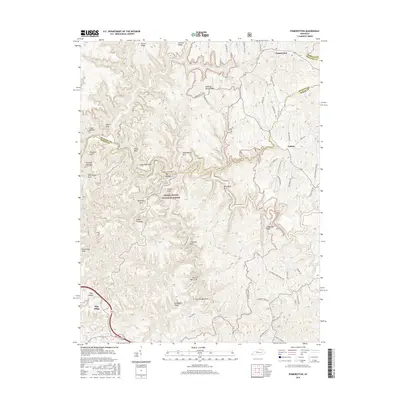 2016 Pomeroyton2016 Print · USGSCovers Pine Ridge, including Calaboose, Valeria, and other nearby areas
 - 2019 Map of Pomeroyton, 2019 Print
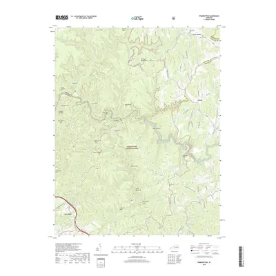 2019 Pomeroyton2019 Print · USGSCovers Pine Ridge, including Calaboose, Valeria, and other nearby areas
 - 2022 Map of Pomeroyton, 2022 Print
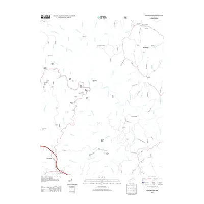
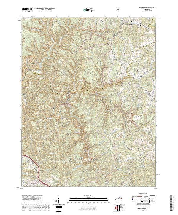 2022 Pomeroyton2022 Print · USGSThe northern edge of the Daniel Boone National Forest comes into sharp focus here in the early twenty-first century. Researchers can locate family roots at Pomeroyton Cem or trace landmarks like Cloud Splitter, Sky Bridge, and Rock Bridge Arch.
End of results
Showing maps 1-11 of 11
Top cities near Pine Ridge
- Stanton historical maps
- Jackson historical maps
- Jeffersonville historical maps
- Beattyville historical maps
- Frenchburg historical maps
- Campton historical maps
See more
Frequently asked questions
- What are the different types of historical maps available for Pine Ridge?
- What is the oldest map of Pine Ridge?
- Where can I purchase historical maps of Pine Ridge for my home or office?
- Where can I download high-res historical maps of Pine Ridge?
- Are there historical topographic maps available for Pine Ridge?
- Is there historical aerial imagery available for Pine Ridge?
- Where are historical maps of Pine Ridge sourced from?