Old Maps of Big Bend, Louisiana for Academic Research
Study the evolution of Big Bend with 13 high-resolution historic maps. Whether you're teaching, researching, or modeling changes in land use, these maps provide essential visual documentation of urban, environmental, and geographic change.
- Analyze long-term change: Track patterns in development, transportation, and natural features.
- Ideal for environmental or urban studies: Support academic projects with primary historical map data.
- Use in the classroom or lab: Educators and researchers rely on these maps to bring historical context to life.
These maps are a powerful tool for teaching, research, and visualizing how Big Bend has changed over the decades.
Big Bend, LA maps
(13)- 1941 Map of Voorhies, 1943 Print
 1941 Voorhies1943 Print · USGSAvoyelles Parish is captured here in the early 1940s, showcasing a river-bound landscape shaped by the Red River and its many oxbows. Genealogists can trace family roots through numerous landmarks like St James Ch & Cem, Voorhies School, and Moreauville.2 unique versions available
 - 1953 Map of Natchez, 1966 Print
 1953 Natchez1966 Print · USGSSouthwest Mississippi and the Louisiana border country come alive in this mid-century survey of the river valley and forest lands. Researchers can trace the rail lines of the Illinois Central RR and locate rural hubs like Gloster and Ferriday.3 unique versions available
 - 1956 Map of Natchez
 1956 Natchez1956 Print · USGSThe Mississippi River borderlands and the Pine Hills come alive in this mid-fifties study of the Natchez region. Genealogists and historians can trace rail-era towns along the Illinois Central RR and explore the oxbows of Lake Bruin and Lake Concordia.
 - 1959 Map of Natchez
 1959 Natchez1959 Print · USGSSouthwestern Mississippi and eastern Louisiana are captured in the late fifties, showing a landscape defined by the winding Mississippi River and the timbered Homochitto National Forest. Researchers can trace the sprawling Illinois Central RR and find rural landmarks like Union Church and Camp Van Dorn (Abandoned).
 - 1962 Map of Moreauville, 1963 Print
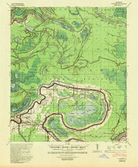
 1962 Moreauville1963 Print · USGSAvoyelles Parish in the early sixties reveals a landscape of river meanders and bayou settlements shaped by the Atchafalaya. Researchers can trace rural life through landmarks like St Mark Ch, the Kansas City Southern line, and Bordelonville.2 unique versions available
 - 1982 Map of Big Bend
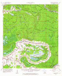
 1982 Big Bend1982 Print · USGSAvoyelles Parish near the turn of the 1980s is captured here as a landscape of deep bayous and river floodways. Genealogists can locate family landmarks such as Old Morning Star Ch, Pilgrim Ch, and the winding banks of Bayou des Glaises.
 - 1984 Map of Woodville
 1984 Woodville1984 Print · USGSThe Mississippi-Louisiana borderlands in the mid-eighties show a landscape defined by the shifting MISSISSIPPI RIVER and sprawling timberlands. Researchers can trace the ILLINOIS CENTRAL GULF railroad through Gloster or locate historic river points like Fort Adams and Point Breeze.
 - 1991 Map of Woodville
 1991 Woodville1991 Print · USGSWilkinson County and the Louisiana borderlands appear here in the early nineties, where the bluffs meet the Mississippi River floodplain. Trace the sites of old river landings and rural outposts like Fort Adams, Pinckneyville, and the remote Larto Lake community.
 - 2012 Map of Big Bend, 2012 Print
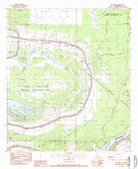
 2012 Big Bend2012 Print · USGSCovers Big Bend, including Red Fish, Avoyelles Parish, and other nearby areas
 - 2015 Map of Big Bend, 2015 Print
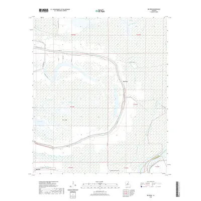
 2015 Big Bend2015 Print · USGSCovers Big Bend, including Red Fish, Avoyelles Parish, and other nearby areas
 - 2018 Map of Big Bend, 2018 Print
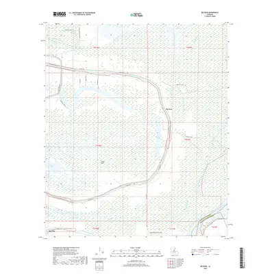 2018 Big Bend2018 Print · USGSCovers Big Bend, including Red Fish, Avoyelles Parish, and other nearby areas
 - 2020 Map of Big Bend, 2020 Print
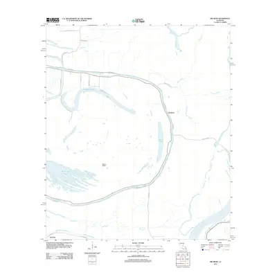
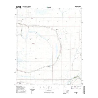
 2020 Big Bend2020 Print · USGSCovers Big Bend, including Red Fish, Avoyelles Parish, and other nearby areas
 - 2024 Map of Big Bend, 2024 Print
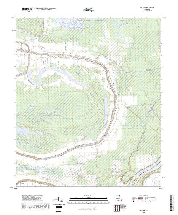 2024 Big Bend2024 Print · USGSSettlement in the Atchafalaya basin is dictated by the water, as seen in this modern survey of the bayou country. Genealogists and local historians can trace the roads and waterways connecting Bordelonville, Big Bend, and Pomme De Terre Swamp.
End of results
Showing maps 1-13 of 13
Top cities near Big Bend
Frequently asked questions
- What are the different types of historical maps available for Big Bend?
- What is the oldest map of Big Bend?
- Where can I purchase historical maps of Big Bend for my home or office?
- Where can I download high-res historical maps of Big Bend?
- Are there historical topographic maps available for Big Bend?
- Is there historical aerial imagery available for Big Bend?
- Where are historical maps of Big Bend sourced from?