Old Maps of Lowry, Louisiana for Academic Research
Study the evolution of Lowry with 12 high-resolution historic maps. Whether you're teaching, researching, or modeling changes in land use, these maps provide essential visual documentation of urban, environmental, and geographic change.
- Analyze long-term change: Track patterns in development, transportation, and natural features.
- Ideal for environmental or urban studies: Support academic projects with primary historical map data.
- Use in the classroom or lab: Educators and researchers rely on these maps to bring historical context to life.
These maps are a powerful tool for teaching, research, and visualizing how Lowry has changed over the decades.
Lowry, LA maps
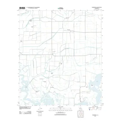
(12)- 1947 Map of Thornwell
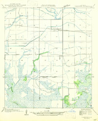 1947 Thornwell1947 Print · USGSAgricultural drainage and rail transport define this coastal Louisiana landscape in the 1930s. Researchers can trace the Southern Pacific line through Thornwell, find the Lowry Sch, and map old irrigation routes like the Live Oak Farm Irrigation Canal.
 - 1952 Map of Lake Charles
 1952 Lake Charles1952 Print · USGSSouthwest Louisiana is captured here in the mid-fifties, showing a landscape defined by the rise of the petrochemical industry and deep-water navigation. Researchers can trace family roots through numerous small-town settlements and oil developments like Nibletts Bluff, the Lockport Oil Field, and Starks.
 - 1954 Map of Thornwell
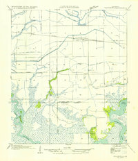 1954 Thornwell1954 Print · USGSCoastal prairie and marshland meet south of the Southern Pacific tracks in the 1950s. Genealogists and historians can trace the irrigation network around Thornwell or locate family sites like the Lowry Sch and the Coto Plot.
 - 1954 Map of Lake Charles, 1964 Print
 1954 Lake Charles1964 Print · USGSSouthwest Louisiana in the mid-fifties is defined by its massive petroleum industry and its complex network of bayous and rail lines. Researchers can trace the development of the Sulphur Mines Oil Field or locate historic settlements like Longville and De Quincy.3 unique versions available
 - 1955 Map of Welsh, 1956 Print
 1955 Welsh1956 Print · USGSCoastal Louisiana prairie and marshlands meet in the mid-fifties, showing the agricultural and industrial landscape of Jefferson Davis Parish. Trace family roots at Broussard Cem or follow the old Southern Pacific line through Lacassine and Welsh.4 unique versions available
 - 1985 Map of Thornwell
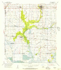
 1985 Thornwell1985 Print · USGSCoastal Louisiana in the mid-eighties reveals a landscape shaped by water engineering and the oil industry at the Jefferson Davis and Cameron Parish line. Genealogists and researchers can trace the rural communities of Thornwell and Lowry or locate industrial sites like the Refinery near the Mermentau River.
 - 1985 Map of Crowley, 1986 Print
 1985 Crowley1986 Print · USGSCoastal prairie and bayou country are captured in the mid-eighties as the rice-and-rail economy defined South Louisiana life. Genealogists and researchers can trace family lands and rural hubs from Crowley to Jennings, following the paths of the Southern Pacific Railroad and the winding Mermentau River.2 unique versions available
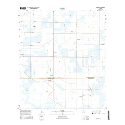
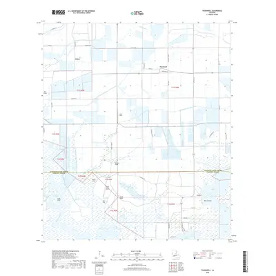
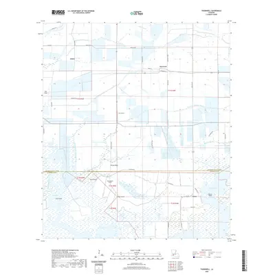
 - 2012 Map of Thornwell, 2012 Print
 2012 Thornwell2012 Print · USGSCovers Lowry, including Thornwell, Niblett, and other nearby areas
 - 2015 Map of Thornwell, 2015 Print
 2015 Thornwell2015 Print · USGSCovers Lowry, including Thornwell, Niblett, and other nearby areas
 - 2018 Map of Thornwell, 2018 Print
 2018 Thornwell2018 Print · USGSCovers Lowry, including Thornwell, Niblett, and other nearby areas
 - 2020 Map of Thornwell, 2020 Print
 2020 Thornwell2020 Print · USGSCovers Lowry, including Thornwell, Niblett, and other nearby areas
 - 2024 Map of Thornwell, 2024 Print
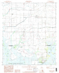
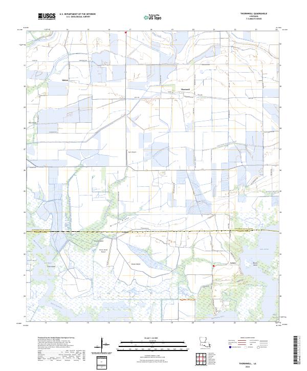 2024 Thornwell2024 Print · USGSCoastal marsh and prairie meet in this contemporary view of the Jefferson Davis Parish border. Researchers can trace the water systems of Niblett Canal or locate local landmarks like Lyon Airport and the Lacassine National Wildlife Refuge.
End of results
Showing maps 1-12 of 12
Top cities near Lowry
- Jennings historical maps
- Welsh historical maps
- Lake Arthur historical maps
- Hayes historical maps
- Mermentau historical maps
- Roanoke historical maps
Frequently asked questions
- What are the different types of historical maps available for Lowry?
- What is the oldest map of Lowry?
- Where can I purchase historical maps of Lowry for my home or office?
- Where can I download high-res historical maps of Lowry?
- Are there historical topographic maps available for Lowry?
- Is there historical aerial imagery available for Lowry?
- Where are historical maps of Lowry sourced from?