Old Maps of Fairview, Louisiana for Genealogy
Trace your family roots with 13 historic maps of Fairview. These high-res maps reveal old neighborhoods, homesites, landmarks, and streets — helping you uncover where your ancestors lived and how the area evolved over time.
- Explore historic neighborhoods: Identify where your relatives may have lived in the 1800s or 1900s.
- Compare maps over time: Trace the changes in streets, buildings, and landmarks for multi-generational research.
- Perfect for genealogy & ancestry research: Used by family historians and researchers to map out lineage and migration.
These maps are an incredible resource for exploring your personal connection to Fairview's past.
Fairview, LA maps
(13)- 1939 Map of Deer Park, 1951 Print
 1939 Deer Park1951 Print · USGSThe Lower Mississippi River valley in the late thirties reveals a landscape of massive plantations and shifting river bends. Genealogists and historians can trace family land in Moro Plantation, locate schools like Central High School, or find small settlements such as Monterey and Arnot.
 - 1953 Map of Natchez, 1966 Print
 1953 Natchez1966 Print · USGSSouthwest Mississippi and the Louisiana border country come alive in this mid-century survey of the river valley and forest lands. Researchers can trace the rail lines of the Illinois Central RR and locate rural hubs like Gloster and Ferriday.3 unique versions available
 - 1956 Map of Natchez
 1956 Natchez1956 Print · USGSThe Mississippi River borderlands and the Pine Hills come alive in this mid-fifties study of the Natchez region. Genealogists and historians can trace rail-era towns along the Illinois Central RR and explore the oxbows of Lake Bruin and Lake Concordia.
 - 1959 Map of Natchez
 1959 Natchez1959 Print · USGSSouthwestern Mississippi and eastern Louisiana are captured in the late fifties, showing a landscape defined by the winding Mississippi River and the timbered Homochitto National Forest. Researchers can trace the sprawling Illinois Central RR and find rural landmarks like Union Church and Camp Van Dorn (Abandoned).
 - 1961 Map of Monterey, 1963 Print
 1961 Monterey1963 Print · USGSConcordia Parish in the early sixties is a landscape of winding bayous and active oil fields. Genealogists can locate family landmarks like Pt Pleasant Cem and Ashland Cem, or trace the path of the Old Railroad near Monterey.3 unique versions available
 - 1983 Map of Fairview, 1984 Print
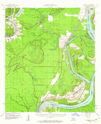
 1983 Fairview1984 Print · USGSThe Mississippi River borderlands in the late seventies and early eighties reveal a landscape of heavy industry and shifting waters. Researchers can trace riverside history through the Ashland Cem and small landings at Fairview and Crosby.
 - 1984 Map of Woodville
 1984 Woodville1984 Print · USGSThe Mississippi-Louisiana borderlands in the mid-eighties show a landscape defined by the shifting MISSISSIPPI RIVER and sprawling timberlands. Researchers can trace the ILLINOIS CENTRAL GULF railroad through Gloster or locate historic river points like Fort Adams and Point Breeze.
 - 1991 Map of Woodville
 1991 Woodville1991 Print · USGSWilkinson County and the Louisiana borderlands appear here in the early nineties, where the bluffs meet the Mississippi River floodplain. Trace the sites of old river landings and rural outposts like Fort Adams, Pinckneyville, and the remote Larto Lake community.
 - 2012 Map of Fairview, 2012 Print
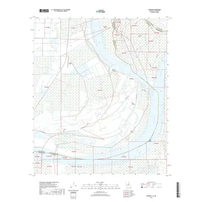
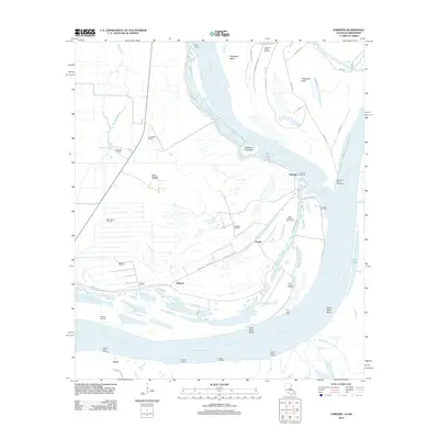 2012 Fairview2012 Print · USGSCovers Fairview, including Arnot, Crosby, and other nearby areas
 - 2015 Map of Fairview, 2015 Print
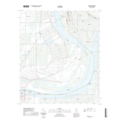
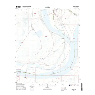 2015 Fairview2015 Print · USGSCovers Fairview, including Arnot, Crosby, and other nearby areas
 - 2018 Map of Fairview, 2018 Print
 2018 Fairview2018 Print · USGSCovers Fairview, including Arnot, Crosby, and other nearby areas
 - 2020 Map of Fairview, 2020 Print
 2020 Fairview2020 Print · USGSCovers Fairview, including Arnot, Crosby, and other nearby areas
 - 2024 Map of Fairview, 2024 Print
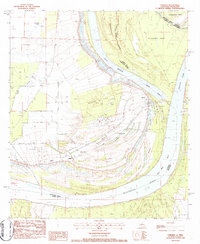
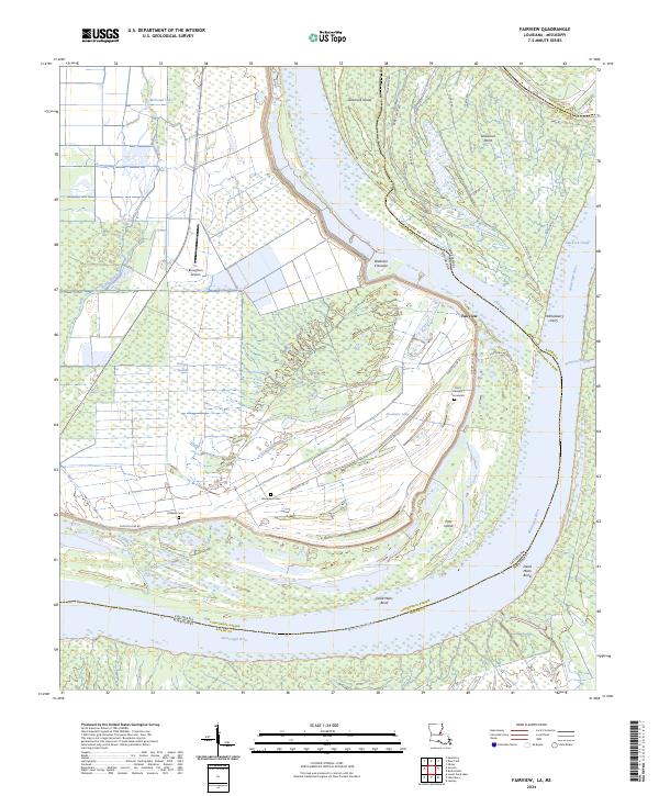 2024 Fairview2024 Print · USGSThe riverlands of Concordia Parish and Adams County appear here in the early twenty-first century, defined by the winding border of the Mississippi River. Local researchers can locate family burial sites at Ashland Cem or the Point Pleasant Cemeteries and trace the levee-protected reaches of Fairview.
End of results
Showing maps 1-13 of 13
Top cities near Fairview
Frequently asked questions
- What are the different types of historical maps available for Fairview?
- What is the oldest map of Fairview?
- Where can I purchase historical maps of Fairview for my home or office?
- Where can I download high-res historical maps of Fairview?
- Are there historical topographic maps available for Fairview?
- Is there historical aerial imagery available for Fairview?
- Where are historical maps of Fairview sourced from?