Old Maps of Grimes, Louisiana for Academic Research
Study the evolution of Grimes with 12 high-resolution historic maps. Whether you're teaching, researching, or modeling changes in land use, these maps provide essential visual documentation of urban, environmental, and geographic change.
- Analyze long-term change: Track patterns in development, transportation, and natural features.
- Ideal for environmental or urban studies: Support academic projects with primary historical map data.
- Use in the classroom or lab: Educators and researchers rely on these maps to bring historical context to life.
These maps are a powerful tool for teaching, research, and visualizing how Grimes has changed over the decades.
Grimes, LA maps
(12)- 1939 Map of Alsatia, 1953 Print
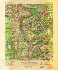 1939 Alsatia1953 Print · USGSThe river-driven landscape of the Louisiana and Mississippi border is shown here during a period of massive hydraulic engineering. Researchers can trace the shifting river channel and rail-stop settlements like Alsatia, Fitler PO, and Sondheimer.2 unique versions available
 - 1955 Map of Jackson
 1955 Jackson1955 Print · USGSThe Lower Mississippi Valley at the middle of the century reveals a landscape of deep river meanders and growing rail hubs. Genealogists and historians can trace the mid-century footprints of Vicksburg National Military Park, old river landings at Port Gibson, and the rail corridors of the Illinois Central Railroad.3 unique versions available
 - 1961 Map of Jackson
 1961 Jackson1961 Print · USGSThe Lower Mississippi Delta and the state capital area are captured here during the post-war era of infrastructure expansion. Researchers can trace the complex river oxbows and rail lines connecting Vicksburg, Yazoo City, and the Illinois Central Railroad network.
 - 1962 Map of Jackson
 1962 Jackson1962 Print · USGSThe Mississippi Delta and the state capital region are mapped here in the early sixties, showing a landscape defined by the great river and the growing city of JACKSON. Genealogists can trace family roots through numerous landmarks like Cedar Hill Cem, rural stops on the Illinois Central RR, and historic sites like Champion Hill.2 unique versions available
 - 1970 Map of Transylvania, 1972 Print
 1970 Transylvania1972 Print · USGSThe Mississippi Delta's rich agricultural and rail-dependent landscape is captured here in the early seventies. Genealogists and local historians can trace family ties at Cold Tar Cem, visit the Indian Mounds, or locate historic railroad stops at Hollybrook and Transylvania.2 unique versions available
 - 1982 Map of Bastrop, 1983 Print
 1982 Bastrop1983 Print · USGSNortheastern Louisiana and the Mississippi River Delta are captured here in the early eighties as a landscape of bayous and river towns. Genealogists and historians can trace small communities like Mer Rouge and Oak Grove or the ancient terrain of Poverty Point State Park.
 - 1994 Map of Transylvania, 1995 Print
 1994 Transylvania1995 Print · USGSEast Carroll Parish sits along a volatile stretch of the Mississippi River in the 1990s, where the landscape still bears the scars of historic floods. Researchers can trace land use through the Hollybrook Crevasse or locate family sites like Cold Tart Cem and the Morning Star Ch.
 - 2012 Map of Transylvania, 2012 Print
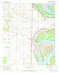
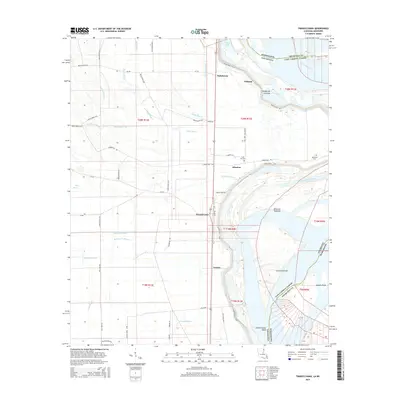
 2012 Transylvania2012 Print · USGSCovers Grimes, including Wilman, Transylvania, and other nearby areas
 - 2015 Map of Transylvania, 2015 Print
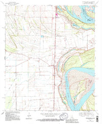
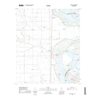
 2015 Transylvania2015 Print · USGSCovers Grimes, including Wilman, Transylvania, and other nearby areas
 - 2018 Map of Transylvania, 2018 Print
 2018 Transylvania2018 Print · USGSCovers Grimes, including Wilman, Transylvania, and other nearby areas
 - 2020 Map of Transylvania, 2020 Print
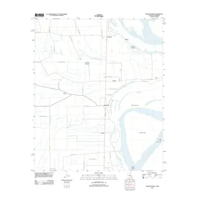
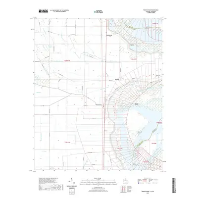 2020 Transylvania2020 Print · USGSCovers Grimes, including Wilman, Transylvania, and other nearby areas
 - 2024 Map of Transylvania, 2024 Print
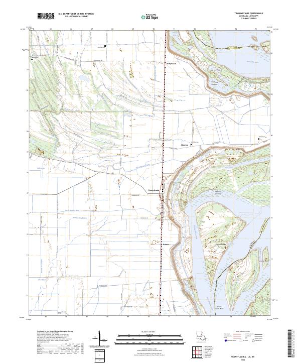 2024 Transylvania2024 Print · USGSEast Carroll Parish at the Mississippi River's edge reveals a landscape of alluvial agriculture and riverine history. Researchers can locate Transylvania and Atherton, alongside family-named sites like Benjamin Cem and Live Oak Cem.
End of results
Showing maps 1-12 of 12
Top cities near Grimes
Frequently asked questions
- What are the different types of historical maps available for Grimes?
- What is the oldest map of Grimes?
- Where can I purchase historical maps of Grimes for my home or office?
- Where can I download high-res historical maps of Grimes?
- Are there historical topographic maps available for Grimes?
- Is there historical aerial imagery available for Grimes?
- Where are historical maps of Grimes sourced from?