Old Maps of Jackson Landing, Louisiana for Academic Research
Study the evolution of Jackson Landing with 13 high-resolution historic maps. Whether you're teaching, researching, or modeling changes in land use, these maps provide essential visual documentation of urban, environmental, and geographic change.
- Analyze long-term change: Track patterns in development, transportation, and natural features.
- Ideal for environmental or urban studies: Support academic projects with primary historical map data.
- Use in the classroom or lab: Educators and researchers rely on these maps to bring historical context to life.
These maps are a powerful tool for teaching, research, and visualizing how Jackson Landing has changed over the decades.
Jackson Landing, LA maps
(13)- 1935 Map of Waverly, 1938 Print
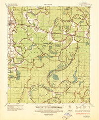 1935 Waverly1938 Print · USGSThe Louisiana delta in the mid-1930s shows a landscape defined by the winding Tensas River and early industrial expansion. Trace the remnants of a Logging Railroad Abandoned and the growth of trackside settlements like Delhi and Quebec.2 unique versions available
 - 1955 Map of Jackson
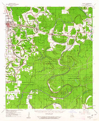
 1955 Jackson1955 Print · USGSThe Lower Mississippi Valley at the middle of the century reveals a landscape of deep river meanders and growing rail hubs. Genealogists and historians can trace the mid-century footprints of Vicksburg National Military Park, old river landings at Port Gibson, and the rail corridors of the Illinois Central Railroad.3 unique versions available
 - 1961 Map of Jackson
 1961 Jackson1961 Print · USGSThe Lower Mississippi Delta and the state capital area are captured here during the post-war era of infrastructure expansion. Researchers can trace the complex river oxbows and rail lines connecting Vicksburg, Yazoo City, and the Illinois Central Railroad network.
 - 1961 Map of Waverly, 1963 Print
 1961 Waverly1963 Print · USGSIn the early 1960s, these Northeast Louisiana parishes were defined by their winding bayous and the reach of the timber industry. Genealogists can trace family roots through several rural churches like Midway Church or Zion Pilgrim No 2 Church and the centrally located Waverly Cem.2 unique versions available
 - 1962 Map of Jackson
 1962 Jackson1962 Print · USGSThe Mississippi Delta and the state capital region are mapped here in the early sixties, showing a landscape defined by the great river and the growing city of JACKSON. Genealogists can trace family roots through numerous landmarks like Cedar Hill Cem, rural stops on the Illinois Central RR, and historic sites like Champion Hill.2 unique versions available
 - 1982 Map of Tallulah, 1983 Print
 1982 Tallulah1983 Print · USGSNortheast Louisiana in the early eighties was a landscape of intricate oxbow lakes and railroad towns. Researchers can trace the heritage of parish centers like Tallulah and Winnsboro, or locate rural landmarks near Yucatan Lake and the Illinois Central Gulf tracks.
 - 1987 Map of Indian Lake
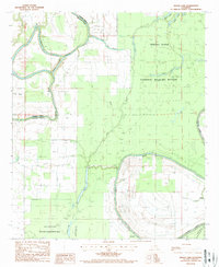 1987 Indian Lake1987 Print · USGSMadison and Franklin Parishes in the late 1980s are defined by a complex web of wetlands and wildlife preserves. Researchers can trace the meandering Tensas River through the Tensas National Wildlife Refuge or locate the remote Landing Strip near Bakers Brake.
 - 1998 Map of Indian Lake, 2002 Print
 1998 Indian Lake2002 Print · USGSMadison and Franklin Parishes at the turn of the millennium showcase a landscape of managed delta wilderness and complex waterways. Local historians can trace the meandering parish line along Bayou Macon and locate remote landmarks like the Landing Strip or Africa Lake.
 - 2012 Map of Indian Lake, 2012 Print
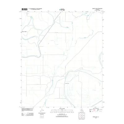 2012 Indian Lake2012 Print · USGSCovers Jackson Landing, including Franklin Parish, Madison Parish, and other nearby areas
 - 2015 Map of Indian Lake, 2015 Print
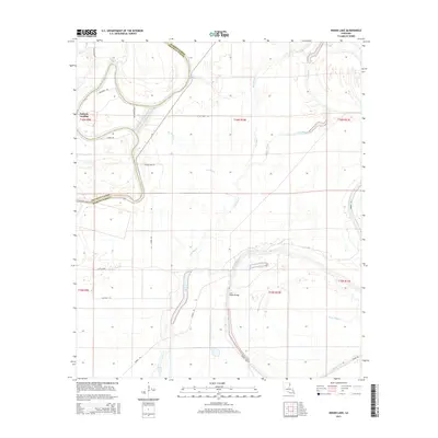 2015 Indian Lake2015 Print · USGSCovers Jackson Landing, including Franklin Parish, Madison Parish, and other nearby areas
 - 2018 Map of Indian Lake, 2018 Print
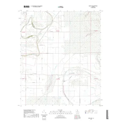 2018 Indian Lake2018 Print · USGSCovers Jackson Landing, including Franklin Parish, Madison Parish, and other nearby areas
 - 2020 Map of Indian Lake, 2020 Print
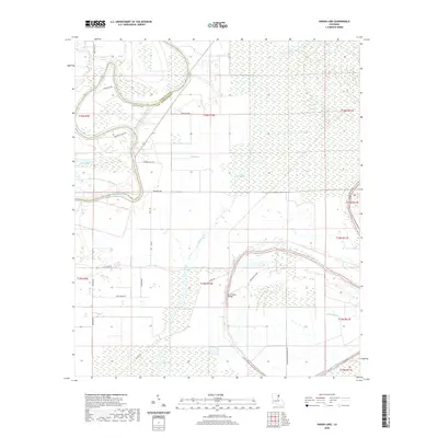 2020 Indian Lake2020 Print · USGSCovers Jackson Landing, including Franklin Parish, Madison Parish, and other nearby areas
 - 2024 Map of Indian Lake, 2024 Print
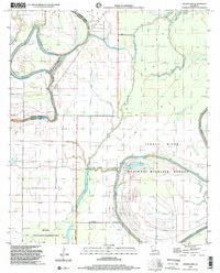
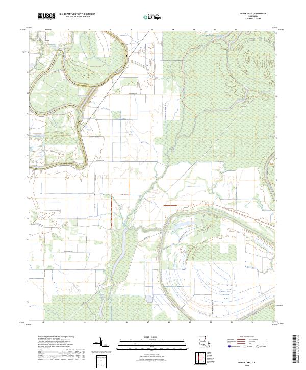 2024 Indian Lake2024 Print · USGSThe alluvial plains of Franklin and Madison Parishes are revealed in this modern survey of the Bayou Macon basin. Genealogists and local historians can trace legacy sites like Butler Landing and follow the intricate waterways of Chain Lake and the Tensas River.
End of results
Showing maps 1-13 of 13
Top cities near Jackson Landing
Frequently asked questions
- What are the different types of historical maps available for Jackson Landing?
- What is the oldest map of Jackson Landing?
- Where can I purchase historical maps of Jackson Landing for my home or office?
- Where can I download high-res historical maps of Jackson Landing?
- Are there historical topographic maps available for Jackson Landing?
- Is there historical aerial imagery available for Jackson Landing?
- Where are historical maps of Jackson Landing sourced from?