Old Maps of Gentilly Woods, New Orleans
Explore 19 old maps of Gentilly Woods, spanning from 1891 to today. These high-resolution historic maps reveal how streets, neighborhoods, landmarks, and natural features evolved over time — perfect for genealogy, metal detecting, research, and local history exploration.
What you can do with these maps:
- See how Gentilly Woods changed over time: Compare historical maps to modern-day views to trace roads, homesites, rail lines & more.
- View detailed metadata: Each map includes creators, publishers, year, scale, and archive source.
- Overlay maps with satellite & LiDAR: Visualize the past alongside modern tools to explore terrain & human change.
- Trusted historical sources: Maps sourced from the USGS, Library of Congress, and other archives.
- Access maps your way: View online, download high-res files, or order prints for personal or research use.
Start exploring old maps of Gentilly Woods to uncover forgotten places, hidden landmarks, and the deep history beneath your feet.
Gentilly Woods, New Orleans maps
(19)- 1891 Map of Spanish Fort
 1891 Spanish Fort1891 Print · USGSThe New Orleans lakefront in the early 1890s was a landscape of emerging rail hubs and shoreline outposts. Trace the early footprints of Milneburg, Spanish Fort, and the lighthouse stations along Lake Pontchartrain during this pivotal era of coastal growth.4 unique versions available
 - 1936 Map of Spanish Fort, 1938 Print
 1936 Spanish Fort1938 Print · USGSThe New Orleans lakefront in the mid-1930s reveals a landscape of leisure and engineering as the city expanded toward the water. Trace the footprints of Pontchartrain Beach Amusement Park, the historic docks at Milneburg, and the path of the Old Spanish Trail.
 - 1938 Map of Spanish Fort
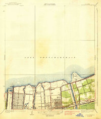 1938 Spanish Fort1938 Print · USGSThe southern shore of Lake Pontchartrain comes alive in the late 1930s as New Orleans expands toward the water. Trace the footprints of Shushan Airport, the historic Milneburg settlement, and leisure landmarks like Pontchartrain Beach and the Southern Yacht Club.2 unique versions available
 - 1951 Map of Spanish Fort, 1953 Print
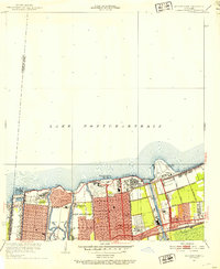 1951 Spanish Fort1953 Print · USGSNew Orleans’ lakefront underwent significant development in the early fifties, blending industrial canals with recreational parks. Trace the historic Spanish Fort site, the grounds of the Milne Home For Boys, and the aviation layout of the New Orleans Airport.2 unique versions available
 - 1953 Map of Spanish Fort, 1954 Print
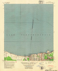 1953 Spanish Fort1954 Print · USGSCoastal Jefferson and Orleans Parishes are shown in the early fifties during a period of significant drainage and airfield expansion. Researchers can trace the development of Metairie and West End or locate landmarks like Spanish Fort and the New Orleans Airport.
 - 1954 Map of Baton Rouge, 1974 Print
 1954 Baton Rouge1974 Print · USGSSoutheast Louisiana in the mid-fifties is captured here during a period of transition for its river and rail economies. Researchers can trace the path of the Mississippi River and find landmarks like the Bonnet Carre Spillway and Bayou Plaquemine.2 unique versions available
 - 1956 Map of Baton Rouge
 1956 Baton Rouge1956 Print · USGSSouth Louisiana at the height of the mid-century oil boom shows a landscape of river oxbows and rising industry. Researchers can trace family roots through river towns like Scotlandville or locate early industrial sites and Oil wells near Lake Maurepas.
 - 1961 Map of Baton Rouge, 1966 Print
 1961 Baton Rouge1966 Print · USGSSoutheastern Louisiana in the early sixties remains a landscape of deep river bends and sprawling coastal lakes. Genealogists and historians can trace the rail-and-river economy through landmarks like Free-Nigger Point, Donaldsonville, and the Illinois Central Railroad.
 - 1962 Map of Baton Rouge
 1962 Baton Rouge1962 Print · USGSSouth Louisiana in the early sixties reveals a landscape of river-bend parishes and emerging interstate corridors. Genealogists and historians can trace family roots through historic river towns like Donaldsonville and Plaquemine, or follow the path of the Illinois Central Railroad through the swamp basins.
 - 1965 Map of Spanish Fort, 1966 Print
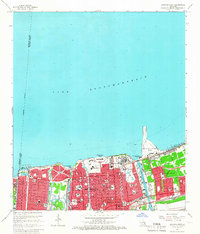 1965 Spanish Fort1966 Print · USGSNew Orleans along the southern shore of Lake Pontchartrain reached a height of mid-century development just before significant urban changes. Researchers can trace the layout of City Park, the Spanish Fort Ruins, and numerous parochial institutions like St Joseph Academy.4 unique versions available
 - 1967 Map of Spanish Fort, 1969 Print
 1967 Spanish Fort1969 Print · USGSThe Jefferson and Orleans Parish lakefronts are shown here in the late sixties as suburban expansion reached the shores of Lake Pontchartrain. Trace the development of neighborhoods like Bucktown and Indian Beach alongside the New Orleans Lakefront Airport.
 - 1983 Map of Ponchatoula, 1984 Print
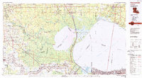 1983 Ponchatoula1984 Print · USGSThe Lake Pontchartrain Basin and the River Parishes come into focus during the early 1980s, showcasing the region's complex water-dependent geography. Researchers can trace the rail routes of the Illinois Central Gulf Railroad and explore landmarks from Pass Manchac to Donaldsonville.2 unique versions available
 - 1992 Map of Spanish Fort
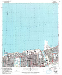 1992 Spanish Fort1992 Print · USGSThe northern lakefront of New Orleans is shown here in the early nineties, featuring a highly developed shoreline of harbors and universities. Researchers can trace local landmarks like Spanish Fort, City Park, and the Hebrew Rest Cem.2 unique versions available
 - 1999 Map of Spanish Fort, 2000 Print
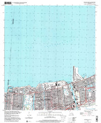 1999 Spanish Fort2000 Print · USGSThe Lake Pontchartrain shoreline in northern New Orleans appears here just before the turn of the millennium. Researchers can trace the layout of historic Spanish Fort, locate the cluster of Jewish Cemeteries, and see the development around Seabrook.
 - 2012 Map of Spanish Fort, 2012 Print
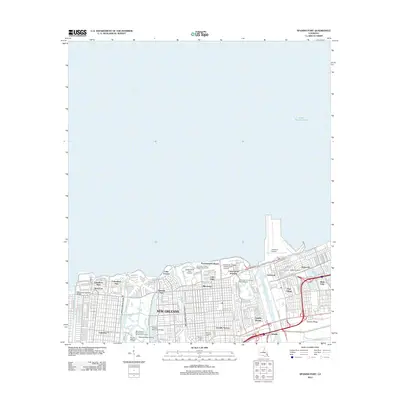 2012 Spanish Fort2012 Print · USGSThe Lake Pontchartrain shoreline in the early twenty-first century reveals a New Orleans landscape of intricate canals and residential expansion. Trace the historical footprints of Milneburg and Spanish Fort or locate family plots at Hebrew Rest Cem.
 - 2015 Map of Spanish Fort, 2015 Print
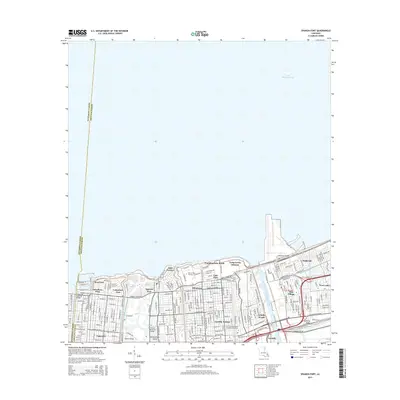 2015 Spanish Fort2015 Print · USGSThe northern lakefront of New Orleans is captured in the mid-2010s, showing the intersection of historic neighborhoods and massive drainage projects. Genealogists and historians can trace the streets of Milneburg and West End or locate landmarks like the Ahavas Sholem Cem.
 - 2018 Map of Spanish Fort, 2018 Print
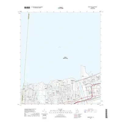 2018 Spanish Fort2018 Print · USGSNew Orleans' lakefront comes into sharp focus in this recent survey of the city's northern neighborhoods. Researchers can trace the layout of historical areas like Milneburg and Spanish Fort alongside local landmarks like Hebrew Rest Cem and the Univ of New Orleans.
 - 2020 Map of Spanish Fort, 2020 Print
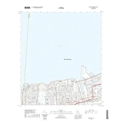 2020 Spanish Fort2020 Print · USGSThe New Orleans lakefront appears in high detail during the modern era, showing the intersection of coastal engineering and urban life. Researchers can trace the layout of historic districts like Milneburg and Spanish Fort or locate the grounds of Southern University at New Orleans.
 - 2024 Map of Spanish Fort, 2024 Print
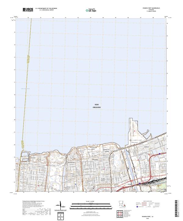 2024 Spanish Fort2024 Print · USGSThe Lake Pontchartrain shoreline in New Orleans reflects a modern landscape of academic institutions and coastal aviation. Researchers can trace the layout of historic neighborhoods like Milneburg and Gentilly Terrace alongside landmarks such as Lakefront Airport.
End of results
Showing maps 1-19 of 19
Frequently asked questions
- What are the different types of historical maps available for Gentilly Woods?
- What is the oldest map of Gentilly Woods?
- Where can I purchase historical maps of Gentilly Woods for my home or office?
- Where can I download high-res historical maps of Gentilly Woods?
- Are there historical topographic maps available for Gentilly Woods?
- Is there historical aerial imagery available for Gentilly Woods?
- Where are historical maps of Gentilly Woods sourced from?