Old Maps of Zwolle, Louisiana
Explore 27 old maps of Zwolle, spanning from 1941 to today. These high-resolution historic maps reveal how streets, neighborhoods, landmarks, and natural features evolved over time — perfect for genealogy, metal detecting, research, and local history exploration.
What you can do with these maps:
- See how Zwolle changed over time: Compare historical maps to modern-day views to trace roads, homesites, rail lines & more.
- View detailed metadata: Each map includes creators, publishers, year, scale, and archive source.
- Overlay maps with satellite & LiDAR: Visualize the past alongside modern tools to explore terrain & human change.
- Trusted historical sources: Maps sourced from the USGS, Library of Congress, and other archives.
- Access maps your way: View online, download high-res files, or order prints for personal or research use.
Start exploring old maps of Zwolle to uncover forgotten places, hidden landmarks, and the deep history beneath your feet.
Zwolle, LA maps
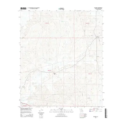
(27)- 1941 Map of Zwolle
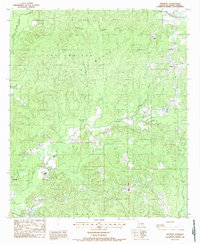
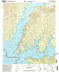
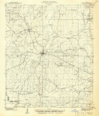 1941 Zwolle1941 Print · USGSSabine Parish in the early 1940s is captured here as a landscape of timber-driven rail lines and riverside crossings. Genealogists can trace the rural communities of the era through sites like Pattersons Ferry, Alliance Sch, and Sardis Cem.
 - 1944 Map of Zwolle
 1944 Zwolle1944 Print · USGSSabine Parish and the borderlands of Louisiana and Texas are captured here during the wartime economy. Family historians can locate rural landmarks like Noble Cem, Alliance Sch, and small community centers at Belmont and Vines.2 unique versions available
 - 1953 Map of Alexandria, 1963 Print
 1953 Alexandria1963 Print · USGSCentral Louisiana during the early fifties is mapped here at the intersection of the piney woods and the Red River valley. Genealogists and historians can trace the rail-and-river network connecting towns like Alexandria, Natchitoches, and the grounds of Camp Beauregard.3 unique versions available
 - 1955 Map of Alexandria
 1955 Alexandria1955 Print · USGSCentral Louisiana in the mid-fifties is a landscape of river-port cities, sprawling timberlands, and massive military reservations. Genealogists and historians can trace the rail networks of the Texas & Pacific RR and locate sites like Camp Polk Military Reservation and Natchitoches.
 - 1957 Map of Zwolle, 1966 Print
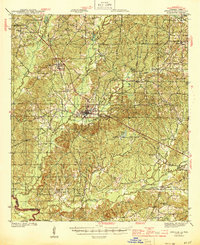
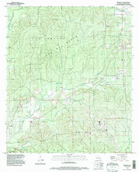
 1957 Zwolle1966 Print · USGSSabine Parish in the late fifties shows a rural landscape of timber, oil, and rail transport. Researchers can trace the Kansas City Southern Ry through Zwolle or locate rural landmarks like San Patricio Ch and Clyde Cem.4 unique versions available
 - 1984 Map of Beech Bayou
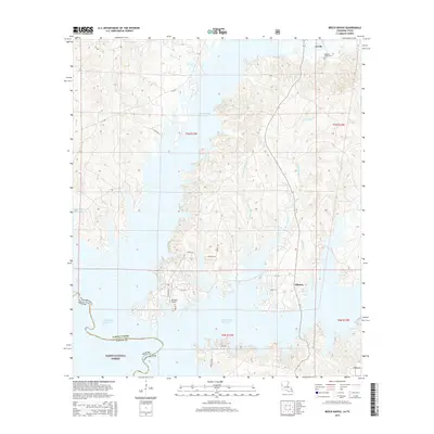
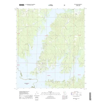
 1984 Beech Bayou1984 Print · USGSThe Louisiana-Texas borderlands are captured here in the mid-1980s, showing the complex shoreline of the Toledo Bend Reservoir. Researchers can trace the rural settlement of Alliance and the winding reaches of Bayou San Miguel and Beech Bayou.
 - 1986 Map of Natchitoches
 1986 Natchitoches1986 Print · USGSNorthwestern Louisiana during the mid-eighties shows a landscape shaped by major water projects and timberlands. Researchers can trace historic routes like the Old Spanish Trail or locate rural communities such as Fort Jesup, Fairview Alpha, and Grappes Bluff.2 unique versions available
 - 1988 Map of Belmont
 1988 Belmont1988 Print · USGSWestern Louisiana in the late eighties reveals a landscape shaped by pine-woods heritage and winding bayous. Genealogists and researchers can trace rural homesteads and family burial sites near Belmont, Beaverdam Slough, and the waters of Bayou San Miguel.
 - 1988 Map of Zwolle
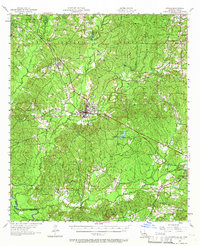
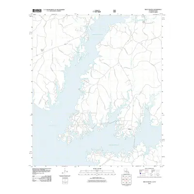
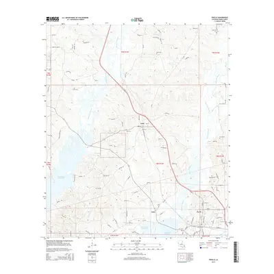
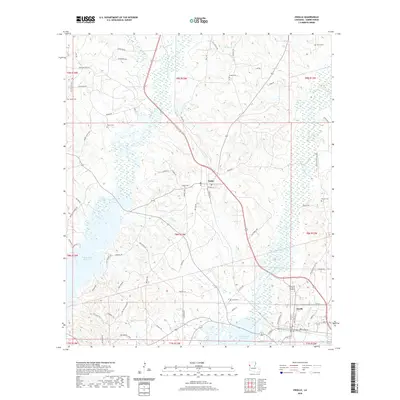
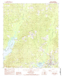 1988 Zwolle1988 Print · USGSSabine Parish life in the late eighties centered around the growing waters of the Toledo Bend Reservoir and the town of Zwolle. Genealogists and researchers can locate several rural Cem sites and trace the historic paths of Bayou San Miguel and Noble.
 - 1994 Map of Belmont, 1997 Print
 1994 Belmont1997 Print · USGSSabine Parish in the mid-1990s was a landscape defined by deep timberlands and the winding waters of Bayou Scie. Researchers can trace the rural layout of Belmont and the northern fringes of Zwolle, or locate landmarks like Turpentine Spring and Beaverdam Slough.
 - 1995 Map of Zwolle, 1997 Print
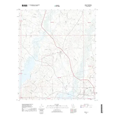
 1995 Zwolle1997 Print · USGSSabine Parish in the mid-1990s centers on the growing shoreline of the Toledo Bend Reservoir. Local researchers can trace family sites near Zwolle and Noble, or locate specific landmarks like the Clay Pit and numerous rural cemeteries.
 - 2003 Map of Beech Bayou, 2004 Print
 2003 Beech Bayou2004 Print · USGSThe Sabine River valley and the eastern edge of the Toledo Bend Reservoir are shown here at the start of the 21st century. Researchers can trace land divisions within the La Nana Grant or locate landmarks like the Alliance settlement and the Cem near the forest edge.
 - 2010 Map of Beech Bayou, 2010 Print
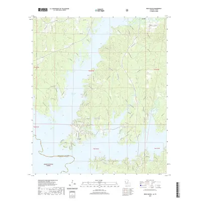
 2010 Beech Bayou2010 Print · USGSCovers Zwolle, including Alliance, Sabine Parish, and other nearby areas
 - 2012 Map of Zwolle, 2012 Print
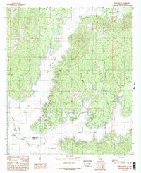
 2012 Zwolle2012 Print · USGSCovers Zwolle, including Noble, Clyde, and other nearby areas
 - 2012 Map of Belmont, 2012 Print
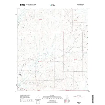
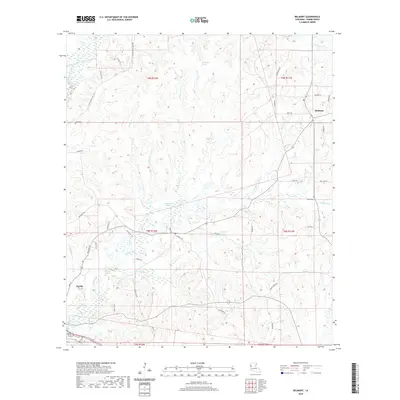
 2012 Belmont2012 Print · USGSCovers Zwolle, including Belmont, Bayou Scie, and other nearby areas
 - 2015 Map of Belmont, 2015 Print
 2015 Belmont2015 Print · USGSCovers Zwolle, including Belmont, Bayou Scie, and other nearby areas
 - 2015 Map of Zwolle, 2015 Print
 2015 Zwolle2015 Print · USGSCovers Zwolle, including Noble, Clyde, and other nearby areas
 - 2015 Map of Beech Bayou, 2015 Print
 2015 Beech Bayou2015 Print · USGSCovers Zwolle, including Alliance, Sabine Parish, and other nearby areas
 - 2018 Map of Zwolle, 2018 Print
 2018 Zwolle2018 Print · USGSCovers Zwolle, including Noble, Clyde, and other nearby areas
 - 2018 Map of Beech Bayou, 2018 Print
 2018 Beech Bayou2018 Print · USGSCovers Zwolle, including Alliance, Sabine Parish, and other nearby areas
 - 2018 Map of Belmont, 2018 Print
 2018 Belmont2018 Print · USGSCovers Zwolle, including Belmont, Bayou Scie, and other nearby areas
 - 2020 Map of Belmont, 2020 Print
 2020 Belmont2020 Print · USGSCovers Zwolle, including Belmont, Bayou Scie, and other nearby areas
 - 2020 Map of Zwolle, 2020 Print
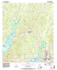
 2020 Zwolle2020 Print · USGSCovers Zwolle, including Noble, Clyde, and other nearby areas
 - 2020 Map of Beech Bayou, 2020 Print
 2020 Beech Bayou2020 Print · USGSCovers Zwolle, including Alliance, Sabine Parish, and other nearby areas
 - 2024 Map of Belmont, 2024 Print
 2024 Belmont2024 Print · USGSSabine Parish at the dawn of the 2020s shows a landscape still deeply defined by its bayous and rural road networks. Researchers can trace family history through sites like Linn Cem, the community at Belmont, and the northern reaches of Zwolle.
Showing maps 1-25 of 27
Top cities near Zwolle
- Many historical maps
- Pleasant Hill historical maps
- Florien historical maps
- Converse historical maps
- Huxley historical maps
- Fisher historical maps
See more
Frequently asked questions
- What are the different types of historical maps available for Zwolle?
- What is the oldest map of Zwolle?
- Where can I purchase historical maps of Zwolle for my home or office?
- Where can I download high-res historical maps of Zwolle?
- Are there historical topographic maps available for Zwolle?
- Is there historical aerial imagery available for Zwolle?
- Where are historical maps of Zwolle sourced from?