2020s Maps of Minden, Louisiana
Explore 8 historic maps of Minden from the 2020s. These maps offer a rare glimpse into what life looked like during the 2020s — showing old roads, neighborhoods, homes, and landmarks that have changed or disappeared over time.
Whether you're researching your family's past, planning a metal detecting trip, or studying how Minden's landscape evolved across the 2020s, these high-resolution maps are a powerful tool for exploring the history of this region.
- Focus on a specific era: All maps on this page are from the 2020s, giving you a focused view of this time period.
- See what’s changed: Compare century-old streets, trails, and buildings to today's modern landscape using overlays and satellite layers.
- Research with precision: Use these maps for genealogy, historical research, land use analysis, or educational projects.
- View, download, or print: Maps are fully viewable online in high resolution, and can be downloaded or printed for your own records.
Start exploring Minden's history through authentic maps from the 2020s. This is your window into the past.
Minden, LA maps
(8)- 2020 Map of Ada, 2020 Print
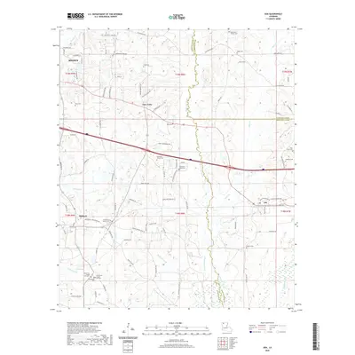 2020 Ada2020 Print · USGSCovers Minden, including Dubberly, Nine Forks, and other nearby areas
 - 2020 Map of Minden North, 2020 Print
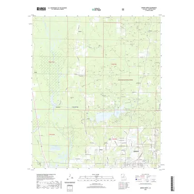 2020 Minden North2020 Print · USGSCovers Minden, including Dorcheat, Grim, and other nearby areas
 - 2020 Map of Minden South, 2020 Print
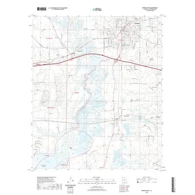 2020 Minden South2020 Print · USGSCovers Minden, including Sibley, Dubberly, and other nearby areas
 - 2020 Map of Langston, 2020 Print
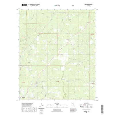 2020 Langston2020 Print · USGSCovers Minden, including Holly Springs, Germantown, and other nearby areas
 - 2024 Map of Ada, 2024 Print
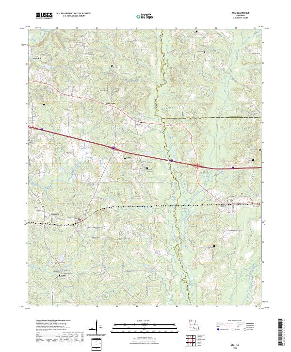 2024 Ada2024 Print · USGSSettled along the bayous of Webster Parish in the early twenty-first century, this area features rural hubs like Ada and Nine Forks. Genealogists can trace family burial sites at Mayflower Baptist Cem, Colbert Cem, and Beck Cem.
 - 2024 Map of Langston, 2024 Print
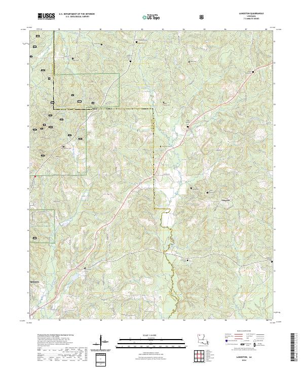 2024 Langston2024 Print · USGSLouisiana's northern hill country is captured here in the 2020s, showing a landscape defined by forest boundaries and ancestral homesteads. Researchers can trace family ties through numerous local burial sites like Holly Springs Cem and Knighten Cem near the Black Lake Bayou watershed.
 - 2024 Map of Minden North, 2024 Print
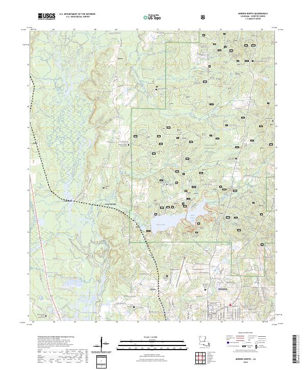 2024 Minden North2024 Print · USGSNorth of the city of Minden in the 2020s, the landscape opens into the managed timberlands and waterways of the Kisatchie National Forest. Genealogists can trace family names at Pine Grove Cem and Newsom Cem or locate the rural settlement of Long Springs.
 - 2024 Map of Minden South, 2024 Print
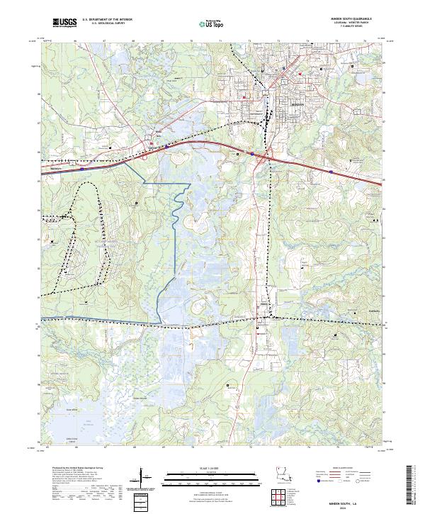 2024 Minden South2024 Print · USGSLouisiana's Red River Valley uplands meet the bayou in this modern survey of Webster Parish. Researchers can trace family history through a high density of rural burial grounds like Knottingham Cem and Mount Pero Cem or locate the Webster Parish Courthouse in Minden.
End of results
Showing maps 1-8 of 8
Top cities near Minden
- Haughton historical maps
- Homer historical maps
- Cotton Valley historical maps
- Sibley historical maps
- Gibsland historical maps
- Doyline historical maps
See more
Frequently asked questions
- What are the different types of historical maps available for Minden?
- What is the oldest map of Minden?
- Where can I purchase historical maps of Minden for my home or office?
- Where can I download high-res historical maps of Minden?
- Are there historical topographic maps available for Minden?
- Is there historical aerial imagery available for Minden?
- Where are historical maps of Minden sourced from?