Old Maps of Bear Skin, Louisiana
Explore 12 old maps of Bear Skin, spanning from 1935 to today. These high-resolution historic maps reveal how streets, neighborhoods, landmarks, and natural features evolved over time — perfect for genealogy, metal detecting, research, and local history exploration.
What you can do with these maps:
- See how Bear Skin changed over time: Compare historical maps to modern-day views to trace roads, homesites, rail lines & more.
- View detailed metadata: Each map includes creators, publishers, year, scale, and archive source.
- Overlay maps with satellite & LiDAR: Visualize the past alongside modern tools to explore terrain & human change.
- Trusted historical sources: Maps sourced from the USGS, Library of Congress, and other archives.
- Access maps your way: View online, download high-res files, or order prints for personal or research use.
Start exploring old maps of Bear Skin to uncover forgotten places, hidden landmarks, and the deep history beneath your feet.
Bear Skin, LA maps
(12)- 1935 Map of Hurricane, 1936 Print
 1935 Hurricane1936 Print · USGSRichland and Morehouse Parishes are depicted in the mid-1930s as a complex network of bayous and river islands. Genealogists can trace rural life through landmarks like Point Jefferson, Antioch Ch, and several local schools including Prospect Sch.
 - 1955 Map of Jackson
 1955 Jackson1955 Print · USGSThe Lower Mississippi Valley at the middle of the century reveals a landscape of deep river meanders and growing rail hubs. Genealogists and historians can trace the mid-century footprints of Vicksburg National Military Park, old river landings at Port Gibson, and the rail corridors of the Illinois Central Railroad.3 unique versions available
 - 1958 Map of Hurricane
 1958 Hurricane1958 Print · USGSNortheast Louisiana parishes are shown here in the late fifties, where the river and rail lines dictated the pace of rural life. Researchers can trace family roots through numerous country sites like Wimberley Cem, Trails End Ch, and MOUND LDG.
 - 1961 Map of Jackson
 1961 Jackson1961 Print · USGSThe Lower Mississippi Delta and the state capital area are captured here during the post-war era of infrastructure expansion. Researchers can trace the complex river oxbows and rail lines connecting Vicksburg, Yazoo City, and the Illinois Central Railroad network.
 - 1962 Map of Jackson
 1962 Jackson1962 Print · USGSThe Mississippi Delta and the state capital region are mapped here in the early sixties, showing a landscape defined by the great river and the growing city of JACKSON. Genealogists can trace family roots through numerous landmarks like Cedar Hill Cem, rural stops on the Illinois Central RR, and historic sites like Champion Hill.2 unique versions available
 - 1982 Map of Bastrop, 1983 Print
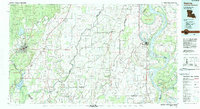 1982 Bastrop1983 Print · USGSNortheastern Louisiana and the Mississippi River Delta are captured here in the early eighties as a landscape of bayous and river towns. Genealogists and historians can trace small communities like Mer Rouge and Oak Grove or the ancient terrain of Poverty Point State Park.
 - 1986 Map of Bear Skin, 1987 Print
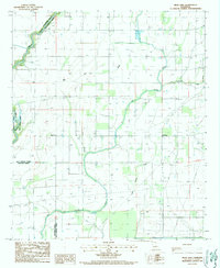 1986 Bear Skin1987 Print · USGSNortheast Louisiana’s bayou country is captured in the mid-1980s, showcasing the intersection of the Boeuf River and local parish lines. Genealogists and historians can trace rural settlements like Newhope and Bear Skin, alongside landmarks like the local Cem.
 - 2012 Map of Bear Skin, 2012 Print
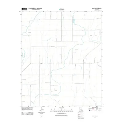 2012 Bear Skin2012 Print · USGSWest Carroll Parish in the early 2010s shows a landscape deeply tied to the Boeuf River and its network of drainage bayous. Genealogists and local historians can trace family-named routes like Bennie Fowler Rd and Alderman Rd near the settlements of Bear Skin and Newhope.
 - 2015 Map of Bear Skin, 2015 Print
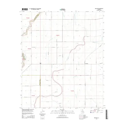 2015 Bear Skin2015 Print · USGSLouisiana's northeastern delta country is captured here in the mid-2010s, showing a landscape defined by meandering bayous and parish borders. Genealogists can trace local family footprints via Babcock Rd and Alderman Rd near the settlements of Bear Skin and Newhope.
 - 2018 Map of Bear Skin, 2018 Print
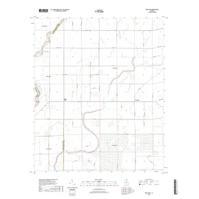 2018 Bear Skin2018 Print · USGSWest Carroll Parish in the late 2010s remains a landscape defined by its intricate watercourses and rural settlements. Researchers can trace land tracts along the Boeuf River or locate family sites near Newhope and Bear Skin.
 - 2020 Map of Bear Skin, 2020 Print
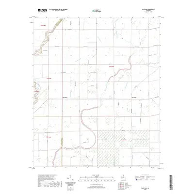 2020 Bear Skin2020 Print · USGSLouisiana's alluvial plains come to life in this survey of West Carroll Parish, showcasing the rural landscape at the start of the 2020s. Genealogists and local historians can trace the reach of Big Colewa Creek and locate family-named landmarks along Old Cawthon Rd and McCann Rd.
 - 2024 Map of Bear Skin, 2024 Print
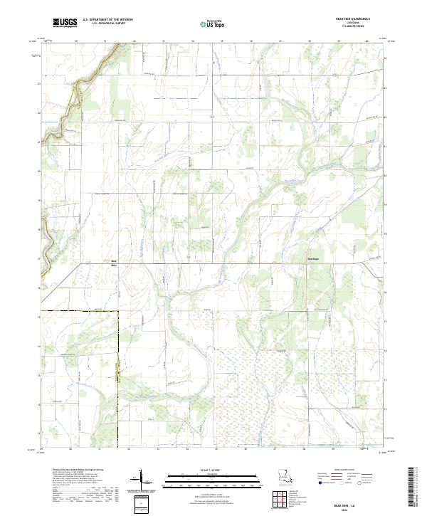 2024 Bear Skin2024 Print · USGSLouisiana's northeastern parishes are defined here by the winding Boeuf River and a network of bayous as they appeared in the early 2020s. Researchers can trace rural settlement patterns near Bear Skin and Newhope along family-named routes like Bennie Fowler Rd.
End of results
Showing maps 1-12 of 12
Top cities near Bear Skin
- Rayville historical maps
- Delhi historical maps
- Oak Grove historical maps
- Mer Rouge historical maps
- Epps historical maps
- Forest historical maps
See more
Frequently asked questions
- What are the different types of historical maps available for Bear Skin?
- What is the oldest map of Bear Skin?
- Where can I purchase historical maps of Bear Skin for my home or office?
- Where can I download high-res historical maps of Bear Skin?
- Are there historical topographic maps available for Bear Skin?
- Is there historical aerial imagery available for Bear Skin?
- Where are historical maps of Bear Skin sourced from?