2000s (21st Century) Maps of Lewiston, Maine
Explore 20 historic maps of Lewiston from the 2000s (21st Century). These maps offer a rare glimpse into what life looked like during the 2000s — showing old roads, neighborhoods, homes, and landmarks that have changed or disappeared over time.
Whether you're researching your family's past, planning a metal detecting trip, or studying how Lewiston's landscape evolved across the 2000s, these high-resolution maps are a powerful tool for exploring the history of this region.
- Focus on a specific era: All maps on this page are from the 2000s, giving you a focused view of this time period.
- See what’s changed: Compare century-old streets, trails, and buildings to today's modern landscape using overlays and satellite layers.
- Research with precision: Use these maps for genealogy, historical research, land use analysis, or educational projects.
- View, download, or print: Maps are fully viewable online in high resolution, and can be downloaded or printed for your own records.
Start exploring Lewiston's history through authentic maps from the 2000s. This is your window into the past.
Lewiston, ME maps
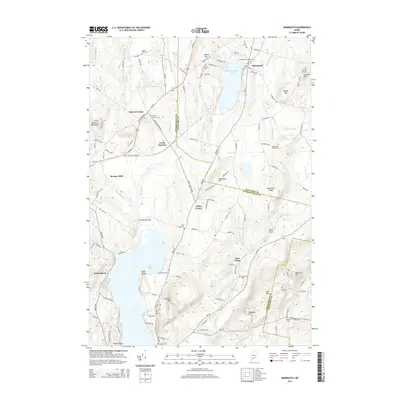
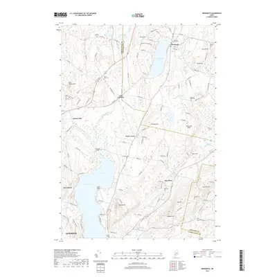
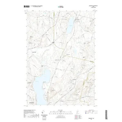
(20)- 2011 Map of Monmouth, 2011 Print
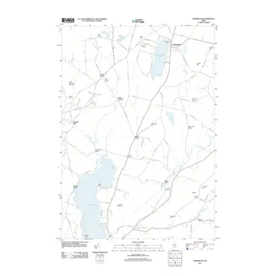 2011 Monmouth2011 Print · USGSCovers Lewiston, including Sabattus, Greene, and other nearby areas
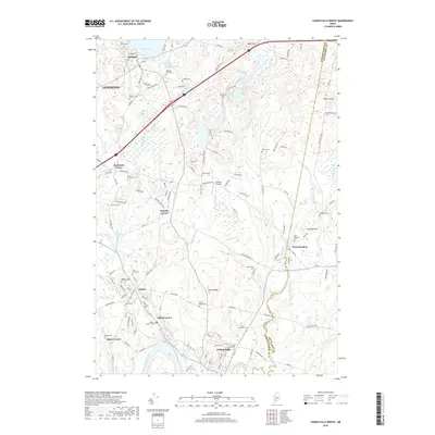
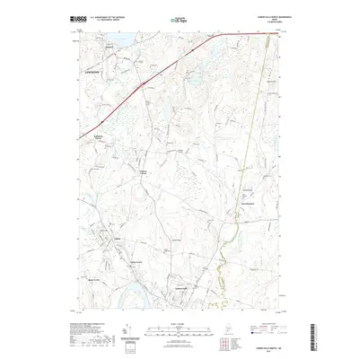
 - 2011 Map of Lisbon Falls North, 2011 Print
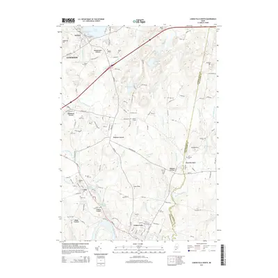
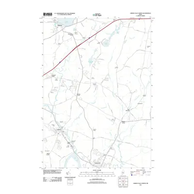 2011 Lisbon Falls North2011 Print · USGSCovers Lewiston, including Lisbon, Topsham, and other nearby areas
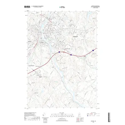
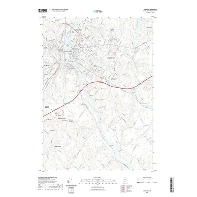
 - 2011 Map of Lewiston, 2011 Print
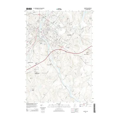
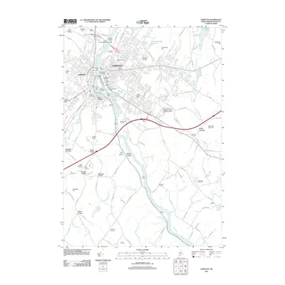 2011 Lewiston2011 Print · USGSCovers Lewiston, including Auburn, Lisbon, and other nearby areas
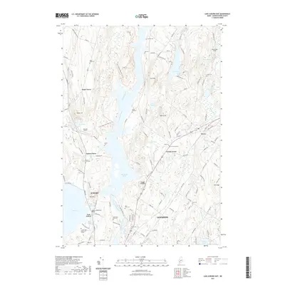
 - 2011 Map of Lake Auburn East, 2011 Print
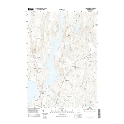
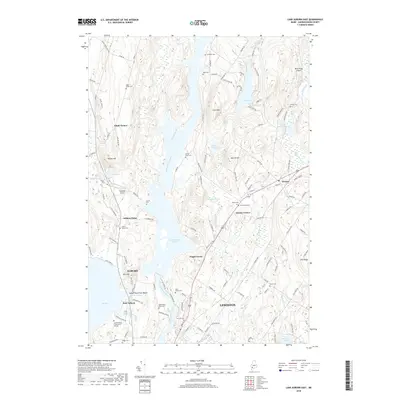
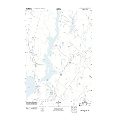 2011 Lake Auburn East2011 Print · USGSCovers Lewiston, including Auburn, Turner, and other nearby areas
 - 2014 Map of Lake Auburn East, 2014 Print
 2014 Lake Auburn East2014 Print · USGSCovers Lewiston, including Auburn, Turner, and other nearby areas
 - 2014 Map of Lewiston, 2014 Print
 2014 Lewiston2014 Print · USGSCovers Lewiston, including Auburn, Lisbon, and other nearby areas
 - 2014 Map of Lisbon Falls North, 2014 Print
 2014 Lisbon Falls North2014 Print · USGSCovers Lewiston, including Lisbon, Topsham, and other nearby areas
 - 2014 Map of Monmouth, 2014 Print
 2014 Monmouth2014 Print · USGSCovers Lewiston, including Sabattus, Greene, and other nearby areas
 - 2018 Map of Lisbon Falls North, 2018 Print
 2018 Lisbon Falls North2018 Print · USGSCovers Lewiston, including Lisbon, Topsham, and other nearby areas
 - 2018 Map of Lake Auburn East, 2018 Print
 2018 Lake Auburn East2018 Print · USGSCovers Lewiston, including Auburn, Turner, and other nearby areas
 - 2018 Map of Monmouth, 2018 Print
 2018 Monmouth2018 Print · USGSCovers Lewiston, including Sabattus, Greene, and other nearby areas
 - 2018 Map of Lewiston, 2018 Print
 2018 Lewiston2018 Print · USGSCovers Lewiston, including Auburn, Lisbon, and other nearby areas
 - 2021 Map of Lisbon Falls North, 2021 Print
 2021 Lisbon Falls North2021 Print · USGSCovers Lewiston, including Lisbon, Topsham, and other nearby areas
 - 2021 Map of Monmouth, 2021 Print
 2021 Monmouth2021 Print · USGSCovers Lewiston, including Sabattus, Greene, and other nearby areas
 - 2021 Map of Lake Auburn East, 2021 Print
 2021 Lake Auburn East2021 Print · USGSCovers Lewiston, including Auburn, Turner, and other nearby areas
 - 2021 Map of Lewiston, 2021 Print
 2021 Lewiston2021 Print · USGSCovers Lewiston, including Auburn, Lisbon, and other nearby areas
 - 2024 Map of Lisbon Falls North, 2024 Print
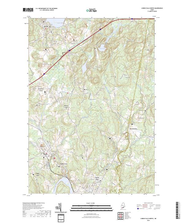 2024 Lisbon Falls North2024 Print · USGSModern Androscoggin County emerges in this detailed study of its river-fed mill towns and rural corners. Genealogists can trace family burial sites from Eaton Cem to Mount Calvary Cem or locate historic hamlets like Kettlebottom and Blake Corner.
 - 2024 Map of Monmouth, 2024 Print
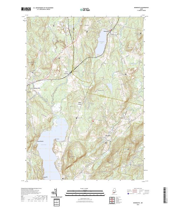 2024 Monmouth2024 Print · USGSMonmouth and the Androscoggin county line are shown in this modern survey of central Maine's lake-and-hill country. Researchers can trace family sites at Monmouth Center Cem and Leeds Junction, or locate the historic site of Sprague Mill.
 - 2024 Map of Lewiston, 2024 Print
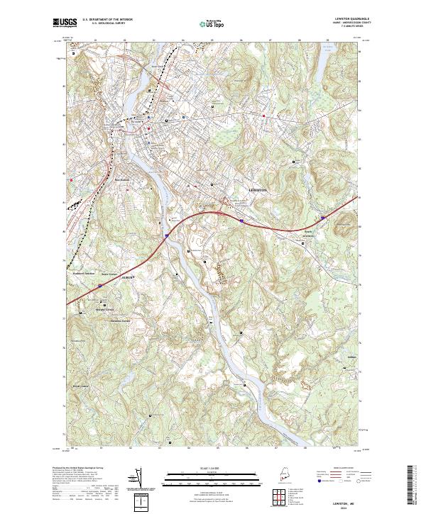 2024 Lewiston2024 Print · USGSLewiston and Auburn are shown at their modern extent along the Androscoggin River, where urban centers meet historic rural corners. Genealogists and local historians can trace family plots at Beth Abraham Cem, explore the Bates College campus, or locate old junctions like Rumford Junction.
 - 2024 Map of Lake Auburn East, 2024 Print
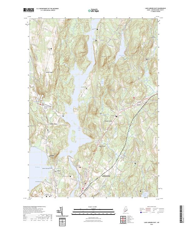 2024 Lake Auburn East2024 Print · USGSAndroscoggin County comes to life in this modern survey, showing the interconnected river communities of Lewiston and Auburn. Researchers can trace family sites at Saint Peters Catholic Cem, Gracelawn Memorial Park, and the hilltop settlement of South Turner.
End of results
Showing maps 1-20 of 20
Top cities near Lewiston
- Auburn historical maps
- Brunswick historical maps
- Windham historical maps
- Lisbon historical maps
- Topsham historical maps
- Freeport historical maps
See more
Top neighborhoods of Lewiston
Frequently asked questions
- What are the different types of historical maps available for Lewiston?
- What is the oldest map of Lewiston?
- Where can I purchase historical maps of Lewiston for my home or office?
- Where can I download high-res historical maps of Lewiston?
- Are there historical topographic maps available for Lewiston?
- Is there historical aerial imagery available for Lewiston?
- Where are historical maps of Lewiston sourced from?