Old Maps of Lewiston, Maine for Genealogy
Trace your family roots with 34 historic maps of Lewiston. These high-res maps reveal old neighborhoods, homesites, landmarks, and streets — helping you uncover where your ancestors lived and how the area evolved over time.
- Explore historic neighborhoods: Identify where your relatives may have lived in the 1800s or 1900s.
- Compare maps over time: Trace the changes in streets, buildings, and landmarks for multi-generational research.
- Perfect for genealogy & ancestry research: Used by family historians and researchers to map out lineage and migration.
These maps are an incredible resource for exploring your personal connection to Lewiston's past.
Lewiston, ME maps
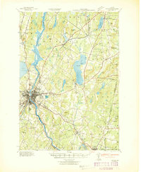
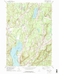
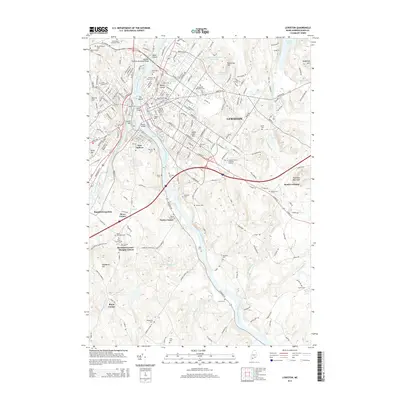
(34)- 1908 Map of Lewiston
 1908 Lewiston1908 Print · USGSAndroscoggin County at the start of the century shows a thriving industrial corridor centered on the twin cities and the river. Genealogists can trace family farms and local institutions near Sabattus Pond, Bates College, and Lisbon Falls.6 unique versions available
 - 1942 Map of Lewiston
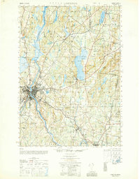
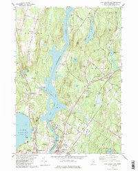
 1942 Lewiston1942 Print · USGSLewiston and the Androscoggin River valley are shown in detail during the early 1940s, capturing the area's transition from industrial hubs to rural crossroads. Researchers can locate early schoolhouses like No Name Sch, the campus of Bates College, and vanished rail stops at Golder Siding and Leeds Junc.
 - 1950 Map of Lewiston
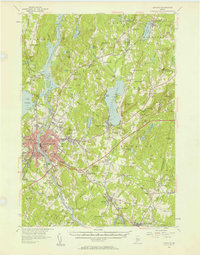
 1950 Lewiston1950 Print · USGSAndroscoggin County at mid-century shows a landscape of busy industrial centers and quiet crossroad hamlets connected by the river. Genealogists can trace family names at Jordan Corners or Blake Corners and locate rural landmarks like Sprague Mill and Ridge Sch.
 - 1950 Map of Lewiston
 1950 Lewiston1950 Print · USGSThe Maine and New Hampshire borderlands come alive in this post-war survey of the White Mountains and Androscoggin valley. Genealogists and historians can trace rail lines like the Maine Central Railroad and find high-altitude landmarks from Mount Washington to Bretton Woods.2 unique versions available
 - 1956 Map of Lewiston, 1958 Print
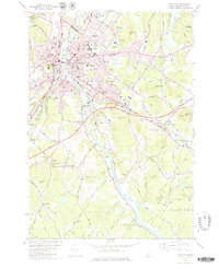
 1956 Lewiston1958 Print · USGSThe industrial twin cities of Lewiston and Auburn thrive along the Androscoggin River during the mid-fifties. Genealogists and historians can trace the legacy of Bates College, the busy Maine Central Railroad corridors, and dozens of rural burying grounds like St Peters Cem.4 unique versions available
 - 1956 Map of Lewiston, 1975 Print
 1956 Lewiston1975 Print · USGSThe Northern New England interior is documented here in the mid-fifties, from the industrial Androscoggin River to the high peaks of the White Mountains. Trace the Grand Trunk Railway through mountain passes or locate family landmarks near Sabbathday Lake and Bretton Woods.
 - 1961 Map of Lewiston
 1961 Lewiston1961 Print · USGSWestern Maine and the White Mountains appear here during the early sixties, showing the industrial river towns and vast timberlands before the modern interstate era. Genealogists and historians can trace the Grand Trunk RR through Berlin or locate landmarks like Old Speck Mountain and Elephant Mountain.
 - 1962 Map of Lewiston
 1962 Lewiston1962 Print · USGSThe industrial river valleys and high peaks of Maine and New Hampshire define the region in the early sixties. Trace the rail-and-river network from Lewiston to the White Mountains, passing through mill towns like Berlin and Rumford.
 - 1969 Map of Lewiston
 1969 Lewiston1969 Print · USGSThe northern New England highlands come into focus during the mid-fifties, showing the vital rail and river networks connecting industrial centers to the deep woods. Researchers can trace the path of the Grand Trunk RR or locate landmarks like Mt Washington and Rangeley Lake.
 - 1979 Map of Lewiston
 1979 Lewiston1979 Print · USGSThe twin cities of Lewiston and Auburn are shown in the late seventies as they grew along the Androscoggin River. Researchers can locate many family-named crossroads and burial sites, including Penley Corner, Beth Abraham Cem, and Royal Corner.2 unique versions available
 - 1979 Map of Monmouth
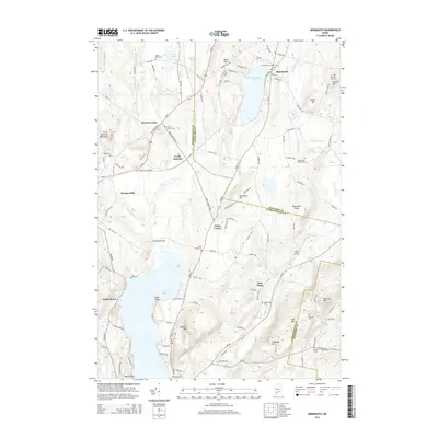
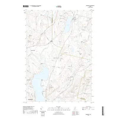
 1979 Monmouth1979 Print · USGSAndroscoggin and Kennebec Counties are shown in the late seventies as a landscape of interconnected ponds, ridges, and small rail-side hamlets. Genealogists can locate family sites near Leeds Plain Cem, the old Sprague Mill, or the community hub at Wales Corner.
 - 1979 Map of Lake Auburn East
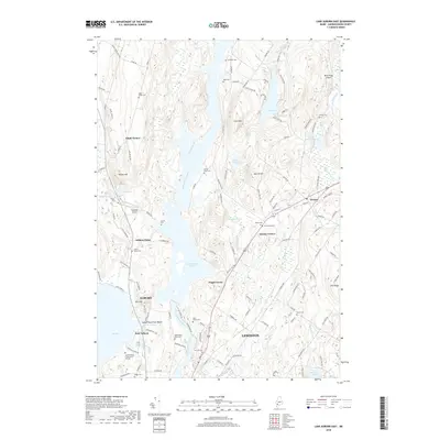
 1979 Lake Auburn East1979 Print · USGSAndroscoggin County comes into focus in the late seventies, showing the river-driven industry and rural townships of the Lewiston-Auburn area. Genealogists and local historians can trace family plots at St Peters Cem or Valley Cem and locate landmarks like the Greene Central Sch.
 - 1979 Map of Lisbon Falls North
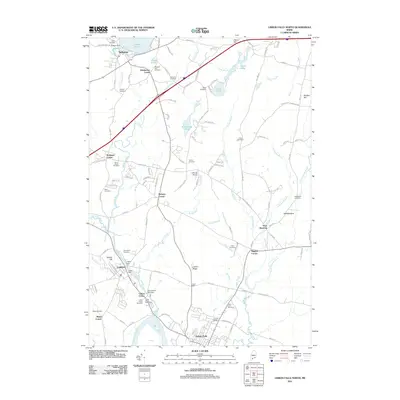
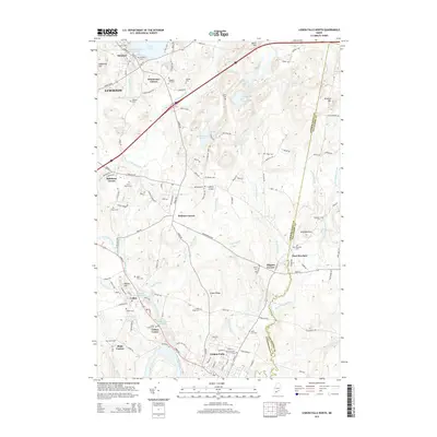
 1979 Lisbon Falls North1979 Print · USGSLisbon and Sabattus appear at a crossroads of industry and tradition in the late seventies as the river-driven economy continued to shape the county. Researchers can trace family roots through numerous small burial grounds like Furbush Cem and Spear Cem or locate the old Webster School.3 unique versions available
 - 1986 Map of Lewiston
 1986 Lewiston1986 Print · USGSMaine’s industrial river valleys and western mountain foothills are captured here in the mid-eighties as rail and road networks tied the region together. Genealogists and historians can trace the development of mill towns and lakefront settlements from Lisbon to Bethel, following the Androscoggin River and the path of the Maine Central Railroad.2 unique versions available
 - 2011 Map of Monmouth, 2011 Print
 2011 Monmouth2011 Print · USGSCovers Lewiston, including Sabattus, Greene, and other nearby areas
 - 2011 Map of Lisbon Falls North, 2011 Print
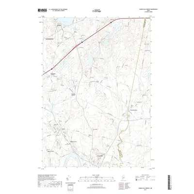
 2011 Lisbon Falls North2011 Print · USGSCovers Lewiston, including Lisbon, Topsham, and other nearby areas
 - 2011 Map of Lewiston, 2011 Print
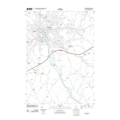 2011 Lewiston2011 Print · USGSCovers Lewiston, including Auburn, Lisbon, and other nearby areas
 - 2011 Map of Lake Auburn East, 2011 Print
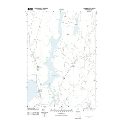 2011 Lake Auburn East2011 Print · USGSCovers Lewiston, including Auburn, Turner, and other nearby areas
 - 2014 Map of Lake Auburn East, 2014 Print
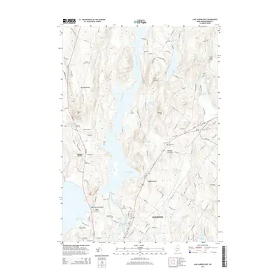 2014 Lake Auburn East2014 Print · USGSCovers Lewiston, including Auburn, Turner, and other nearby areas
 - 2014 Map of Lewiston, 2014 Print
 2014 Lewiston2014 Print · USGSCovers Lewiston, including Auburn, Lisbon, and other nearby areas
 - 2014 Map of Lisbon Falls North, 2014 Print
 2014 Lisbon Falls North2014 Print · USGSCovers Lewiston, including Lisbon, Topsham, and other nearby areas
 - 2014 Map of Monmouth, 2014 Print
 2014 Monmouth2014 Print · USGSCovers Lewiston, including Sabattus, Greene, and other nearby areas
 - 2018 Map of Lisbon Falls North, 2018 Print
 2018 Lisbon Falls North2018 Print · USGSCovers Lewiston, including Lisbon, Topsham, and other nearby areas
 - 2018 Map of Lake Auburn East, 2018 Print
 2018 Lake Auburn East2018 Print · USGSCovers Lewiston, including Auburn, Turner, and other nearby areas
 - 2018 Map of Monmouth, 2018 Print
 2018 Monmouth2018 Print · USGSCovers Lewiston, including Sabattus, Greene, and other nearby areas
Showing maps 1-25 of 34
Top cities near Lewiston
- Auburn historical maps
- Brunswick historical maps
- Windham historical maps
- Lisbon historical maps
- Topsham historical maps
- Freeport historical maps
See more
Top neighborhoods of Lewiston
Frequently asked questions
- What are the different types of historical maps available for Lewiston?
- What is the oldest map of Lewiston?
- Where can I purchase historical maps of Lewiston for my home or office?
- Where can I download high-res historical maps of Lewiston?
- Are there historical topographic maps available for Lewiston?
- Is there historical aerial imagery available for Lewiston?
- Where are historical maps of Lewiston sourced from?