Old Maps of Livermore Falls, Maine
Explore 33 old maps of Livermore Falls, spanning from 1910 to today. These high-resolution historic maps reveal how streets, neighborhoods, landmarks, and natural features evolved over time — perfect for genealogy, metal detecting, research, and local history exploration.
What you can do with these maps:
- See how Livermore Falls changed over time: Compare historical maps to modern-day views to trace roads, homesites, rail lines & more.
- View detailed metadata: Each map includes creators, publishers, year, scale, and archive source.
- Overlay maps with satellite & LiDAR: Visualize the past alongside modern tools to explore terrain & human change.
- Trusted historical sources: Maps sourced from the USGS, Library of Congress, and other archives.
- Access maps your way: View online, download high-res files, or order prints for personal or research use.
Start exploring old maps of Livermore Falls to uncover forgotten places, hidden landmarks, and the deep history beneath your feet.
Livermore Falls, ME maps
(33)- 1910 Map of Livermore, 1959 Print
 1910 Livermore1959 Print · USGSMaine's river valleys and lake districts are captured here in the early twentieth century, showing a network of rail-reliant mill towns and rural crossroads. Genealogists can locate family landmarks like Howes Corner and Brettuns Mills, or trace local schools like Saunders School.
 - 1912 Map of Livermore
 1912 Livermore1912 Print · USGSMaine's lake district comes to life in this pre-war survey of the Androscoggin River valley. Genealogists and historians can trace old homesteads and landmarks like Brettuns Mills Livermore P O, Strickland Ferry, and Monmouth Academy.5 unique versions available
 - 1941 Map of Livermore
 1941 Livermore1941 Print · USGSAndroscoggin County at the start of the 1940s is a landscape defined by the river and rail economy between Livermore Falls and Wayne. Genealogists can trace family footprints across numerous rural districts, locating Brettuns Mills and the many schoolhouses like Young Sch and Pike Sch.
 - 1950 Map of Lewiston
 1950 Lewiston1950 Print · USGSThe Maine and New Hampshire borderlands come alive in this post-war survey of the White Mountains and Androscoggin valley. Genealogists and historians can trace rail lines like the Maine Central Railroad and find high-altitude landmarks from Mount Washington to Bretton Woods.2 unique versions available
 - 1956 Map of Lewiston, 1975 Print
 1956 Lewiston1975 Print · USGSThe Northern New England interior is documented here in the mid-fifties, from the industrial Androscoggin River to the high peaks of the White Mountains. Trace the Grand Trunk Railway through mountain passes or locate family landmarks near Sabbathday Lake and Bretton Woods.
 - 1961 Map of Lewiston
 1961 Lewiston1961 Print · USGSWestern Maine and the White Mountains appear here during the early sixties, showing the industrial river towns and vast timberlands before the modern interstate era. Genealogists and historians can trace the Grand Trunk RR through Berlin or locate landmarks like Old Speck Mountain and Elephant Mountain.
 - 1962 Map of Lewiston
 1962 Lewiston1962 Print · USGSThe industrial river valleys and high peaks of Maine and New Hampshire define the region in the early sixties. Trace the rail-and-river network from Lewiston to the White Mountains, passing through mill towns like Berlin and Rumford.
 - 1966 Map of Wayne, 1968 Print
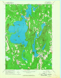 1966 Wayne1968 Print · USGSKennebec County’s lake country is captured in the mid-1960s, showing the vital connection between its waterfront villages and the rail corridor. Researchers can trace the layout of Wayne and North Monmouth, or locate local landmarks like Monmouth Academy and the Lookout Tower atop Mt Pisgah.3 unique versions available
 - 1966 Map of Fayette, 1968 Print
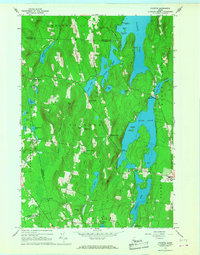 1966 Fayette1968 Print · USGSThe Kennebec County lake country is captured here in the mid-sixties, showing a landscape defined by seasonal camps and traditional crossroads settlements. Genealogists and local historians can locate Kent Cem, the old works at Richmond Mill, and Twelve Corners.2 unique versions available
 - 1967 Map of Turner Center, 1969 Print
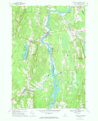 1967 Turner Center1969 Print · USGSThe Androscoggin River valley in the late sixties reveals a network of riverside settlements and rural crossroads. Genealogists and local historians can trace family locations near Maple Grove Cemetery, the Junior High School in Turner Center, or the old landings at Keens Mills.2 unique versions available
 - 1967 Map of Livermore Falls, 1970 Print
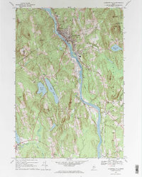 1967 Livermore Falls1970 Print · USGSIn the late sixties, the industrial activity along the Androscoggin River and the Maine Central rail line defined this corner of Maine. Researchers can trace ancestral roots at Lakeside Cem or locate old landmarks like Bowman Field and Chisholm.2 unique versions available
 - 1969 Map of Lewiston
 1969 Lewiston1969 Print · USGSThe northern New England highlands come into focus during the mid-fifties, showing the vital rail and river networks connecting industrial centers to the deep woods. Researchers can trace the path of the Grand Trunk RR or locate landmarks like Mt Washington and Rangeley Lake.
 - 1986 Map of Lewiston
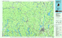 1986 Lewiston1986 Print · USGSMaine’s industrial river valleys and western mountain foothills are captured here in the mid-eighties as rail and road networks tied the region together. Genealogists and historians can trace the development of mill towns and lakefront settlements from Lisbon to Bethel, following the Androscoggin River and the path of the Maine Central Railroad.2 unique versions available
 - 2011 Map of Turner Center, 2011 Print
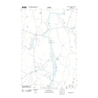 2011 Turner Center2011 Print · USGSAndroscoggin County at the start of the 2010s reveals a network of river-linked hamlets and historic burying grounds. Genealogists and local historians can trace the foundations of Turner Center or find family markers at Keens Mills Cemetery and West Leeds Cemetery.
 - 2011 Map of Fayette, 2011 Print
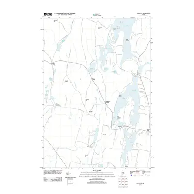 2011 Fayette2011 Print · USGSCentral Maine's lake-strewn interior comes into focus during this early 21st-century survey of the Fayette area. Researchers can trace local heritage through sites like Kent Cemetery, the water-driven history at Richmond Mill, and the small community at Twelve Corners.
 - 2011 Map of Wayne, 2011 Print
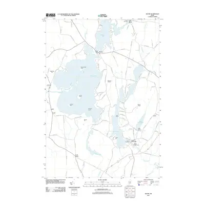 2011 Wayne2011 Print · USGSMaine’s lake country is captured here during the early twenty-first century, showing the established village centers of Wayne and North Monmouth. Researchers can trace old family burial sites at Wing Cemetery and Glenside Cemetery or locate historic water controls like the Wayne Village Dam.
 - 2011 Map of Livermore Falls, 2011 Print
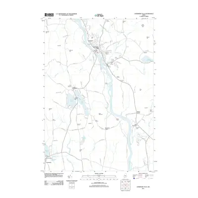 2011 Livermore Falls2011 Print · USGSThe industrial corridor of the Androscoggin River and the surrounding Maine highlands are shown here in the early twenty-first century. Genealogists and historians can trace numerous burial sites like Stones Corner Cemetery or locate landmarks such as Otis Dam and Bowman Field.
 - 2014 Map of Wayne, 2014 Print
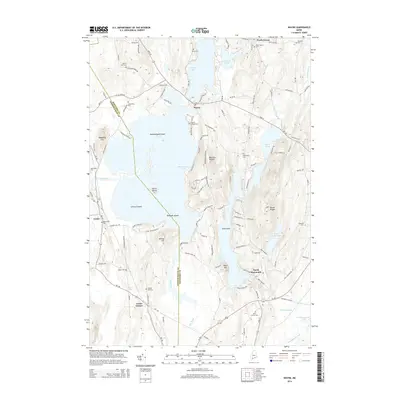 2014 Wayne2014 Print · USGSMaine's lake country is captured here in the early twenty-first century, centered on the waters and islands of Androscoggin Lake. Genealogists and local historians can trace legacy sites like the Old Indian Cem, North Wayne Yard, and the early settlement at Curtis Corner.
 - 2014 Map of Fayette, 2014 Print
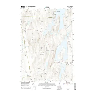 2014 Fayette2014 Print · USGSCentral Maine's pond-laced landscape is captured here in the early twenty-first century, showing the rural character of Kennebec and Androscoggin counties. Genealogists can locate family sites at Fayette Mills Cem, Kent Cem, and the settlement at Richmond Mill.
 - 2014 Map of Turner Center, 2014 Print
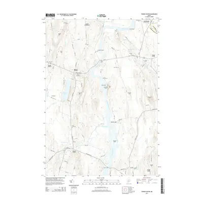 2014 Turner Center2014 Print · USGSThe rural river valley at the Androscoggin and Kennebec county line is captured here in the early twenty-first century. Researchers can locate numerous local burial sites and landmarks like Maple Grove Cem, Turner Bridge, and the community of Howes Corner.
 - 2014 Map of Livermore Falls, 2014 Print
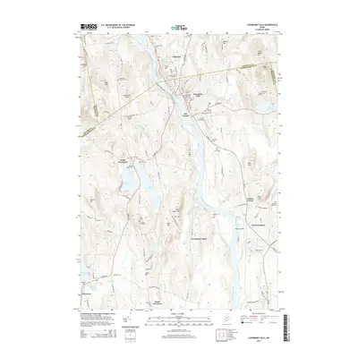 2014 Livermore Falls2014 Print · USGSThe Androscoggin River corridor comes into sharp focus during this period, showing the industrial heart of Livermore Falls and surrounding hill farms. Researchers can trace dozens of local burial sites like Fruitland Cem and Waters Hill Cem, alongside rural landmarks like Bowman Field.
 - 2018 Map of Livermore Falls, 2018 Print
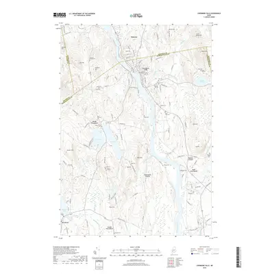 2018 Livermore Falls2018 Print · USGSThe industrial corridor of the Androscoggin River meets a landscape of family farms and rural peaks in this contemporary Maine survey. Researchers can locate numerous ancestral burial sites including Treat Cem and Waters Hill Cem, alongside small hubs like Haines Corner.
 - 2018 Map of Wayne, 2018 Print
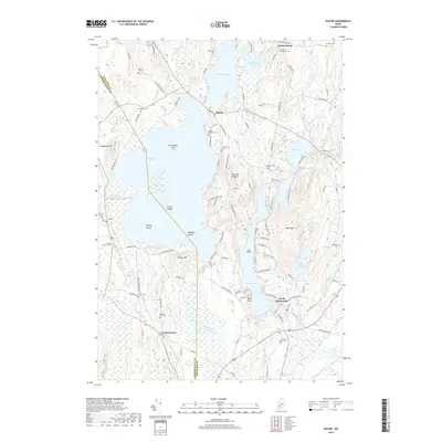 2018 Wayne2018 Print · USGSKennebec County’s lake country is captured here in the late twenty-tens, showing the historic villages of Wayne and North Wayne surrounded by expansive water bodies. Researchers can locate numerous family burial grounds including Evergreen Cem and Lakeshore Cem, or trace the winding course of Wilson Stream.
 - 2018 Map of Turner Center, 2018 Print
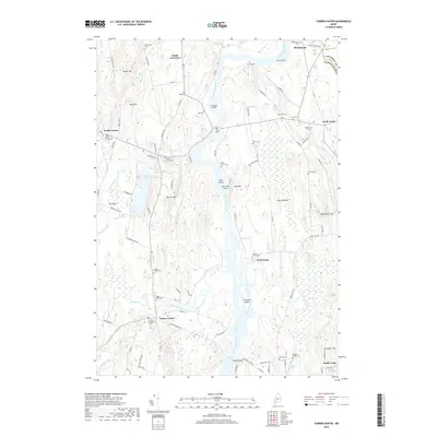 2018 Turner Center2018 Print · USGSAndroscoggin County river communities are captured here in the late twenty-teens, showing the enduring rural character of the region. Researchers can trace family history through dozens of local burial sites like River Grove Cem or locate old crossings along the Androscoggin River and Nezinscot River.
 - 2018 Map of Fayette, 2018 Print
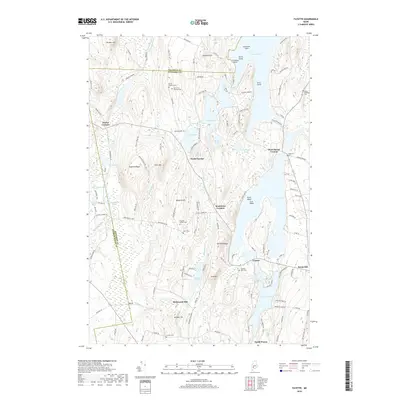 2018 Fayette2018 Print · USGSMaine's lake country in Kennebec County appears here with its dense network of glacial ponds and historic upland settlements. Genealogists can locate numerous burial sites like Old North Fayette Cem and Kent Cem, while tracing the rural landscape of Twelve Corners and Richmond Mill.
Showing maps 1-25 of 33
Top cities near Livermore Falls
- Farmington historical maps
- Winthrop historical maps
- Turner historical maps
- Jay historical maps
- Greene historical maps
- Monmouth historical maps
See more
Top neighborhoods of Livermore Falls
- East Livermore historical maps
- Shy Corner historical maps
- Stricklands historical maps
- Haines Corner historical maps
Frequently asked questions
- What are the different types of historical maps available for Livermore Falls?
- What is the oldest map of Livermore Falls?
- Where can I purchase historical maps of Livermore Falls for my home or office?
- Where can I download high-res historical maps of Livermore Falls?
- Are there historical topographic maps available for Livermore Falls?
- Is there historical aerial imagery available for Livermore Falls?
- Where are historical maps of Livermore Falls sourced from?