Old Maps of Minot, Maine for Academic Research
Study the evolution of Minot with 35 high-resolution historic maps. Whether you're teaching, researching, or modeling changes in land use, these maps provide essential visual documentation of urban, environmental, and geographic change.
- Analyze long-term change: Track patterns in development, transportation, and natural features.
- Ideal for environmental or urban studies: Support academic projects with primary historical map data.
- Use in the classroom or lab: Educators and researchers rely on these maps to bring historical context to life.
These maps are a powerful tool for teaching, research, and visualizing how Minot has changed over the decades.
Minot, ME maps
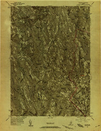
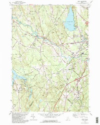
(35)- 1908 Map of Poland
 1908 Poland1908 Print · USGSAndroscoggin County was a thriving hub of rail transport and lakeside resorts in the early nineteen-hundreds. Here you can trace the historic Grand Trunk Railway corridor through Mechanic Falls and locate the famous Poland Spring resort grounds.5 unique versions available
 - 1940 Map of Poland, 1942 Print
 1940 Poland1942 Print · USGSMaine's river valleys and rail junctions come to life in the 1940s as the region's industrial and rural networks are captured in detail. Genealogists can trace family landmarks like Hebron Sta P O, the Sanitarium, and the busy hub at Mechanic Falls.
 - 1942 Map of Poland
 1942 Poland1942 Print · USGSSouth-central Maine is captured here in the early 1940s, showing a landscape of rail-linked mill towns and hilltop farms. Genealogists can trace family names at Hebron Sta P O, Danville Corner, and the Empire Grove Campground.
 - 1950 Map of Lewiston
 1950 Lewiston1950 Print · USGSThe Maine and New Hampshire borderlands come alive in this post-war survey of the White Mountains and Androscoggin valley. Genealogists and historians can trace rail lines like the Maine Central Railroad and find high-altitude landmarks from Mount Washington to Bretton Woods.2 unique versions available
 - 1956 Map of Poland, 1958 Print
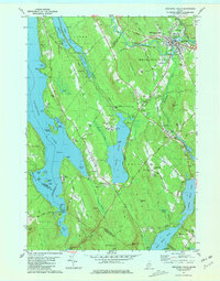
 1956 Poland1958 Print · USGSMid-Maine's river valleys and hillsides are documented here during the mid-fifties, featuring a landscape of paper mills, sanatoriums, and rural hamlets. Researchers can trace the busy rail junctions at Danville Jct or locate the historic resort grounds at Poland Spring.4 unique versions available
 - 1956 Map of Lewiston, 1975 Print
 1956 Lewiston1975 Print · USGSThe Northern New England interior is documented here in the mid-fifties, from the industrial Androscoggin River to the high peaks of the White Mountains. Trace the Grand Trunk Railway through mountain passes or locate family landmarks near Sabbathday Lake and Bretton Woods.
 - 1961 Map of Lewiston
 1961 Lewiston1961 Print · USGSWestern Maine and the White Mountains appear here during the early sixties, showing the industrial river towns and vast timberlands before the modern interstate era. Genealogists and historians can trace the Grand Trunk RR through Berlin or locate landmarks like Old Speck Mountain and Elephant Mountain.
 - 1962 Map of Lewiston
 1962 Lewiston1962 Print · USGSThe industrial river valleys and high peaks of Maine and New Hampshire define the region in the early sixties. Trace the rail-and-river network from Lewiston to the White Mountains, passing through mill towns like Berlin and Rumford.
 - 1969 Map of Lewiston
 1969 Lewiston1969 Print · USGSThe northern New England highlands come into focus during the mid-fifties, showing the vital rail and river networks connecting industrial centers to the deep woods. Researchers can trace the path of the Grand Trunk RR or locate landmarks like Mt Washington and Rangeley Lake.
 - 1980 Map of Oxford, 1981 Print
 1980 Oxford1981 Print · USGSOxford and Hebron come alive in the 1970s, showcasing a landscape of upland academy life, family farms, and river industry. Genealogists and historians can trace Hebron Academy, the Canadian National rail line, and family landmarks like Sam Rowe Hill Cem.2 unique versions available
 - 1981 Map of Mechanic Falls
 1981 Mechanic Falls1981 Print · USGSAndroscoggin County comes to life in the early 1980s as a region of mills, rails, and recreational waters. Genealogists and local historians can trace the foundations of Mechanic Falls or locate the White Oak Hill Ch and Tenney Cem near the shores of Tripp Pond.
 - 1981 Map of Lake Auburn West
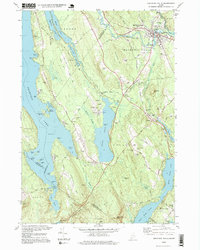
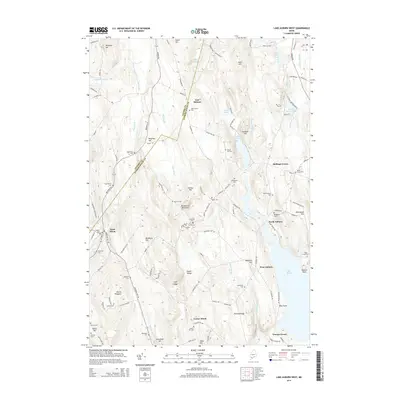
 1981 Lake Auburn West1981 Print · USGSAndroscoggin County was a landscape of small hills and lakeside settlements in the early 1980s. You can trace the path of the Old Railroad Grade or locate local burial sites such as North Auburn Cem and Brookvale Cem.2 unique versions available
 - 1981 Map of Minot
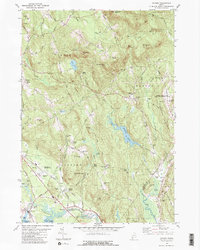
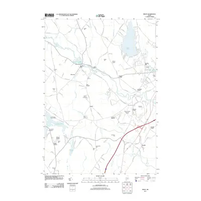
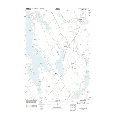
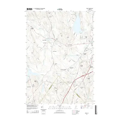
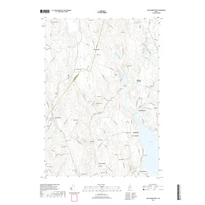
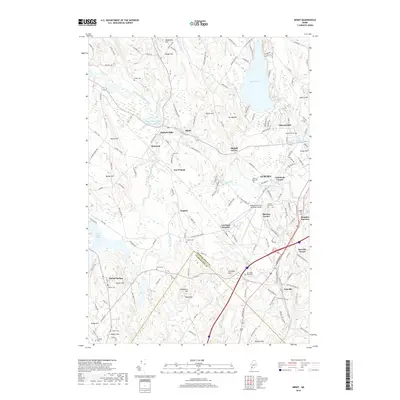
 1981 Minot1981 Print · USGSIn the early eighties, the river valleys and hilltops of Androscoggin County show a landscape shaped by rail, water, and early aviation. Genealogists and historians can trace family locations through Mt Auburn Cem, locate the Moussam Sch, or follow the Maine Central railroad line through Danville.
 - 1986 Map of Lewiston
 1986 Lewiston1986 Print · USGSMaine’s industrial river valleys and western mountain foothills are captured here in the mid-eighties as rail and road networks tied the region together. Genealogists and historians can trace the development of mill towns and lakefront settlements from Lisbon to Bethel, following the Androscoggin River and the path of the Maine Central Railroad.2 unique versions available
 - 1995 Map of Mechanic Falls, 1999 Print
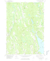
 1995 Mechanic Falls1999 Print · USGSSouthern Maine in the mid-nineties shows a landscape of river-driven industry and growing lakefront communities at the meeting of three counties. Researchers can locate family sites near West Poland, trace the Grand Trunk RR, or find Highland Cem and Elm Street Sch.
 - 2011 Map of Minot, 2011 Print
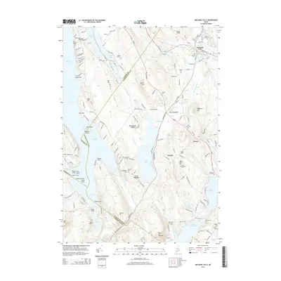
 2011 Minot2011 Print · USGSCovers Minot, including Auburn, Poland, and other nearby areas
 - 2011 Map of Lake Auburn West, 2011 Print
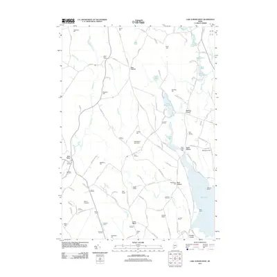 2011 Lake Auburn West2011 Print · USGSCovers Minot, including Auburn, Turner, and other nearby areas
 - 2011 Map of Oxford, 2011 Print
 2011 Oxford2011 Print · USGSCovers Minot, including Paris, Oxford, and other nearby areas
 - 2011 Map of Mechanic Falls, 2011 Print
 2011 Mechanic Falls2011 Print · USGSCovers Minot, including Poland, New Gloucester, and other nearby areas
 - 2014 Map of Oxford, 2014 Print
 2014 Oxford2014 Print · USGSCovers Minot, including Paris, Oxford, and other nearby areas
 - 2014 Map of Mechanic Falls, 2014 Print
 2014 Mechanic Falls2014 Print · USGSCovers Minot, including Poland, New Gloucester, and other nearby areas
 - 2014 Map of Minot, 2014 Print
 2014 Minot2014 Print · USGSCovers Minot, including Auburn, Poland, and other nearby areas
 - 2014 Map of Lake Auburn West, 2014 Print
 2014 Lake Auburn West2014 Print · USGSCovers Minot, including Auburn, Turner, and other nearby areas
 - 2018 Map of Lake Auburn West, 2018 Print
 2018 Lake Auburn West2018 Print · USGSCovers Minot, including Auburn, Turner, and other nearby areas
 - 2018 Map of Minot, 2018 Print
 2018 Minot2018 Print · USGSCovers Minot, including Auburn, Poland, and other nearby areas
Showing maps 1-25 of 35
Top cities near Minot
- Lewiston historical maps
- Auburn historical maps
- Lisbon historical maps
- Freeport historical maps
- Gray historical maps
- Turner historical maps
See more
Top neighborhoods of Minot
Frequently asked questions
- What are the different types of historical maps available for Minot?
- What is the oldest map of Minot?
- Where can I purchase historical maps of Minot for my home or office?
- Where can I download high-res historical maps of Minot?
- Are there historical topographic maps available for Minot?
- Is there historical aerial imagery available for Minot?
- Where are historical maps of Minot sourced from?