Old Maps of East Lyndon, Caribou
Explore 13 old maps of East Lyndon, spanning from 1930 to today. These high-resolution historic maps reveal how streets, neighborhoods, landmarks, and natural features evolved over time — perfect for genealogy, metal detecting, research, and local history exploration.
What you can do with these maps:
- See how East Lyndon changed over time: Compare historical maps to modern-day views to trace roads, homesites, rail lines & more.
- View detailed metadata: Each map includes creators, publishers, year, scale, and archive source.
- Overlay maps with satellite & LiDAR: Visualize the past alongside modern tools to explore terrain & human change.
- Trusted historical sources: Maps sourced from the USGS, Library of Congress, and other archives.
- Access maps your way: View online, download high-res files, or order prints for personal or research use.
Start exploring old maps of East Lyndon to uncover forgotten places, hidden landmarks, and the deep history beneath your feet.
East Lyndon, Caribou maps
(13)- 1930 Map of Fort Fairfield
 1930 Fort Fairfield1930 Print · USGSThe international border of Aroostook County comes into focus in the 1930s, showing a landscape of rail-driven agriculture and rural school districts. Genealogists and historians can trace family-named landmarks like Cote Corner, Noyes Mill, and the Riverside Cemetery.
 - 1933 Map of Fort Fairfield
 1933 Fort Fairfield1933 Print · USGSAroostook County was a thriving hub of rail and river commerce in the early thirties. Genealogists can trace family names across dozens of rural schoolhouses and landmarks like Grimes Mill, Findlen Sch, and Riverside Cem.3 unique versions available
 - 1951 Map of Fort Fairfield, 1952 Print
 1951 Fort Fairfield1952 Print · USGSAroostook County's borderlands come alive in this mid-century survey, showing the busy rail-and-river network connecting Maine to New Brunswick. Genealogists and historians can trace family-named corners and rural schoolhouses such as Kelly Sch, Grimes Mill, and the State Fish Hatchery.5 unique versions available
 - 1959 Map of Woodstock, 1975 Print
 1959 Woodstock1975 Print · USGSNorthern Maine and New Brunswick meet along the river valleys in the late fifties, showcasing an era of international rail and river commerce. Genealogists can trace family roots through border towns like Woodstock and Houlton, or along the lines of the Bangor & Aroostook railroad.
 - 1963 Map of Woodstock
 1963 Woodstock1963 Print · USGSThe Maine-New Brunswick borderlands come alive in the early sixties, showing the vital river-and-rail connection between Houlton and Woodstock. Genealogists and historians can trace the paths of the Canadian Pacific RR and locate rural communities like Stickney and Upper Kent.
 - 1975 Map of Fort Fairfield SW, 1981 Print
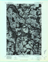 1975 Fort Fairfield SW1981 Print · USGSAroostook County's legendary farm country is revealed in this mid-seventies aerial survey of the river valleys east of Caribou. Genealogists and historians can trace the homesteads and crossroads of Grimes Mill, East Lyndon, and Goodwin.
 - 1984 Map of Goodwin, 1985 Print
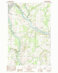 1984 Goodwin1985 Print · USGSAroostook County's river-and-rail corridor is captured here in the early 1980s, showing the intersection of international rail lines and local agriculture. Researchers can trace family history through several burial sites like Walton Cem or explore sites like the Loran Coast Guard Station and Grimes Mill.
 - 1993 Map of Fort Fairfield
 1993 Fort Fairfield1993 Print · USGSThe Aroostook River valley is shown at a pivotal moment in the 1990s as it spans the international border between Maine and New Brunswick. Genealogists and local historians can trace the extent of Loring Air Force Base or locate rural crossroads like Grimes Mill and Sawyer Corner.
 - 2011 Map of Goodwin, 2011 Print
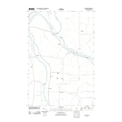 2011 Goodwin2011 Print · USGSAroostook County's river-driven geography is on full display here in the early twenty-first century, showing a landscape of small crossroads and riverside hamlets. Genealogists and local historians can trace family locations near Grimes Mill, Maysville, and the Old Catholic Cemetery.
 - 2014 Map of Goodwin, 2014 Print
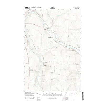 2014 Goodwin2014 Print · USGSThe rural corridor between Caribou and Presque Isle is shown in detail during the early twenty-first century. Genealogists and local historians can trace small settlements like Houghtonville and locate numerous burial sites such as Lyndon Center Cem and Doyle Cem.
 - 2018 Map of Goodwin, 2018 Print
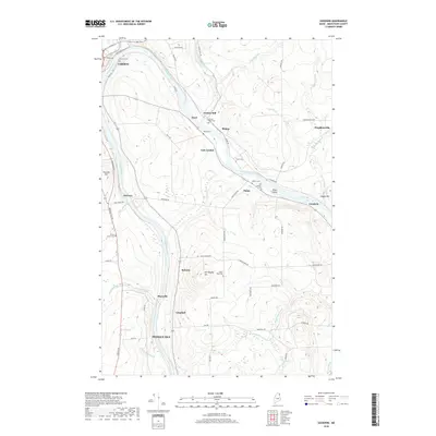 2018 Goodwin2018 Print · USGSAroostook County's river-and-rail landscape is captured here in the late twenty-teens, showing the rural corridor between Caribou and Presque Isle. Genealogists can locate numerous local burial sites like Cochran Cem and Walton Cem or trace the old sidings at McGraw and Goodwin.
 - 2021 Map of Goodwin, 2021 Print
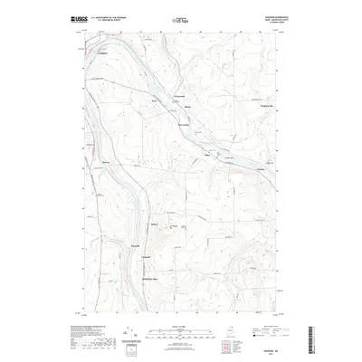 2021 Goodwin2021 Print · USGSNorthern Maine's river-driven landscape comes alive in this contemporary survey of the valley between Caribou and Presque Isle. Researchers can trace historic family burial sites like Old Catholic Cem and Bubar Cem or locate the site of Grimes Mill along the Aroostook River.
 - 2024 Map of Goodwin, 2024 Print
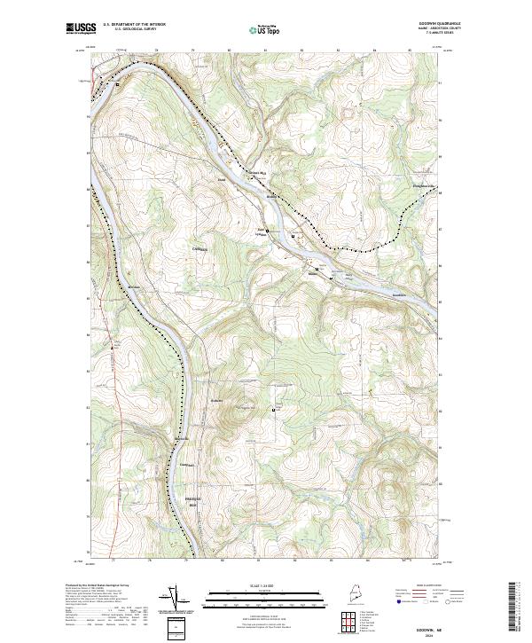 2024 Goodwin2024 Print · USGSAroostook County's river-driven development is on display here during the early twenty-first century. Genealogists and local historians can trace legacy sites like Grimes Mill, Lyndon Center Cem, and the old settlement at Goodwin.
End of results
Showing maps 1-13 of 13
Frequently asked questions
- What are the different types of historical maps available for East Lyndon?
- What is the oldest map of East Lyndon?
- Where can I purchase historical maps of East Lyndon for my home or office?
- Where can I download high-res historical maps of East Lyndon?
- Are there historical topographic maps available for East Lyndon?
- Is there historical aerial imagery available for East Lyndon?
- Where are historical maps of East Lyndon sourced from?