Old Maps of North Lyndon, Caribou for Academic Research
Study the evolution of North Lyndon with 14 high-resolution historic maps. Whether you're teaching, researching, or modeling changes in land use, these maps provide essential visual documentation of urban, environmental, and geographic change.
- Analyze long-term change: Track patterns in development, transportation, and natural features.
- Ideal for environmental or urban studies: Support academic projects with primary historical map data.
- Use in the classroom or lab: Educators and researchers rely on these maps to bring historical context to life.
These maps are a powerful tool for teaching, research, and visualizing how North Lyndon has changed over the decades.
North Lyndon, Caribou maps
(14)- 1929 Map of Caribou
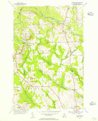
 1929 Caribou1929 Print · USGSAroostook County's potato and timber country is shown here in the late twenties, centered on the growing hubs of Caribou and Washburn. Researchers can trace family roots through dozens of local schoolhouses and the New Sweden Station and Post Office.
 - 1932 Map of Caribou
 1932 Caribou1932 Print · USGSAroostook County's river valleys and rail corridors are shown here just before the mid-century, mapping a landscape of tight-knit townships and rural schoolhouses. Genealogists can trace family roots through labels like New Sweden Sta and PO, Barnum Ch, and the Hammond Sch.2 unique versions available
 - 1953 Map of New Sweden, 1955 Print
 1953 New Sweden1955 Print · USGSNorthern Aroostook County’s Swedish settlement patterns are clearly visible in the mid-fifties, showing a landscape of rail sidings and rural townships. Researchers can trace family-named landmarks and infrastructure like New Sweden Sta, Sacred Heart Sch, and the Bangor and Aroostook rail line.3 unique versions available
 - 1953 Map of Caribou, 1956 Print
 1953 Caribou1956 Print · USGSAroostook County's agricultural and rail heartland is captured here in the early fifties, showing the region's transition from timber to a modernizing economy. Genealogists can locate family sites like Donnelly Bk Sch, Snowman Sch, and Jemtland Cem among the many townships.3 unique versions available
 - 1954 Map of Presque Isle, 1968 Print
 1954 Presque Isle1968 Print · USGSNorth Woods logging and rail history come alive in this mid-century survey of the Maine-Quebec borderlands. Genealogists and historians can trace the Bangor and Aroostook railroad through timber hubs like Ashland, Smyrna Mills, and Presque Isle.2 unique versions available
 - 1958 Map of Presque Isle
 1958 Presque Isle1958 Print · USGSThe Aroostook timber and potato country is captured here during the late fifties, showing the vital rail-to-river network of Northern Maine. Genealogists and historians can trace the Bangor & Aroostook RR through Mapleton and Ashland, or locate remote sites like Chamberlain Farm and Seven Islands.
 - 1960 Map of Presque Isle
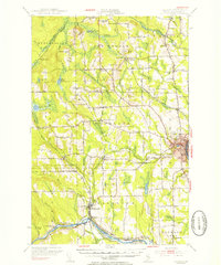
 1960 Presque Isle1960 Print · USGSNorthern Maine during the mid-century was a land of timber, rails, and strategic airfields. Genealogists and historians can trace the growth of Presque Isle and Ashland or explore the remote northern reaches of Baxter State Park and Presque Isle AFB.3 unique versions available
 - 1975 Map of New Sweden, 1981 Print
 1975 New Sweden1981 Print · USGSNorthern Maine's Swedish heritage is visible in the 1970s, showcasing the rural landscapes of New Sweden and Acadia. Trace the agricultural patterns and forest boundaries near New Sweden Station and along the Little Madawaska River.
 - 1994 Map of Presque Isle
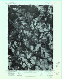
 1994 Presque Isle1994 Print · USGSAroostook County in the mid-nineties shows a landscape defined by timber, rail, and river-valley farming. Genealogists and historians can trace the Bangor & Aroostook RR through small stations and settlements like Winterville Sta, Buffalo, and Sheridan.
 - 2011 Map of New Sweden, 2011 Print
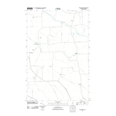 2011 New Sweden2011 Print · USGSCovers North Lyndon, including Caribou, Woodland, and other nearby areas
 - 2014 Map of New Sweden, 2014 Print
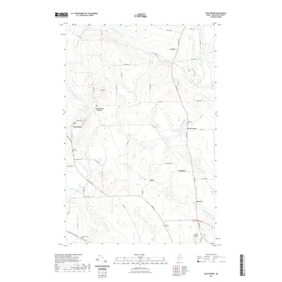
 2014 New Sweden2014 Print · USGSCovers North Lyndon, including Caribou, Woodland, and other nearby areas
 - 2018 Map of New Sweden, 2018 Print
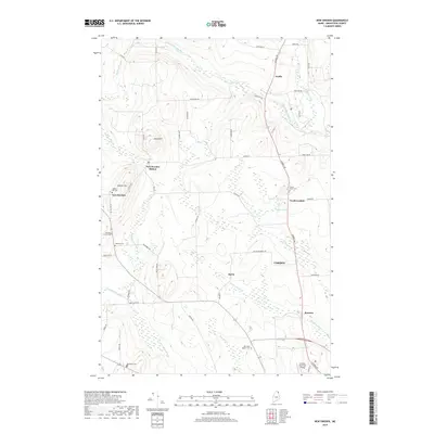 2018 New Sweden2018 Print · USGSCovers North Lyndon, including Caribou, Woodland, and other nearby areas
 - 2021 Map of New Sweden, 2021 Print
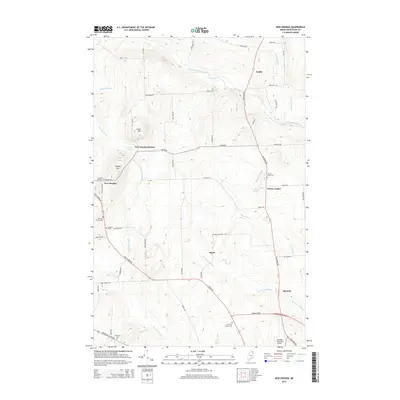
 2021 New Sweden2021 Print · USGSCovers North Lyndon, including Caribou, Woodland, and other nearby areas
 - 2024 Map of New Sweden, 2024 Print
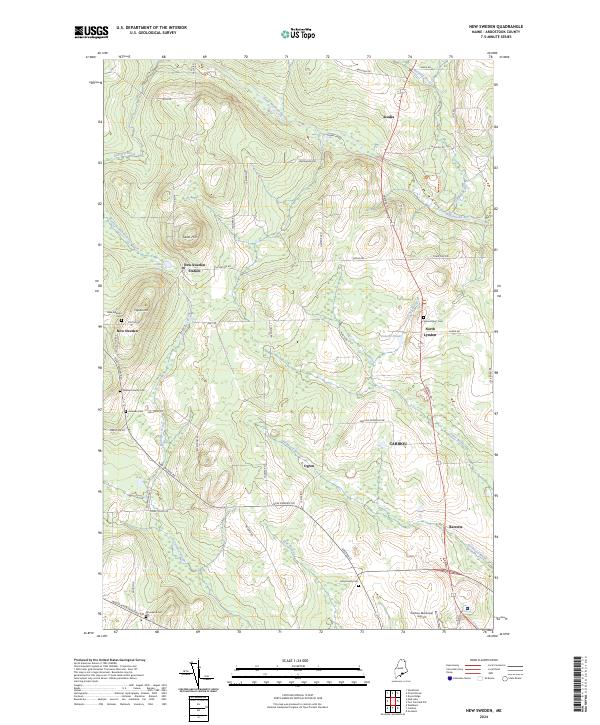 2024 New Sweden2024 Print · USGSThe Swedish heritage of northern Maine is preserved in this recent survey of the settlements and family-named cemeteries near the Canadian border. Researchers can locate ancestral landmarks like the Williams Family Cem and the small hamlet of New Sweden Station.
End of results
Showing maps 1-14 of 14
Frequently asked questions
- What are the different types of historical maps available for North Lyndon?
- What is the oldest map of North Lyndon?
- Where can I purchase historical maps of North Lyndon for my home or office?
- Where can I download high-res historical maps of North Lyndon?
- Are there historical topographic maps available for North Lyndon?
- Is there historical aerial imagery available for North Lyndon?
- Where are historical maps of North Lyndon sourced from?