Old Maps of Grand Isle, Maine for Metal Detecting
Plan your next treasure hunt with 35 historic maps of Grand Isle. Find old homesites, ghost towns, trails, and gathering spots that may be lost to time — perfect for identifying promising metal detecting locations.
- Locate forgotten sites: Uncover places like long-lost settlements, abandoned rail lines, or gathering spots.
- Plan better hunts: Use map overlays combined with LiDAR or satellite views to narrow in on historically rich areas.
- Made for detectorists: Thousands of hobbyists use these maps to discover relics, coins, and hidden history.
Use these historic maps to boost your research and find new opportunities beneath the surface of Grand Isle.
Grand Isle, ME maps
(35)- 1927 Map of Stockholm
 1927 Stockholm1927 Print · USGSNorthern Aroostook County's borderlands and timber country are captured here in the late twenties during the height of the rail-and-river economy. Researchers can trace rural school districts like Berquist Sch, the Caniba Mill, and the Bangor and Aroostook railroad stops.
 - 1931 Map of Stockholm
 1931 Stockholm1931 Print · USGSUpper Aroostook County in the late twenties shows a landscape defined by the railroad and the timber industry. Genealogists can trace family footprints through rural schoolhouses like Gervais Sch and early settlements including California and Jemtland.4 unique versions available
 - 1938 Map of Grand Isle, 1977 Print
 1938 Grand Isle1977 Print · USGSUpper Aroostook County life in the late 1930s is anchored here along the river border with New Brunswick. Genealogists and local historians can trace family locations near St David, Lille, and the Doucette Sch along the Bangor and Aroostook line.
 - 1940 Map of Grand Isle
 1940 Grand Isle1940 Print · USGSThe northern boundary of Maine along the St John River is captured here during the 1940s, showing a landscape defined by riverside settlements and rail. Trace the family-named landmarks and rural hubs of the era, from St David and Lille to the isolated Doucotte Sch.3 unique versions available
 - 1953 Map of Stockholm, 1954 Print
 1953 Stockholm1954 Print · USGSNorthern Aroostook County in the mid-fifties is captured here during a period of active timber harvesting and rail transport. Genealogists and local historians can trace the Swedish colony heritage in Stockholm and Jemtland or locate early outposts like Swedes Camp and Sinclair Sch.2 unique versions available
 - 1962 Map of Edmundston, 1966 Print
 1962 Edmundston1966 Print · USGSThe international borderlands of northern Maine and Canada come alive here during the early sixties, centered on the river-and-rail economies of the day. Genealogists and historians can trace the paths of the Bangor and Aroostook railroad through river towns like Fort Kent and St Agatha.2 unique versions available
 - 1975 Map of Stockholm NE, 1981 Print
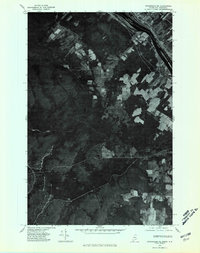 1975 Stockholm NE1981 Print · USGSNorthern Maine meets the Canadian border in the mid-seventies, capturing the riverside settlement of Parent and the surrounding timberlands. Genealogists and historians can trace the international boundary along the Canada United States line near Violette Stream.
 - 1975 Map of Grand Isle SW, 1981 Print
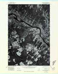 1975 Grand Isle SW1981 Print · USGSThe international borderlands of Aroostook County are captured here in the mid-1970s, showing the unique Acadian ribbon-farm patterns along the St John River. Genealogists and historians can trace family land plots near Grand Isle and St David or locate landmarks near the mouth of the Green River.
 - 1975 Map of Stockholm NW, 1981 Print
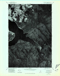 1975 Stockholm NW1981 Print · USGSNorthern Maine's lake country and timberlands are captured in high detail in the mid-1970s. Researchers can trace the wooded slopes of Gold Mountain and the expansive shoreline of Long Lake as they appeared decades ago.
 - 1975 Map of Grand Isle SE, 1981 Print
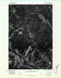 1975 Grand Isle SE1981 Print · USGSThe international border along the St. John River comes into sharp focus in the mid-1970s, showing the agricultural long lots of the Acadian valley. Genealogists can trace family homesteads near Lille, Ste-Anne-De-Madawaska, and the winding Quisibis River.
 - 1986 Map of Lille
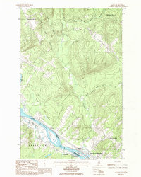 1986 Lille1986 Print · USGSThe international border along the St. John River comes alive in the mid-1980s, documenting the shared geography of Maine and New Brunswick. Genealogists and historians can trace riverside settlements like Lille and Sainte-Anne-de-Madawaska or locate La Grande Island and family-named landmarks like Montagne-des-Therrien.
 - 1986 Map of Paulette Brook
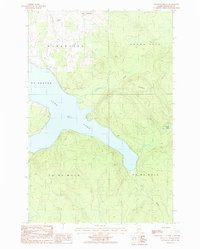 1986 Paulette Brook1986 Print · USGSNorthern Maine in the mid-1980s centers on the waters of Long Lake and the rural boundary between St Agatha and Madawaska. Genealogists and researchers can trace local features from the settlement of Lavertue to the banks of Paulette Brook.
 - 1986 Map of Grand Isle
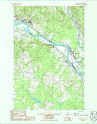 1986 Grand Isle1986 Print · USGSThe international border along the St. John River valley comes into sharp focus during the mid-1980s. Genealogists and local historians can trace family-named sites like Thibodeau Brook, old settlements at St David, and the rail-side community at Riviere-Verte.
 - 1986 Map of Violette Stream
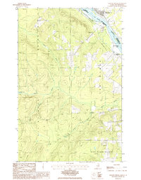 1986 Violette Stream1986 Print · USGSThe international border along the St John River comes into focus in the mid-1980s, documenting the remote woods of Aroostook County. Researchers can trace the path of the Old RR Grade and find early boundary markers for Cyr Plantation and Sainte-Anne-de-Madawaska.
 - 1994 Map of Madawaska
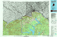 1994 Madawaska1994 Print · USGSThe St John Valley in the 1990s remained a unique cultural crossroads of Maine and New Brunswick, centered on the river and the rails. Genealogists and historians can trace family-named settlements like Violette Settlement or explore the shores of Eagle Lake and Long Lake.
 - 2011 Map of Paulette Brook, 2011 Print
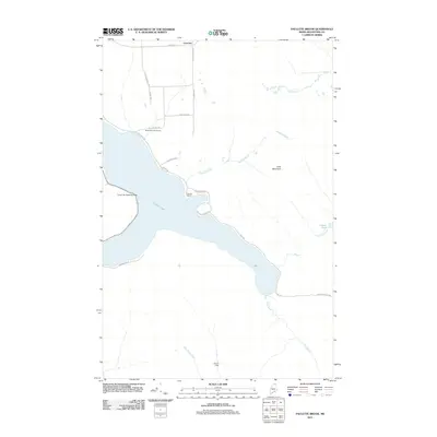 2011 Paulette Brook2011 Print · USGSNorthern Maine lakeside life in the early 2010s is defined by the waters of Long Lake and its surrounding woodlands. Researchers can trace local landmarks like the Long Lake Seaplane Base, Birch Point Golf Course, and seasonal outposts at Francks Camp.
 - 2011 Map of Grand Isle, 2011 Print
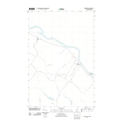 2011 Grand Isle2011 Print · USGSThe Saint John River valley in northern Maine is captured here at the start of the decade, showing the riverside settlements and interior farmlands. Genealogists can trace family-named routes like Beaulieu Rd and locate the Grand Isle Post Office.
 - 2011 Map of Lille, 2011 Print
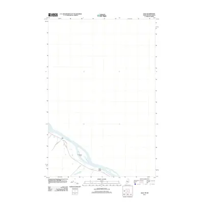 2011 Lille2011 Print · USGSThe northern Maine borderlands along the Saint John River are detailed in this 2011 survey. Researchers can trace the layout of riverside communities like Lille and Notre Dame and locate landmarks such as La Grande Island.
 - 2011 Map of Violette Stream, 2011 Print
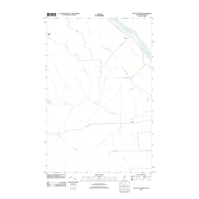 2011 Violette Stream2011 Print · USGSThe Saint John River borderlands in northern Maine appear here during the early twenty-first century, showing a landscape shaped by water and wood. Genealogists and local historians can trace family-named routes like Parent Rd and locate sites such as Daigle Mill and Martins Siding.
 - 2014 Map of Paulette Brook, 2014 Print
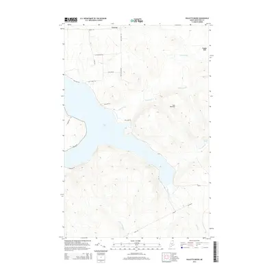 2014 Paulette Brook2014 Print · USGSNorthern Maine's lake country is captured here in the early twenty-first century, showing a landscape defined by timber history and upland farming. Researchers can trace family-named roads to historic sites like Daigle Mill and the settlement of Lavertue near Long Lake.
 - 2014 Map of Lille, 2014 Print
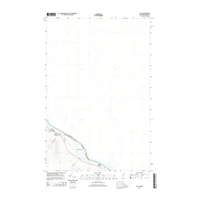 2014 Lille2014 Print · USGSThe international border along the Saint John River in northern Maine is captured here during the mid-2010s. Genealogists and local historians can trace the riverside communities of Lille and Notre Dame, including the Notre Dame du Mt Carmel Cem.
 - 2014 Map of Grand Isle, 2014 Print
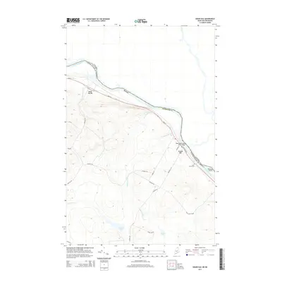 2014 Grand Isle2014 Print · USGSThe northern reaches of Aroostook County are captured here in the early twenty-first century, showing the ribbon settlements along the Canadian border. Genealogists and local historians can trace family-named roads and landmarks like Saint Gerard Cem and Thibodeau Island.
 - 2014 Map of Violette Stream, 2014 Print
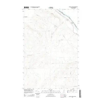 2014 Violette Stream2014 Print · USGSThe northern reaches of Maine’s borderlands are mapped here in the early twenty-first century, centered on the Upper Saint John River Valley. Genealogists and local historians can trace family-named routes and old locations like Daigle Mill, Parent, and Violette Pond.
 - 2018 Map of Paulette Brook, 2018 Print
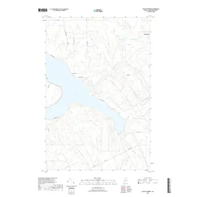 2018 Paulette Brook2018 Print · USGSAroostook County's northern lakes and timberlands are captured here in the late twenty-teens, centered on the deep waters of Long Lake. Researchers can trace old family road names and locate rural landmarks like Daigle Mill, Violette Pond, and the heights of Cold Mtn.
 - 2018 Map of Violette Stream, 2018 Print
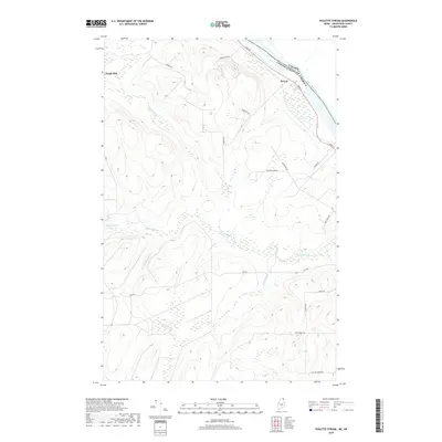 2018 Violette Stream2018 Print · USGSThe international border along the Saint John River is captured here in the late 2010s. Genealogists and local historians can trace family-named routes and settlements like Parent, Daigle Mill, and Sugar Ridge Rd in this northern Maine landscape.
Showing maps 1-25 of 35
Top cities near Grand Isle
- Madawaska historical maps
- Van Buren historical maps
- Frenchville historical maps
- Saint Agatha historical maps
- Square Lake historical maps
- Connor Township historical maps
See more
Top neighborhoods of Grand Isle
Frequently asked questions
- What are the different types of historical maps available for Grand Isle?
- What is the oldest map of Grand Isle?
- Where can I purchase historical maps of Grand Isle for my home or office?
- Where can I download high-res historical maps of Grand Isle?
- Are there historical topographic maps available for Grand Isle?
- Is there historical aerial imagery available for Grand Isle?
- Where are historical maps of Grand Isle sourced from?