2000s (21st Century) Maps of Hamlin, Maine
Explore 15 historic maps of Hamlin from the 2000s (21st Century). These maps offer a rare glimpse into what life looked like during the 2000s — showing old roads, neighborhoods, homes, and landmarks that have changed or disappeared over time.
Whether you're researching your family's past, planning a metal detecting trip, or studying how Hamlin's landscape evolved across the 2000s, these high-resolution maps are a powerful tool for exploring the history of this region.
- Focus on a specific era: All maps on this page are from the 2000s, giving you a focused view of this time period.
- See what’s changed: Compare century-old streets, trails, and buildings to today's modern landscape using overlays and satellite layers.
- Research with precision: Use these maps for genealogy, historical research, land use analysis, or educational projects.
- View, download, or print: Maps are fully viewable online in high resolution, and can be downloaded or printed for your own records.
Start exploring Hamlin's history through authentic maps from the 2000s. This is your window into the past.
Hamlin, ME maps
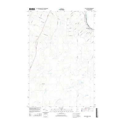
(15)- 2011 Map of Doyle Ridge, 2011 Print
 2011 Doyle Ridge2011 Print · USGSCovers Hamlin, including Connor Township, Caswell, and other nearby areas
 - 2011 Map of Van Buren, 2011 Print
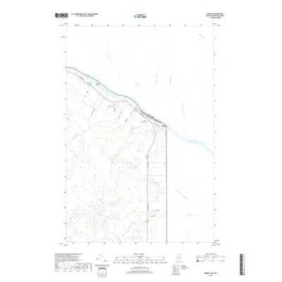
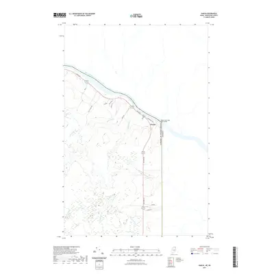
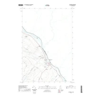
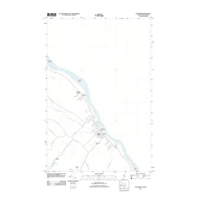 2011 Van Buren2011 Print · USGSCovers Hamlin, including Van Buren, Cyr Plantation, and other nearby areas
 - 2011 Map of Hamlin, 2011 Print
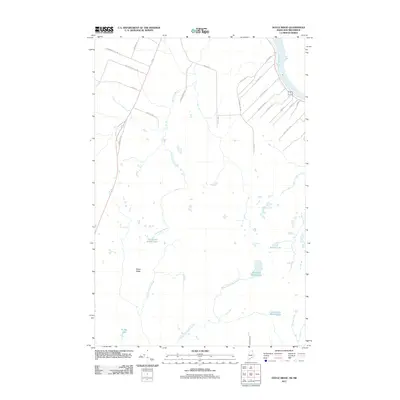
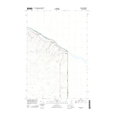
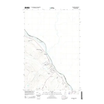
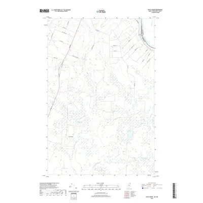
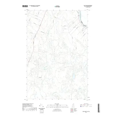
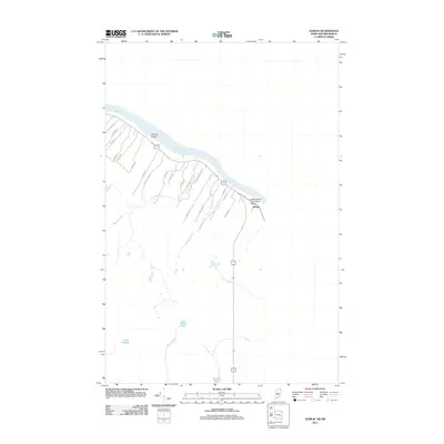 2011 Hamlin2011 Print · USGSCovers Hamlin, including Caswell, Saint-André, and other nearby areas
 - 2014 Map of Hamlin, 2014 Print
 2014 Hamlin2014 Print · USGSCovers Hamlin, including Caswell, Saint-André, and other nearby areas
 - 2014 Map of Van Buren, 2014 Print
 2014 Van Buren2014 Print · USGSCovers Hamlin, including Van Buren, Cyr Plantation, and other nearby areas
 - 2014 Map of Doyle Ridge, 2014 Print
 2014 Doyle Ridge2014 Print · USGSCovers Hamlin, including Connor Township, Caswell, and other nearby areas
 - 2018 Map of Hamlin, 2018 Print
 2018 Hamlin2018 Print · USGSCovers Hamlin, including Caswell, Saint-André, and other nearby areas
 - 2018 Map of Van Buren, 2018 Print
 2018 Van Buren2018 Print · USGSCovers Hamlin, including Van Buren, Cyr Plantation, and other nearby areas
 - 2018 Map of Doyle Ridge, 2018 Print
 2018 Doyle Ridge2018 Print · USGSCovers Hamlin, including Connor Township, Caswell, and other nearby areas
 - 2021 Map of Hamlin, 2021 Print
 2021 Hamlin2021 Print · USGSCovers Hamlin, including Caswell, Saint-André, and other nearby areas
 - 2021 Map of Doyle Ridge, 2021 Print
 2021 Doyle Ridge2021 Print · USGSCovers Hamlin, including Connor Township, Caswell, and other nearby areas
 - 2021 Map of Van Buren, 2021 Print
 2021 Van Buren2021 Print · USGSCovers Hamlin, including Van Buren, Cyr Plantation, and other nearby areas
 - 2024 Map of Doyle Ridge, 2024 Print
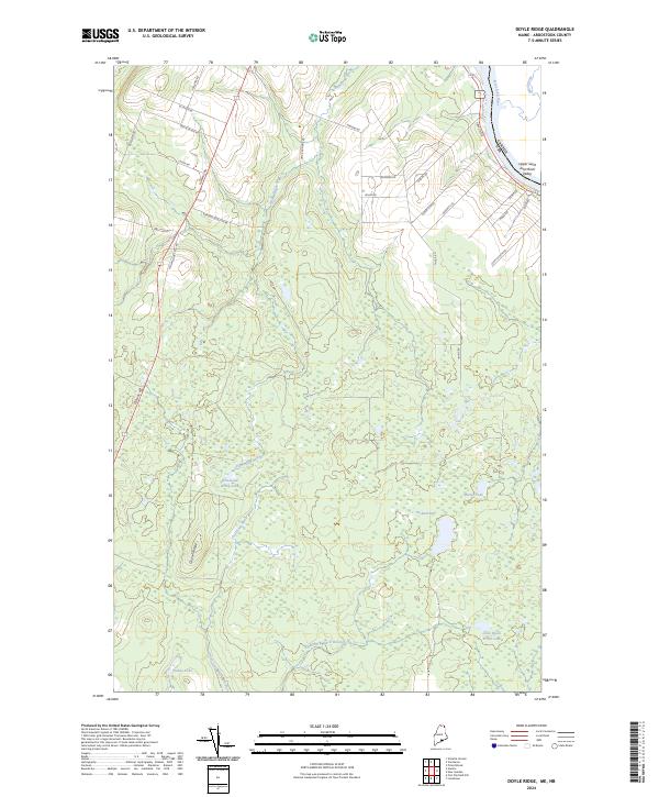 2024 Doyle Ridge2024 Print · USGSAroostook County's northern borderlands are charted here in recent detail, where the Saint John River meets the Canadian boundary. Trace local family history through named routes like Edmond Ouellette Rd and explore the remote wetlands of Orchard Bog.
 - 2024 Map of Hamlin, 2024 Print
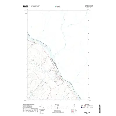
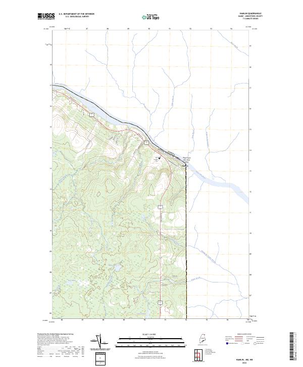 2024 Hamlin2024 Print · USGSThe northern Maine borderlands along the Saint John River are captured in this recent survey. Genealogists and historians can trace local landmarks like Saint Josephs Cem and the small settlements throughout the Upper Saint John River Valley.
 - 2024 Map of Van Buren, 2024 Print
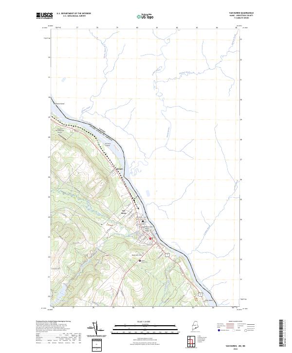 2024 Van Buren2024 Print · USGSThe northern Maine border at the Saint John River comes into focus in this contemporary survey of the international boundary. Genealogists and local historians can trace family locations along Main St or near the Saint Bruno - Saint Remi Catholic Cem and Grand - Riviere Cem.
End of results
Showing maps 1-15 of 15
Top cities near Hamlin
- Caribou historical maps
- Van Buren historical maps
- Limestone historical maps
- Woodland historical maps
- New Sweden historical maps
- Connor Township historical maps
See more
Frequently asked questions
- What are the different types of historical maps available for Hamlin?
- What is the oldest map of Hamlin?
- Where can I purchase historical maps of Hamlin for my home or office?
- Where can I download high-res historical maps of Hamlin?
- Are there historical topographic maps available for Hamlin?
- Is there historical aerial imagery available for Hamlin?
- Where are historical maps of Hamlin sourced from?