Old Maps of Hamlin, Maine for Genealogy
Trace your family roots with 27 historic maps of Hamlin. These high-res maps reveal old neighborhoods, homesites, landmarks, and streets — helping you uncover where your ancestors lived and how the area evolved over time.
- Explore historic neighborhoods: Identify where your relatives may have lived in the 1800s or 1900s.
- Compare maps over time: Trace the changes in streets, buildings, and landmarks for multi-generational research.
- Perfect for genealogy & ancestry research: Used by family historians and researchers to map out lineage and migration.
These maps are an incredible resource for exploring your personal connection to Hamlin's past.
Hamlin, ME maps
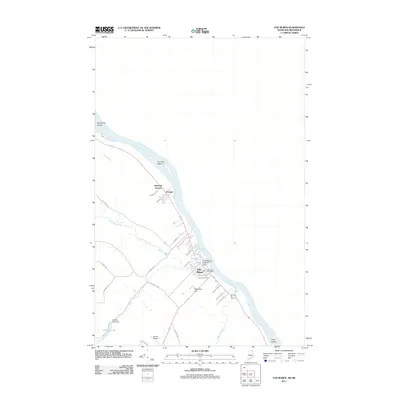
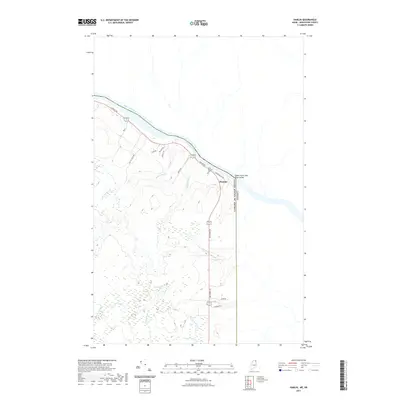
(27)- 1921 Map of Van Buren
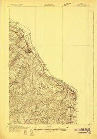
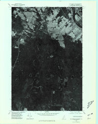
 1921 Van Buren1921 Print · USGSThe northern Maine border and New Brunswick frontier appear here in the early 1920s, as mapped for military strategic use. Genealogists and rail historians can trace the paths of the Grand Trunk R. R. through Van Buren and Hamlin, or locate settlements like Keegan and Bellefleur.
 - 1931 Map of Van Buren
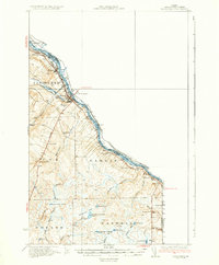
 1931 Van Buren1931 Print · USGSThe international border at the St John River comes to life in the early 1930s. Trace the rail lines of the Canadian Pacific or locate local landmarks like Septieme Isle and the Berube Sch.
 - 1934 Map of Van Buren
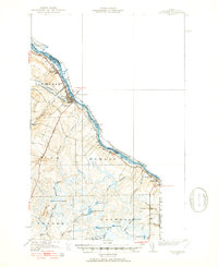
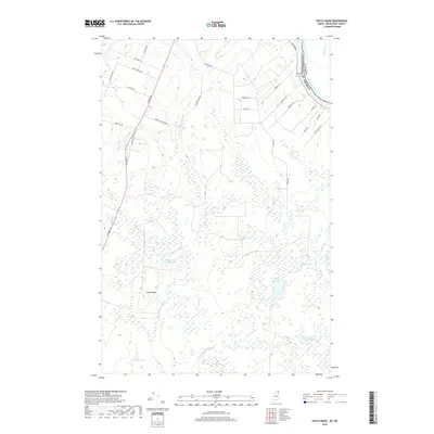
 1934 Van Buren1934 Print · USGSAroostook County's northern borderlands are captured here in the mid-1930s, documenting the international boundary along the St John River. Genealogists can trace early homesteads and school districts like Bernier Sch, Cyr Plantation Sch, and the riverside rail corridor of the Bangor and Aroostook.3 unique versions available
 - 1951 Map of Van Buren
 1951 Van Buren1951 Print · USGSSt John River life and the northern Maine border are detailed here during the mid-century, showing the international boundary with New Brunswick. Researchers can trace the Bangor and Aroostook rail line through Keegan or locate rural landmarks like St Joseph Ch and Bernie Sch.5 unique versions available
 - 1963 Map of Campbellton
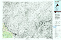
 1963 Campbellton1963 Print · USGSThe international borderlands of New Brunswick and Maine come alive in the early sixties, showing a landscape of river-valley towns and timber outposts. Genealogists and historians can trace rail-side communities like Campbellton or remote camps such as Rapids Depot and Miller Line Cache.3 unique versions available
 - 1975 Map of Van Buren SW, 1981 Print
 1975 Van Buren SW1981 Print · USGSThe international border at the northern edge of Maine met the mid-seventies with a mix of sprawling timberlands and tidy farm plots. Genealogists and historians can trace the rugged boundary of New Brunswick and Maine near Big Black Brook Lake and Doyle Ridge.
 - 1975 Map of Van Buren NW, 1981 Print
 1975 Van Buren NW1981 Print · USGSThe international border at Van Buren and St Leonard is captured in the mid-1970s, showing the unique river-lot land patterns of the valley. Genealogists can trace the rural layouts of the Saint John River and the settlement at Keegan.
 - 1975 Map of Van Buren SE, 1981 Print
 1975 Van Buren SE1981 Print · USGSThe northern borderlands along the St John River are captured in this mid-1970s aerial survey. Genealogists and local historians can trace the rural homesteads around Hamlin and the international boundary shared with New Brunswick Maine.
 - 1986 Map of Hamlin
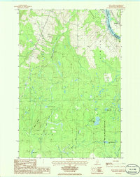
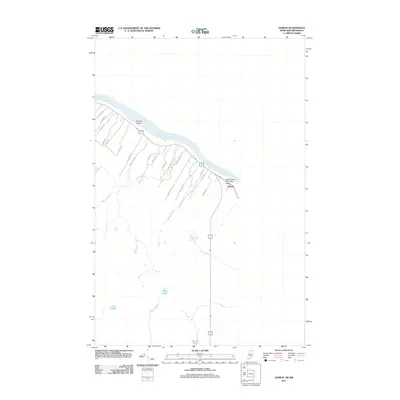
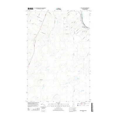
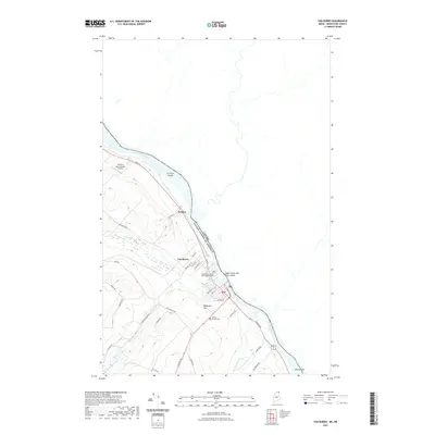
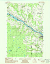 1986 Hamlin1986 Print · USGSThe international border along the ST JOHN RIVER defines this northern Maine landscape in the mid-1980s. Researchers can trace rural rail sidings and small settlements from Bellefleur Station to the Caswell Plantation, along with the winding course of Lavoie Brook.
 - 1986 Map of Doyle Ridge
 1986 Doyle Ridge1986 Print · USGSThe Maine-New Brunswick border comes into focus in the mid-1980s along the winding St John River. Researchers can trace the boundaries of Cyr Plantation and find local landmarks like Bellefleur, Dubay Lake, and the U S Military Res.
 - 1986 Map of Van Buren
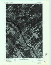
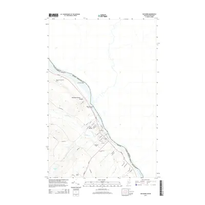
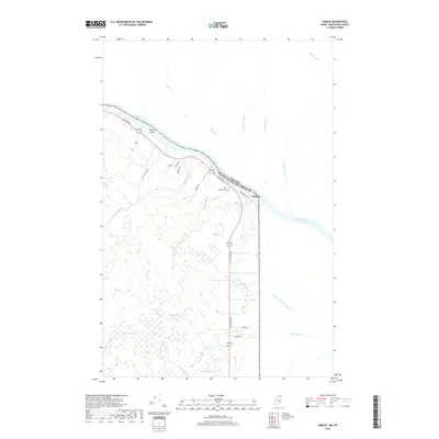
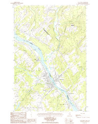 1986 Van Buren1986 Print · USGSThe St. John River borderlands in the mid-1980s reveal a landscape of international commerce and Acadian settlement. Genealogists and historians can trace family locations through Van Buren and Saint-Léonard, or locate landmarks like the Drive-In Theater and Harrison Brook Settlement.
 - 1993 Map of Van Buren
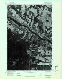
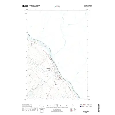
 1993 Van Buren1993 Print · USGSThe northern reaches of Aroostook Co are captured here in the early nineties, showing the interface between Maine and New Brunswick. Researchers can trace the riverfront development of Van Buren or locate the sprawling footprint of Loring Air Force Base near Hamlin.
 - 2011 Map of Doyle Ridge, 2011 Print
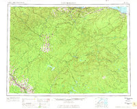
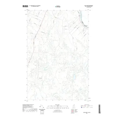
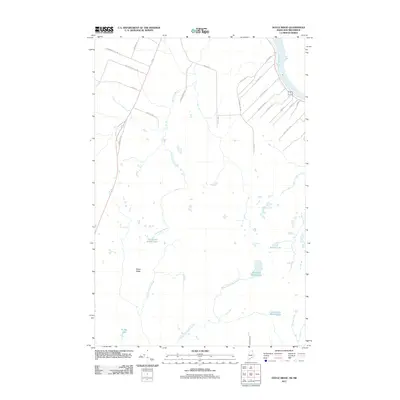 2011 Doyle Ridge2011 Print · USGSCovers Hamlin, including Connor Township, Caswell, and other nearby areas
 - 2011 Map of Van Buren, 2011 Print
 2011 Van Buren2011 Print · USGSCovers Hamlin, including Van Buren, Cyr Plantation, and other nearby areas
 - 2011 Map of Hamlin, 2011 Print
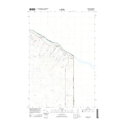
 2011 Hamlin2011 Print · USGSCovers Hamlin, including Caswell, Saint-André, and other nearby areas
 - 2014 Map of Hamlin, 2014 Print
 2014 Hamlin2014 Print · USGSCovers Hamlin, including Caswell, Saint-André, and other nearby areas
 - 2014 Map of Van Buren, 2014 Print
 2014 Van Buren2014 Print · USGSCovers Hamlin, including Van Buren, Cyr Plantation, and other nearby areas
 - 2014 Map of Doyle Ridge, 2014 Print
 2014 Doyle Ridge2014 Print · USGSCovers Hamlin, including Connor Township, Caswell, and other nearby areas
 - 2018 Map of Hamlin, 2018 Print
 2018 Hamlin2018 Print · USGSCovers Hamlin, including Caswell, Saint-André, and other nearby areas
 - 2018 Map of Van Buren, 2018 Print
 2018 Van Buren2018 Print · USGSCovers Hamlin, including Van Buren, Cyr Plantation, and other nearby areas
 - 2018 Map of Doyle Ridge, 2018 Print
 2018 Doyle Ridge2018 Print · USGSCovers Hamlin, including Connor Township, Caswell, and other nearby areas
 - 2021 Map of Hamlin, 2021 Print
 2021 Hamlin2021 Print · USGSCovers Hamlin, including Caswell, Saint-André, and other nearby areas
 - 2021 Map of Doyle Ridge, 2021 Print
 2021 Doyle Ridge2021 Print · USGSCovers Hamlin, including Connor Township, Caswell, and other nearby areas
 - 2021 Map of Van Buren, 2021 Print
 2021 Van Buren2021 Print · USGSCovers Hamlin, including Van Buren, Cyr Plantation, and other nearby areas
 - 2024 Map of Doyle Ridge, 2024 Print
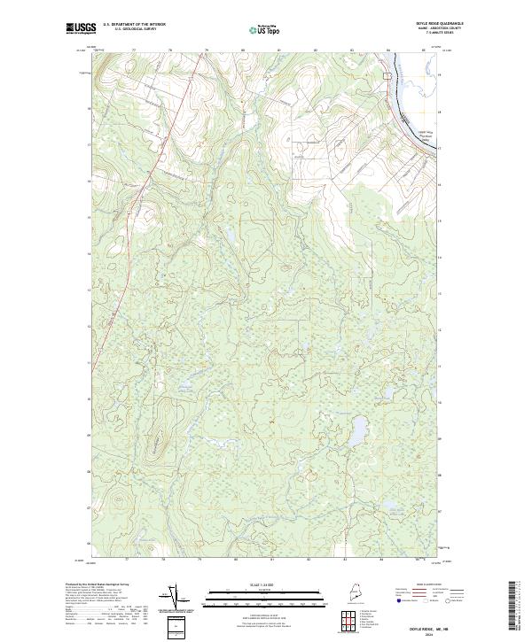 2024 Doyle Ridge2024 Print · USGSAroostook County's northern borderlands are charted here in recent detail, where the Saint John River meets the Canadian boundary. Trace local family history through named routes like Edmond Ouellette Rd and explore the remote wetlands of Orchard Bog.
Showing maps 1-25 of 27
Top cities near Hamlin
- Caribou historical maps
- Van Buren historical maps
- Limestone historical maps
- Woodland historical maps
- New Sweden historical maps
- Connor Township historical maps
See more
Frequently asked questions
- What are the different types of historical maps available for Hamlin?
- What is the oldest map of Hamlin?
- Where can I purchase historical maps of Hamlin for my home or office?
- Where can I download high-res historical maps of Hamlin?
- Are there historical topographic maps available for Hamlin?
- Is there historical aerial imagery available for Hamlin?
- Where are historical maps of Hamlin sourced from?