2000s (21st Century) Maps of Masardis, Maine
Explore 20 historic maps of Masardis from the 2000s (21st Century). These maps offer a rare glimpse into what life looked like during the 2000s — showing old roads, neighborhoods, homes, and landmarks that have changed or disappeared over time.
Whether you're researching your family's past, planning a metal detecting trip, or studying how Masardis's landscape evolved across the 2000s, these high-resolution maps are a powerful tool for exploring the history of this region.
- Focus on a specific era: All maps on this page are from the 2000s, giving you a focused view of this time period.
- See what’s changed: Compare century-old streets, trails, and buildings to today's modern landscape using overlays and satellite layers.
- Research with precision: Use these maps for genealogy, historical research, land use analysis, or educational projects.
- View, download, or print: Maps are fully viewable online in high resolution, and can be downloaded or printed for your own records.
Start exploring Masardis's history through authentic maps from the 2000s. This is your window into the past.
Masardis, ME maps
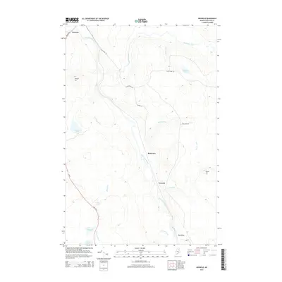
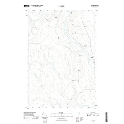
(20)- 2011 Map of Griswold, 2011 Print
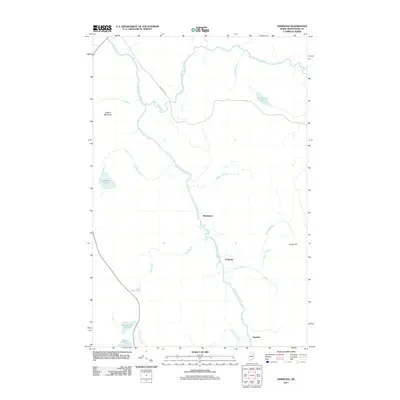 2011 Griswold2011 Print · USGSCovers Masardis, including T9 R4 WELS, Griswold, and other nearby areas
 - 2011 Map of Oxbow East, 2011 Print
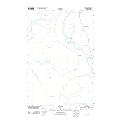
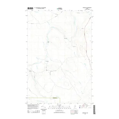
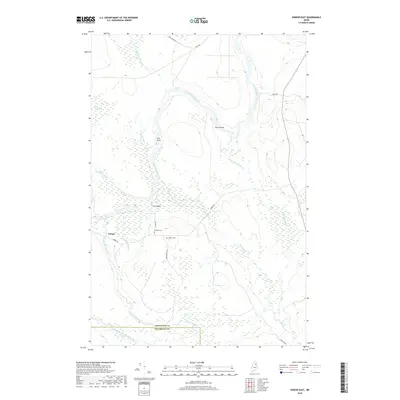
 2011 Oxbow East2011 Print · USGSCovers Masardis, including Oxbow, Oxbow North Township, and other nearby areas
 - 2011 Map of Scopan Lake West, 2011 Print
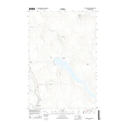
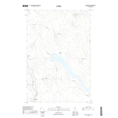
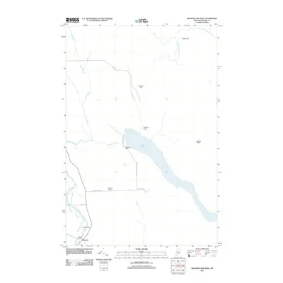 2011 Scopan Lake West2011 Print · USGSCovers Masardis, including Ashland, Scopan Township, and other nearby areas
 - 2011 Map of Scopan, 2011 Print
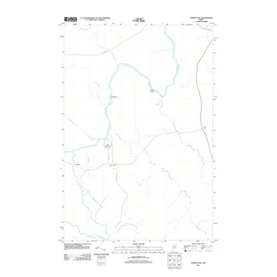
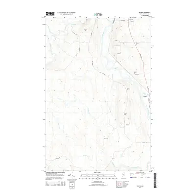
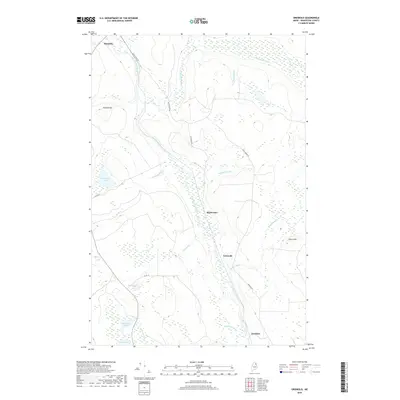
 2011 Scopan2011 Print · USGSCovers Masardis, including Ashland, Garfield Plantation, and other nearby areas
 - 2014 Map of Griswold, 2014 Print
 2014 Griswold2014 Print · USGSCovers Masardis, including T9 R4 WELS, Griswold, and other nearby areas
 - 2014 Map of Scopan, 2014 Print
 2014 Scopan2014 Print · USGSCovers Masardis, including Ashland, Garfield Plantation, and other nearby areas
 - 2014 Map of Scopan Lake West, 2014 Print
 2014 Scopan Lake West2014 Print · USGSCovers Masardis, including Ashland, Scopan Township, and other nearby areas
 - 2014 Map of Oxbow East, 2014 Print
 2014 Oxbow East2014 Print · USGSCovers Masardis, including Oxbow, Oxbow North Township, and other nearby areas
 - 2018 Map of Scopan, 2018 Print
 2018 Scopan2018 Print · USGSCovers Masardis, including Ashland, Garfield Plantation, and other nearby areas
 - 2018 Map of Scopan Lake West, 2018 Print
 2018 Scopan Lake West2018 Print · USGSCovers Masardis, including Ashland, Scopan Township, and other nearby areas
 - 2018 Map of Griswold, 2018 Print
 2018 Griswold2018 Print · USGSCovers Masardis, including T9 R4 WELS, Griswold, and other nearby areas
 - 2018 Map of Oxbow East, 2018 Print
 2018 Oxbow East2018 Print · USGSCovers Masardis, including Oxbow, Oxbow North Township, and other nearby areas
 - 2021 Map of Scopan Lake West, 2021 Print
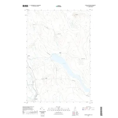 2021 Scopan Lake West2021 Print · USGSCovers Masardis, including Ashland, Scopan Township, and other nearby areas
 - 2021 Map of Scopan, 2021 Print
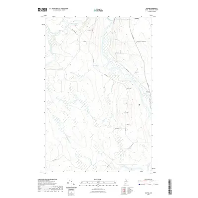 2021 Scopan2021 Print · USGSCovers Masardis, including Ashland, Garfield Plantation, and other nearby areas
 - 2021 Map of Oxbow East, 2021 Print
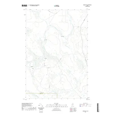 2021 Oxbow East2021 Print · USGSCovers Masardis, including Oxbow, Oxbow North Township, and other nearby areas
 - 2021 Map of Griswold, 2021 Print
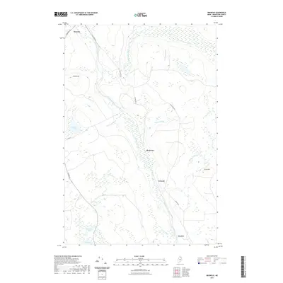 2021 Griswold2021 Print · USGSCovers Masardis, including T9 R4 WELS, Griswold, and other nearby areas
 - 2024 Map of Oxbow East, 2024 Print
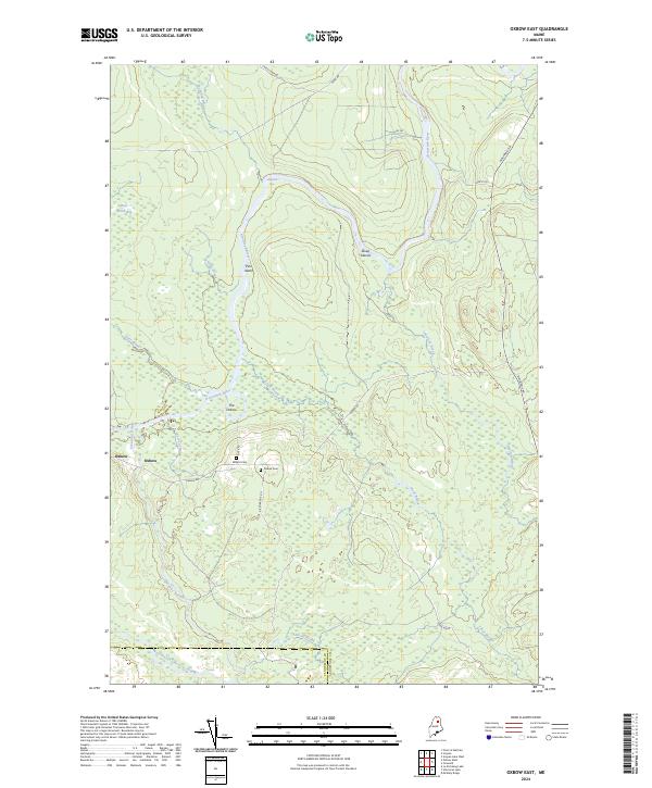 2024 Oxbow East2024 Print · USGSNorthern Maine's riverine landscape comes to life in this survey of the area near the Penobscot border. Trace the family history of Oxbow through local landmarks like Willard Cem and the winding banks of the Aroostook River.
 - 2024 Map of Scopan Lake West, 2024 Print
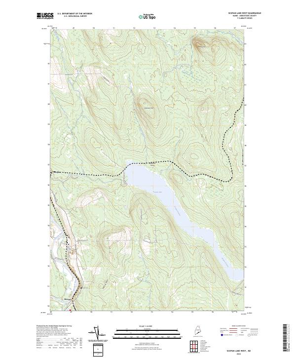 2024 Scopan Lake West2024 Print · USGSNorthern Maine forest and river life are captured here in recent years, centered on the Aroostook River. Trace local history at Smith Cem, the settlement of Masardis, or the rail-related Nowland Siding near the shores of Scopan Lake.
 - 2024 Map of Scopan, 2024 Print
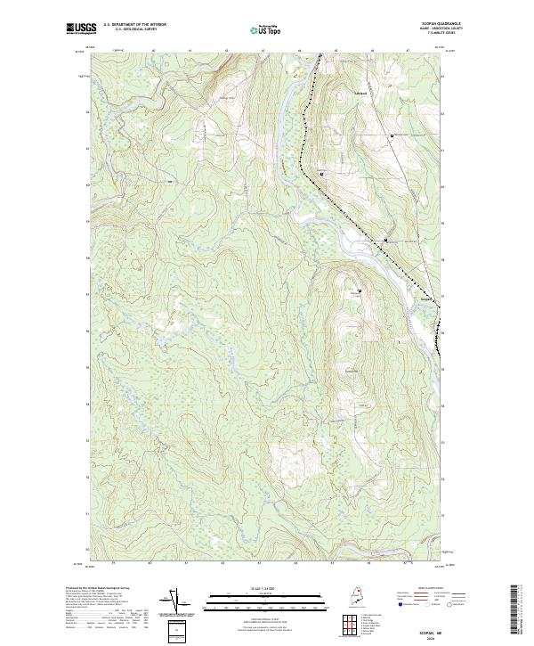 2024 Scopan2024 Print · USGSAroostook County in the 2020s remains a landscape of deep woods and winding waterways between Ashland and Scopan. Genealogists and local historians can trace family locations along Masardis Rd and locate burial sites like Winslow Cem and Rafford Cem.
 - 2024 Map of Griswold, 2024 Print
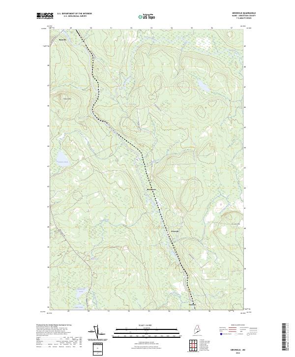 2024 Griswold2024 Print · USGSAroostook County's deep interior is documented here in the early twenty-first century, showing the settlement patterns along the Saint Croix Stream. Researchers can trace the layout of small outposts like Griswold, Blackwater, and Hawkins and the surrounding woods.
End of results
Showing maps 1-20 of 20
Top cities near Masardis
- Mapleton historical maps
- Ashland historical maps
- Chapman historical maps
- Castle Hill historical maps
- Garfield Plantation historical maps
- Oxbow historical maps
See more
Frequently asked questions
- What are the different types of historical maps available for Masardis?
- What is the oldest map of Masardis?
- Where can I purchase historical maps of Masardis for my home or office?
- Where can I download high-res historical maps of Masardis?
- Are there historical topographic maps available for Masardis?
- Is there historical aerial imagery available for Masardis?
- Where are historical maps of Masardis sourced from?