Old Maps of Merrill, Maine
Explore 36 old maps of Merrill, spanning from 1937 to today. These high-resolution historic maps reveal how streets, neighborhoods, landmarks, and natural features evolved over time — perfect for genealogy, metal detecting, research, and local history exploration.
What you can do with these maps:
- See how Merrill changed over time: Compare historical maps to modern-day views to trace roads, homesites, rail lines & more.
- View detailed metadata: Each map includes creators, publishers, year, scale, and archive source.
- Overlay maps with satellite & LiDAR: Visualize the past alongside modern tools to explore terrain & human change.
- Trusted historical sources: Maps sourced from the USGS, Library of Congress, and other archives.
- Access maps your way: View online, download high-res files, or order prints for personal or research use.
Start exploring old maps of Merrill to uncover forgotten places, hidden landmarks, and the deep history beneath your feet.
Merrill, ME maps
(36)- 1937 Map of Smyrna Mills
 1937 Smyrna Mills1937 Print · USGSAroostook County's interior is seen here in the 1930s, defined by the timber and rail economy of Smyrna Mills and Oakfield. Researchers can trace the Bangor and Aroostook RR alongside family landmarks like Walker Settlement and the Oakfield Cem.3 unique versions available
 - 1940 Map of Island Falls, 1957 Print
 1940 Island Falls1957 Print · USGSThe river-and-rail landscape of southern Aroostook County is captured here in the years before the war. Researchers can trace the exact locations of numerous rural schoolhouses like Allsbury Sch and Myrick Sch or locate the Bangor and Aroostook RR through Island Falls.4 unique versions available
 - 1942 Map of Island Falls
 1942 Island Falls1942 Print · USGSNorthern Maine's timber and rail frontier comes into focus in the early 1940s as the Bangor and Aroostook RR connects the woods to the world. Genealogists and historians can trace numerous rural schoolhouses like Rockabema Sch and the storied Patten Academy among the hills of Mount Chase.
 - 1954 Map of Presque Isle, 1968 Print
 1954 Presque Isle1968 Print · USGSNorth Woods logging and rail history come alive in this mid-century survey of the Maine-Quebec borderlands. Genealogists and historians can trace the Bangor and Aroostook railroad through timber hubs like Ashland, Smyrna Mills, and Presque Isle.2 unique versions available
 - 1955 Map of Smyrna Mills, 1956 Print
 1955 Smyrna Mills1956 Print · USGSSouthern Aroostook County in the mid-fifties was a landscape of timber-lined ridges and rail-connected settlements like Smyrna Mills and Oakfield. Genealogists and historians can trace the footprint of rural life through family-named landmarks like Walker Settlement and schools including Lincoln Sch and McCain Sch.4 unique versions available
 - 1958 Map of Presque Isle
 1958 Presque Isle1958 Print · USGSThe Aroostook timber and potato country is captured here during the late fifties, showing the vital rail-to-river network of Northern Maine. Genealogists and historians can trace the Bangor & Aroostook RR through Mapleton and Ashland, or locate remote sites like Chamberlain Farm and Seven Islands.
 - 1960 Map of Presque Isle
 1960 Presque Isle1960 Print · USGSNorthern Maine during the mid-century was a land of timber, rails, and strategic airfields. Genealogists and historians can trace the growth of Presque Isle and Ashland or explore the remote northern reaches of Baxter State Park and Presque Isle AFB.3 unique versions available
 - 1975 Map of Smyrna Mills SW, 1980 Print
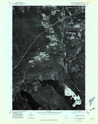 1975 Smyrna Mills SW1980 Print · USGSAroostook County during the mid-seventies reveals the relationship between northern Maine's forest industry and its riverside settlements. Researchers can trace the development of Oakfield and Dyer Brook or locate old crossings at Red Bridge along the East Branch Mattawamkeag.
 - 1975 Map of Smyrna Mills NW, 1980 Print
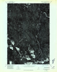 1975 Smyrna Mills NW1980 Print · USGSAroostook County's timber and agricultural lands are seen during the mid-seventies in this detailed orthophoto study. Researchers can trace the layout of small settlements at Smyrna Mills and Shorey or locate property clearings along Pervere Ridge.
 - 1975 Map of Island Falls SE, 1980 Print
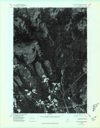 1975 Island Falls SE1980 Print · USGSNorthern Maine timberlands and agricultural clearings meet in the 1970s near the village of Island Falls. Trace the rural landscape along the West Branch Mattawamkeag River and find smaller settlements like Batesville.
 - 1985 Map of Oakfield
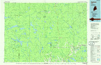 1985 Oakfield1985 Print · USGSAroostook County in the 1980s displays a balance between the timber-and-rail industry and the protected wilderness of the North Woods. Genealogists and local historians can trace family-named hubs like Smyrna Mills, Island Falls, and Knowles Corner along the Bangor and Aroostook railroad line.
 - 1986 Map of Oakfield
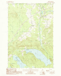 1986 Oakfield1986 Print · USGSOakfield and its surrounding timberlands are captured here in the mid-eighties, showing a landscape defined by the railroad and the river. Genealogists and historians can trace the Walker Settlement, the rail yards of Oakfield, and lakeside landmarks like Birch Point.
 - 1986 Map of Knowles Corner
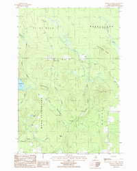 1986 Knowles Corner1986 Print · USGSAroostook County's timberlands are mapped here in the mid-1980s, centered on the crossroads of Knowles Corner. Researchers can trace the West Branch Mattawamkeag River through Lower Falls and find local landmarks like Rockabema Lake and the Cemetery.
 - 1986 Map of Smyrna Mills
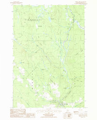 1986 Smyrna Mills1986 Print · USGSNorthern Maine's interior river valleys are captured here in the 1980s, centered on the settlement of Smyrna Mills. Researchers can trace old township boundaries and find remote landmarks like Shorey, Huntley Mill Pond, and Read Lake.
 - 1986 Map of Island Falls
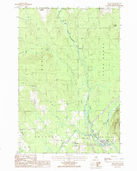 1986 Island Falls1986 Print · USGSIn the mid-eighties, this portion of Southern Aroostook County centered on the junction of the West Branch Mattawamkeag River and the Bangor and Aroostook railroad. Genealogists and historians can trace the layouts of Island Falls, Batesville, and Belvedere alongside local landmarks like the Cem and Robinson Mtn.
 - 1994 Map of Oakfield
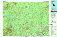 1994 Oakfield1994 Print · USGSAroostook County's North Woods and rural settlements are shown here in the mid-1990s, capturing the region's transition from forest to farmland. Trace the path of the Bangor and Aroostook RR through Smyrna Mills or locate landings on Millinocket Lake.
 - 2011 Map of Smyrna Mills, 2011 Print
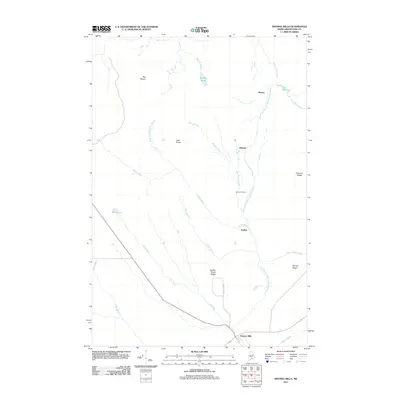 2011 Smyrna Mills2011 Print · USGSSmyrna Mills and the surrounding Aroostook County timberlands are mapped here at the beginning of the twenty-first century. Genealogists and researchers can trace local landmarks and waterway networks from Smyrna Mills up to Emerson Siding and Brandy Pond.
 - 2011 Map of Knowles Corner, 2011 Print
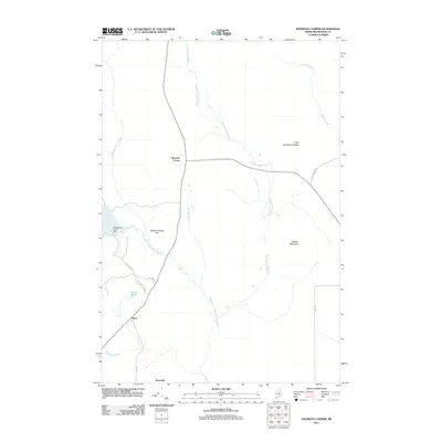 2011 Knowles Corner2011 Print · USGSAroostook County in the early twenty-first century remains a landscape of remote ridges and vital waterways like the West Branch Mattawamkeag River. Researchers can trace the routes of Mud Lake Tote Rd and Dudley Brook Rd connecting Knowles Corner and Moro.
 - 2011 Map of Oakfield, 2011 Print
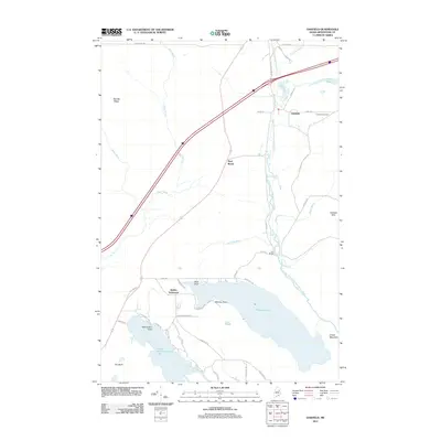 2011 Oakfield2011 Print · USGSSouthern Aroostook County at the start of the 2010s shows a landscape of river valleys and lakeside settlements. Local historians can trace family locations near Walker Settlement, identify the residential layout of Oakfield, and locate landmarks like Red Bridge and Oakfield Cemetery.
 - 2011 Map of Island Falls, 2011 Print
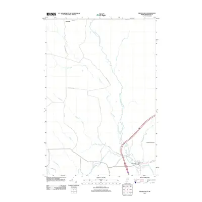 2011 Island Falls2011 Print · USGSIsland Falls and the surrounding Aroostook County timberlands are documented here in the early 21st century. Researchers can trace local lineage and land use through Bates Cemetery, the small settlement of Batesville, and logging routes like Champion Paper Rd.
 - 2014 Map of Smyrna Mills, 2014 Print
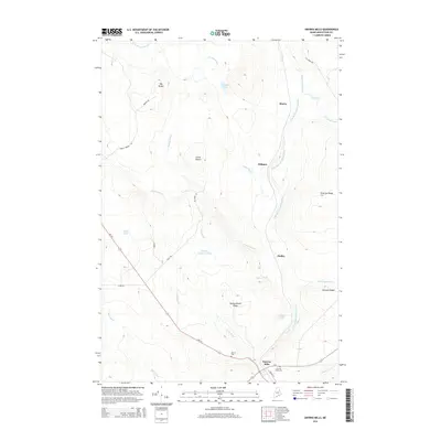 2014 Smyrna Mills2014 Print · USGSSmyrna and its surrounding hamlets are shown in the early twenty-first century, anchored by the river and the road network. Genealogists and local historians can locate early burial grounds at Merrill Cem and trace the small settlements of Hillman and Dudley.
 - 2014 Map of Island Falls, 2014 Print
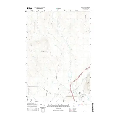 2014 Island Falls2014 Print · USGSAroostook County's river-driven landscape is detailed here in the early twenty-first century, showing the town's expansion and timber heritage. Researchers can trace family sites near Batesville, find the quiet Bates Cem, or follow the winding West Branch Mattawamkeag River.
 - 2014 Map of Oakfield, 2014 Print
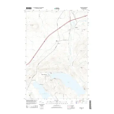 2014 Oakfield2014 Print · USGSThe township of Oakfield and the Walker Settlement area are shown in this modern survey of the Maine woods. Genealogists can locate several local burial grounds, including Dyer Brook Cem and Barrows Chambers Cem.
 - 2014 Map of Knowles Corner, 2014 Print
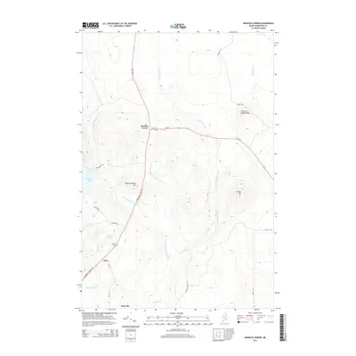 2014 Knowles Corner2014 Print · USGSAroostook County's interior is captured here in the early twenty-first century, showing the rural crossroads and river valleys of the Maine woods. Researchers can locate family landmarks like Cooper Cem and Darling Cem or trace the W Br Mattawamkeag River through Moro and Batesville.
 - 2018 Map of Smyrna Mills, 2018 Print
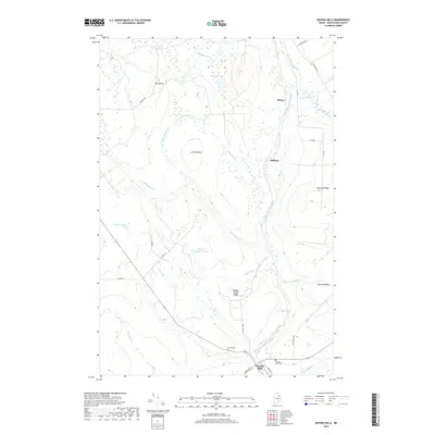 2018 Smyrna Mills2018 Print · USGSSmyrna Mills and the surrounding Maine timberlands appear here in the early twenty-first century as a landscape of ridges and river bends. Genealogists and local historians can trace family sites near Smyrna Mills Cemetery or follow the waters of the East Branch Mattawamkeag River.
Showing maps 1-25 of 36
Top cities near Merrill
- Linneus historical maps
- Patten historical maps
- Sherman historical maps
- Island Falls historical maps
- Oakfield historical maps
- New Limerick historical maps
See more
Frequently asked questions
- What are the different types of historical maps available for Merrill?
- What is the oldest map of Merrill?
- Where can I purchase historical maps of Merrill for my home or office?
- Where can I download high-res historical maps of Merrill?
- Are there historical topographic maps available for Merrill?
- Is there historical aerial imagery available for Merrill?
- Where are historical maps of Merrill sourced from?