2000s (21st Century) Maps of Merrill, Maine
Explore 20 historic maps of Merrill from the 2000s (21st Century). These maps offer a rare glimpse into what life looked like during the 2000s — showing old roads, neighborhoods, homes, and landmarks that have changed or disappeared over time.
Whether you're researching your family's past, planning a metal detecting trip, or studying how Merrill's landscape evolved across the 2000s, these high-resolution maps are a powerful tool for exploring the history of this region.
- Focus on a specific era: All maps on this page are from the 2000s, giving you a focused view of this time period.
- See what’s changed: Compare century-old streets, trails, and buildings to today's modern landscape using overlays and satellite layers.
- Research with precision: Use these maps for genealogy, historical research, land use analysis, or educational projects.
- View, download, or print: Maps are fully viewable online in high resolution, and can be downloaded or printed for your own records.
Start exploring Merrill's history through authentic maps from the 2000s. This is your window into the past.
Merrill, ME maps
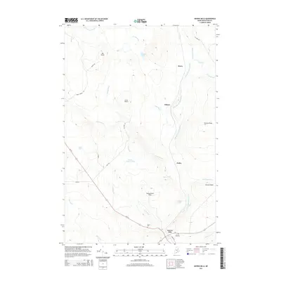
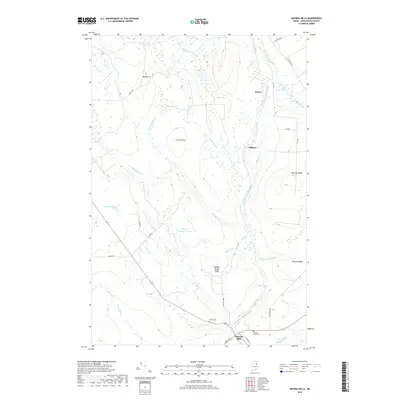
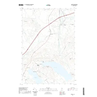
(20)- 2011 Map of Smyrna Mills, 2011 Print
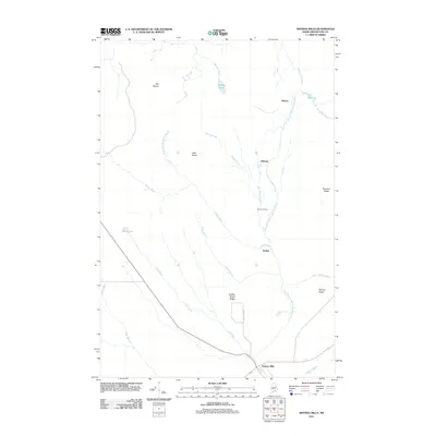 2011 Smyrna Mills2011 Print · USGSCovers Merrill, including Smyrna, Smyrna Mills, and other nearby areas
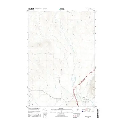
 - 2011 Map of Knowles Corner, 2011 Print
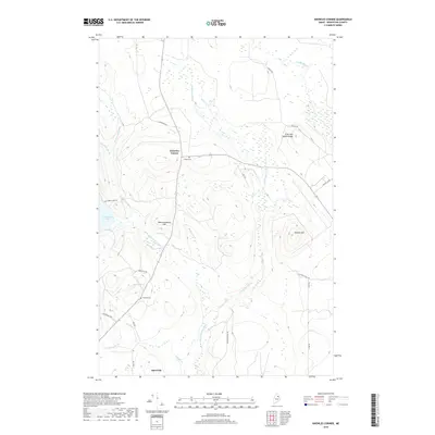
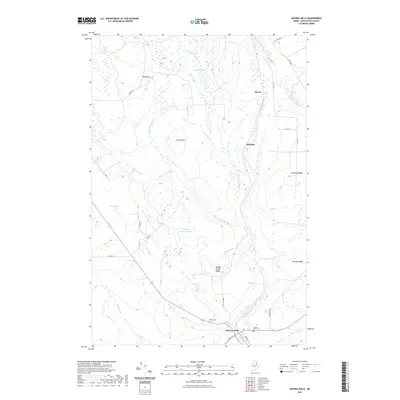
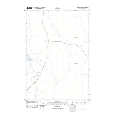 2011 Knowles Corner2011 Print · USGSCovers Merrill, including Moro, Moro Plantation, and other nearby areas
 - 2011 Map of Oakfield, 2011 Print
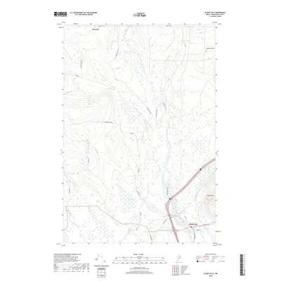
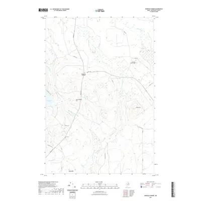
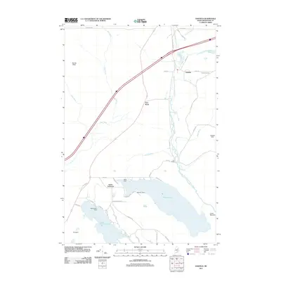 2011 Oakfield2011 Print · USGSCovers Merrill, including Island Falls, Oakfield, and other nearby areas
 - 2011 Map of Island Falls, 2011 Print
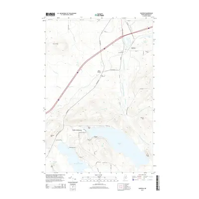
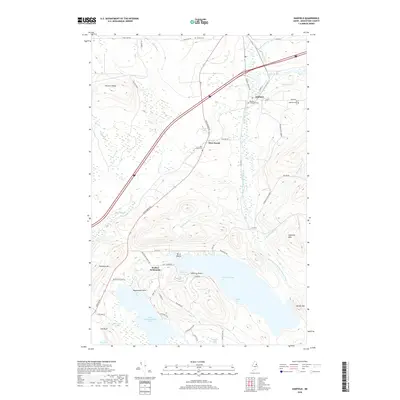
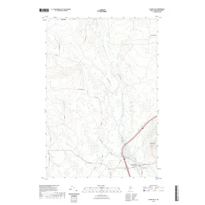
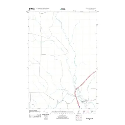 2011 Island Falls2011 Print · USGSCovers Merrill, including Island Falls, Crystal, and other nearby areas
 - 2014 Map of Smyrna Mills, 2014 Print
 2014 Smyrna Mills2014 Print · USGSCovers Merrill, including Smyrna, Smyrna Mills, and other nearby areas
 - 2014 Map of Island Falls, 2014 Print
 2014 Island Falls2014 Print · USGSCovers Merrill, including Island Falls, Crystal, and other nearby areas
 - 2014 Map of Oakfield, 2014 Print
 2014 Oakfield2014 Print · USGSCovers Merrill, including Island Falls, Oakfield, and other nearby areas
 - 2014 Map of Knowles Corner, 2014 Print
 2014 Knowles Corner2014 Print · USGSCovers Merrill, including Moro, Moro Plantation, and other nearby areas
 - 2018 Map of Smyrna Mills, 2018 Print
 2018 Smyrna Mills2018 Print · USGSCovers Merrill, including Smyrna, Smyrna Mills, and other nearby areas
 - 2018 Map of Island Falls, 2018 Print
 2018 Island Falls2018 Print · USGSCovers Merrill, including Island Falls, Crystal, and other nearby areas
 - 2018 Map of Knowles Corner, 2018 Print
 2018 Knowles Corner2018 Print · USGSCovers Merrill, including Moro, Moro Plantation, and other nearby areas
 - 2018 Map of Oakfield, 2018 Print
 2018 Oakfield2018 Print · USGSCovers Merrill, including Island Falls, Oakfield, and other nearby areas
 - 2021 Map of Knowles Corner, 2021 Print
 2021 Knowles Corner2021 Print · USGSCovers Merrill, including Moro, Moro Plantation, and other nearby areas
 - 2021 Map of Oakfield, 2021 Print
 2021 Oakfield2021 Print · USGSCovers Merrill, including Island Falls, Oakfield, and other nearby areas
 - 2021 Map of Smyrna Mills, 2021 Print
 2021 Smyrna Mills2021 Print · USGSCovers Merrill, including Smyrna, Smyrna Mills, and other nearby areas
 - 2021 Map of Island Falls, 2021 Print
 2021 Island Falls2021 Print · USGSCovers Merrill, including Island Falls, Crystal, and other nearby areas
 - 2024 Map of Smyrna Mills, 2024 Print
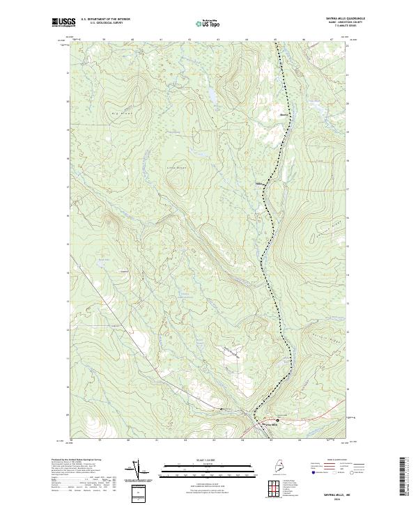 2024 Smyrna Mills2024 Print · USGSThe area surrounding Smyrna Mills in the 2020s remains a landscape of river valleys and timber ridges. Researchers can locate family sites at the Smyrna Mills Cem or trace the drainage of the East Branch Mattawamkeag River near Hillman and White Lake.
 - 2024 Map of Knowles Corner, 2024 Print
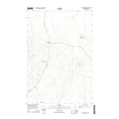
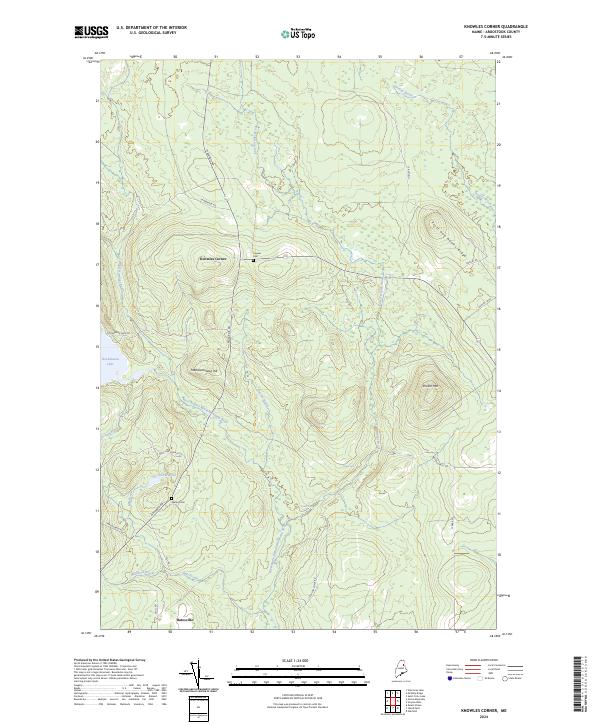 2024 Knowles Corner2024 Print · USGSAroostook County's timberlands and river valleys are captured here in the 2020s, centered on the historic junction of Knowles Corner. Genealogists and hikers can trace the West Branch Mattawamkeag River past Upper Falls to old sites like Cooper Cem and Batesville.
 - 2024 Map of Island Falls, 2024 Print
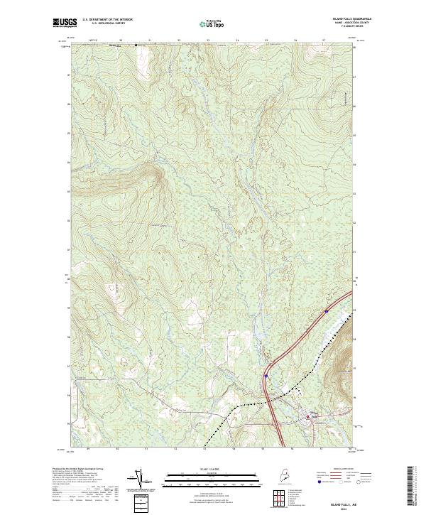 2024 Island Falls2024 Print · USGSNorthern Maine timberlands and river valleys come into focus in this contemporary survey of southern Aroostook County. Family historians can locate Batesville and Bates Cem or trace the early industrial footprint of Champion Paper Rd.
 - 2024 Map of Oakfield, 2024 Print
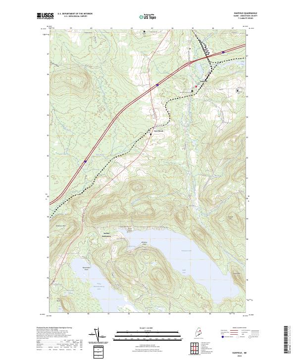 2024 Oakfield2024 Print · USGSNorthern Maine's lake country and the upper Mattawamkeag valley are documented here in recent years. Researchers can trace family sites at Walker Settlement, Oakfield Cem, and the historic Thompson Settlement.
End of results
Showing maps 1-20 of 20
Top cities near Merrill
- Linneus historical maps
- Patten historical maps
- Sherman historical maps
- Island Falls historical maps
- Oakfield historical maps
- New Limerick historical maps
See more
Frequently asked questions
- What are the different types of historical maps available for Merrill?
- What is the oldest map of Merrill?
- Where can I purchase historical maps of Merrill for my home or office?
- Where can I download high-res historical maps of Merrill?
- Are there historical topographic maps available for Merrill?
- Is there historical aerial imagery available for Merrill?
- Where are historical maps of Merrill sourced from?